
Tutte le aste / Libri, Mappe & Manoscritti / The World Described

The World Described
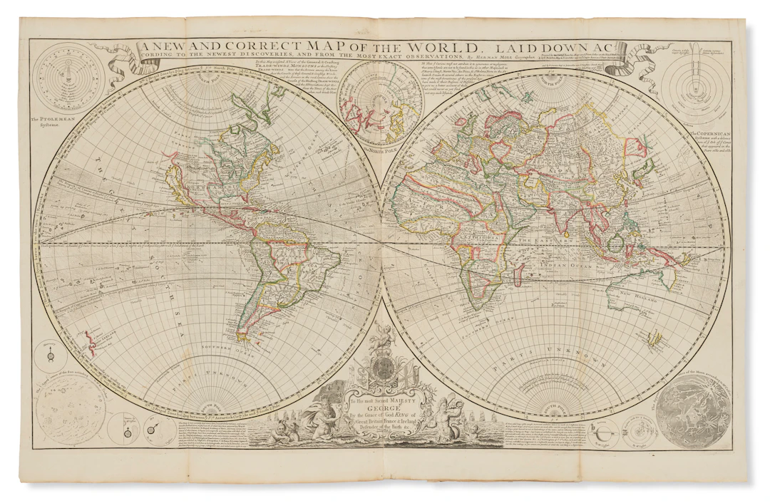
MOLL, Herman (1654?-1732). The World described; or a New and Correct Sett of Mapps. Shewing the Several Empires, Kingdoms, Republics, Principalities, Provinces &c in all Known Parts of the World . London: Tho. Bowles, [c.1731]. A fine example of Herman Moll’s important world atlas, consisting of 30 large two-sheet maps covering the whole world : two world maps, four covering the British Isles, 14 of Europe, one of Africa, three of Asia, and six of the Americas. The atlas, originally published between 1709 and 1720, contains two important maps of North America: "A New and Exact Map of the Dominions of the King of Great Britain on ye Continent of North America," also known as the "Beaver" map on account of its attractive vignette showing a beaver colony near Niagara Falls; and "A New Map of the North Parts of America Claimed by France." Both are among "the first and most important cartographic documents relating to the ongoing dispute between France and Great Britain over boundaries separating their respective American colonies" (Pritchard & Taliaferro). The Beaver map, present here in Pritchard & Taliaferro's 1731 4th state, is also considered to be the first postal map of the colonies. Moll’s map of the East Indies is also of note, as it is one of the first English two-sheet maps of the area. The map stretches from India to Papua New Guinea, and bears several large insets of the area’s most important trading posts. The map is dedicated to the Directors of the East India Company, whose coat-of-arms can be seen above the title. Phillips Atlases 554; Pritchard and Taliaferro 19 (state 4 of the Beaver map). Tall folio (640 x 300). Broadside title-page laid down on front pastedown, 30 two-sheet folding maps, all with original outline color and mounted on stubs (some minor losses and reinforcements along folds in a few places, Great Britain map repaired at bottom margin and with small loss to "R" in cartouche, Baltick map measuring only 550mm in height with outer 50ml on either side repaired/reinforced). Contemporary tooled English calf (repairs at spine ends and board tips, some rubbing/scrapes, a little worming inside covers).
Stima:€17,850.08
Vai all’astaVedi tutti gli oggetti diChristie'soLibri, Mappe & Manoscritti
Stima:
€17,850.08
Oggetti simili





Risultati d’asta per oggetti simili
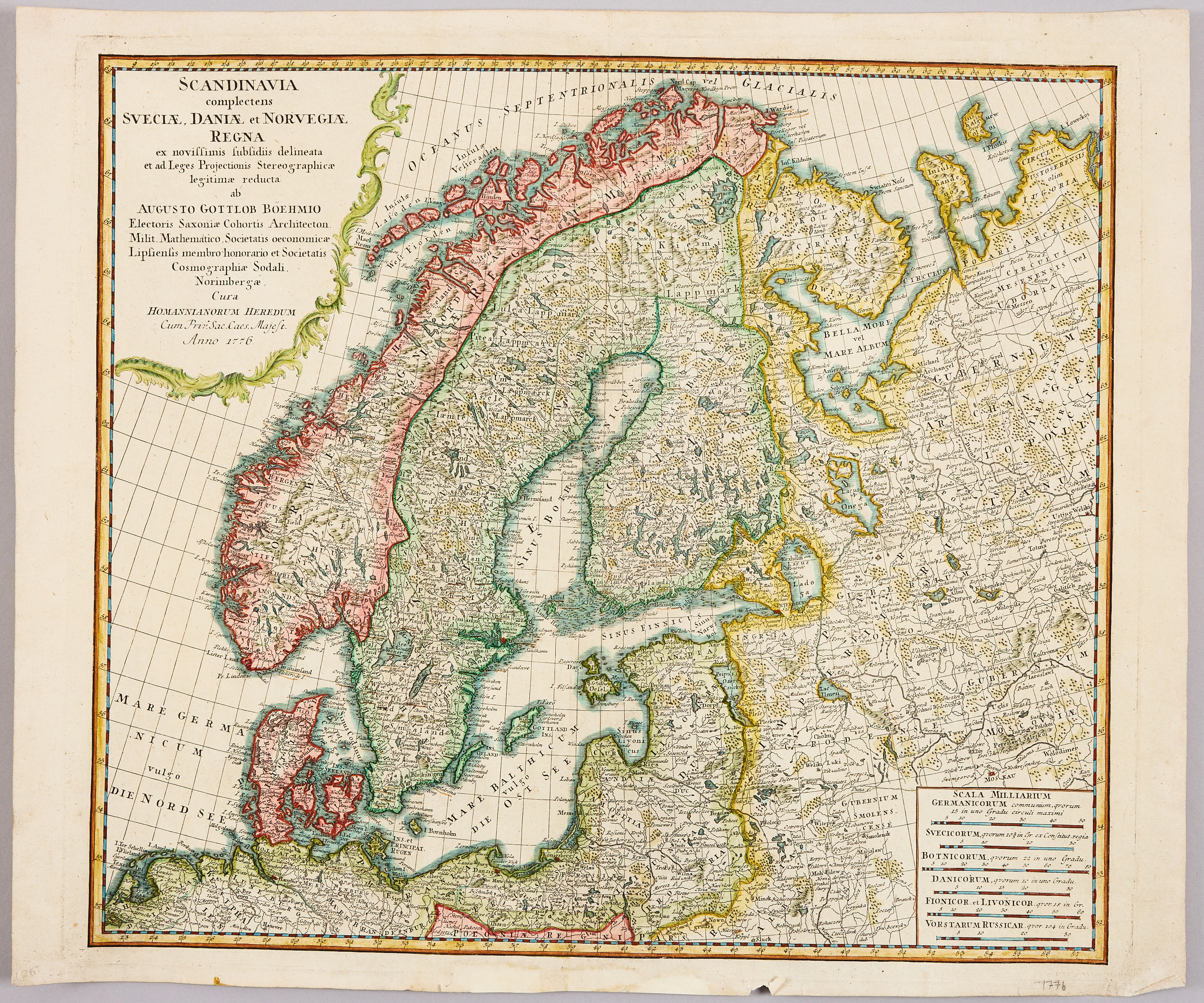
HOMANNS ARVINGAR, KARTA ÖVER SKANDINAVIEN, ca 1770.
10/09/2026
€98.27
Stima: €107.33
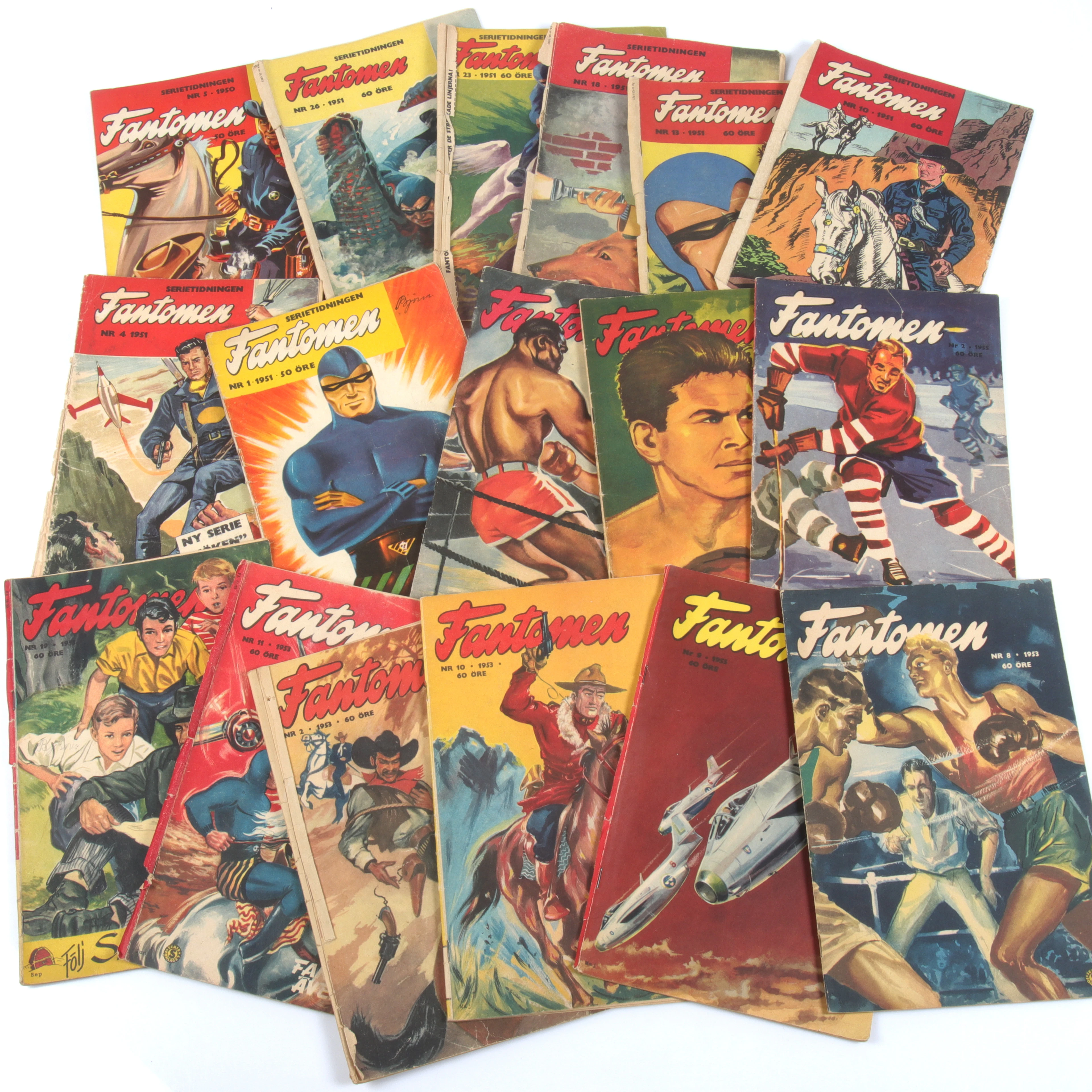
SERIETIDNINGAR, 57 st Fantomen, år 1950-56.
10/09/2026
€124.96
Stima: €71.55
KARL XII:S BIBEL. 1703, samtida band.
10/09/2026
€580.17
Stima: €536.69
Porta la tua asta ai collezionisti di tutto il mondo!
Pubblica ora