
Tutte le aste / Libri, Mappe & Manoscritti / Société Belge de Géographie - Bulletin de la Société...

Société Belge de Géographie - Bulletin de la Société...
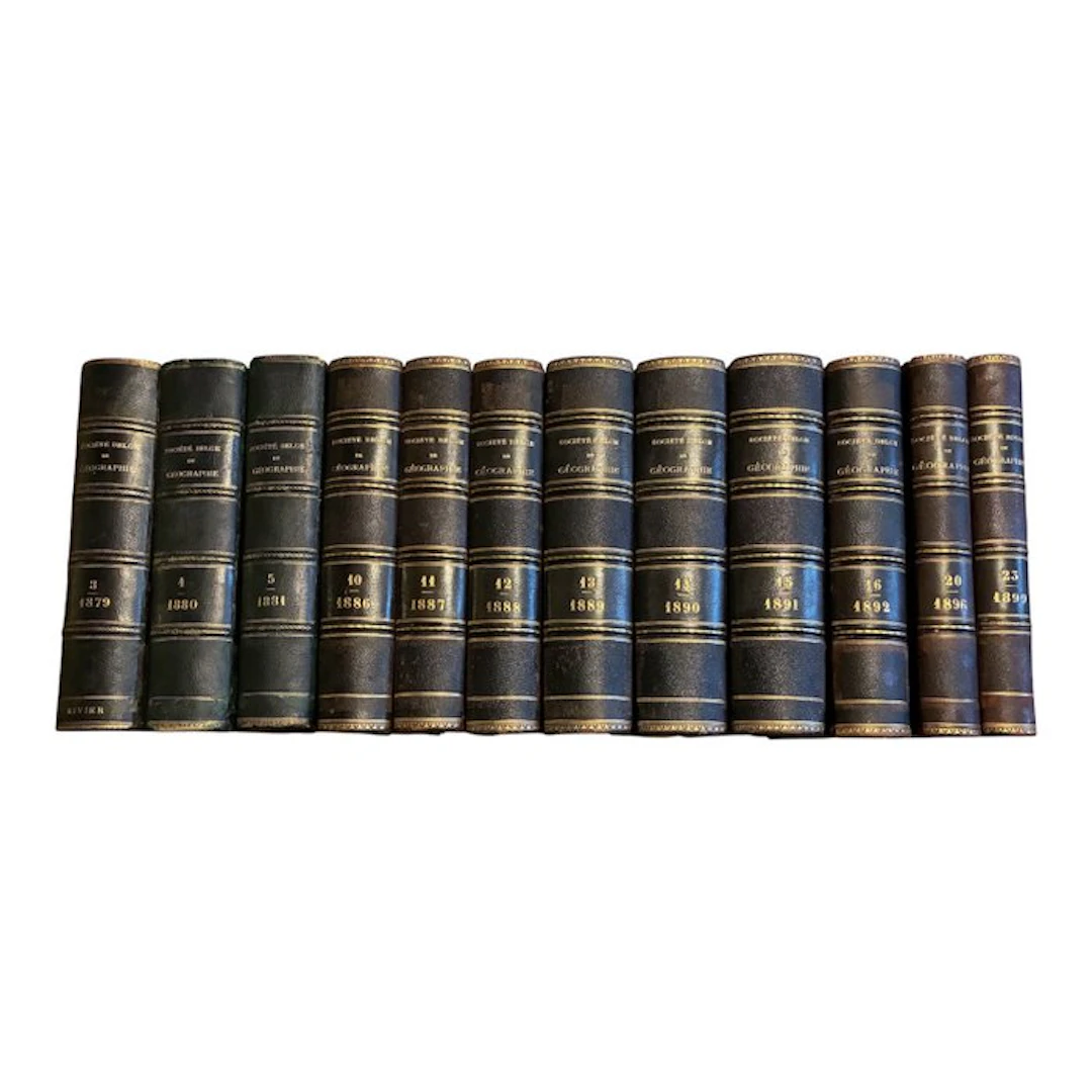
Belgian Society of Geography — Bulletin — 12 bound volumes, 1879–1899 — folding maps — geography and explorations Fine set of 12 old bound volumes of the Bulletin of the Belgian Society of Geography, published in Brussels at the end of the 19th century. These volumes collect articles on geography, travel narratives and expedition reports, regional studies, scientific communications, information on transport and trade, as well as maps. The Belgian Society of Geography was founded in Brussels in 1876. In 1882, it was authorized to take the title of Royal Belgian Geographical Society. The bulletins from this period reflect the growing interest in knowledge of the world, explorations, routes of communication and commercial exchange. They also reflect the colonial context of their time. Vols present: * Volume 3 — 1879 * Volume 4 — 1880 * Volume 5 — 1881 * Volume 10 — 1886 * Volume 11 — 1887 * Volume 12 — 1888 * Volume 13 — 1889 * Volume 14 — 1890 * Volume 15 — 1891 * Volume 16 — 1892 * Volume 20 — 1896 * Volume 23 — 1899 The years do not all follow consecutively: this is a set consisting of twelve volumes. The subjects identified in the digitized copies give a good idea of the richness of these bulletins. The 1879 volume notably discusses the scientific expedition of Messrs. Bagot and Beaver, travel instruments, military cartography, plans for an interoceanic canal, the Amazon, New Guinea, the trans-Andean railway, the winds of the globe, and prehistoric Limburg. In the 1899 volume, topics include Arctic regions, polar expeditions and the search for missing explorers. The works are illustrated with printed maps, several of which are folding maps visible in the photographs. These large maps add documentary and decorative interest to the set. The volumes are bound in dark covers, with spines adorned with titles and gold fillets. Photos show library stamps from the University of Brussels on some copies. * Number of volumes: 12 * Years: 1879, 1880, 1881, 1886–1892, 1896 and 1899 * Format indicated: approximately 22 × 16 cm * Total pagination: approximately 10,000 pages * Illustrations: printed maps and folding maps * Language: French Condition: old set in good condition with signs of use and aging. Lot sold as is, consisting of the twelve photographed volumes. Fast shipping with tracking.
Stima:€112
Vai all’astaVedi tutti gli oggetti diCatawikioLibri, Mappe & Manoscritti
Stima:
€112
Oggetti simili





Risultati d’asta per oggetti simili
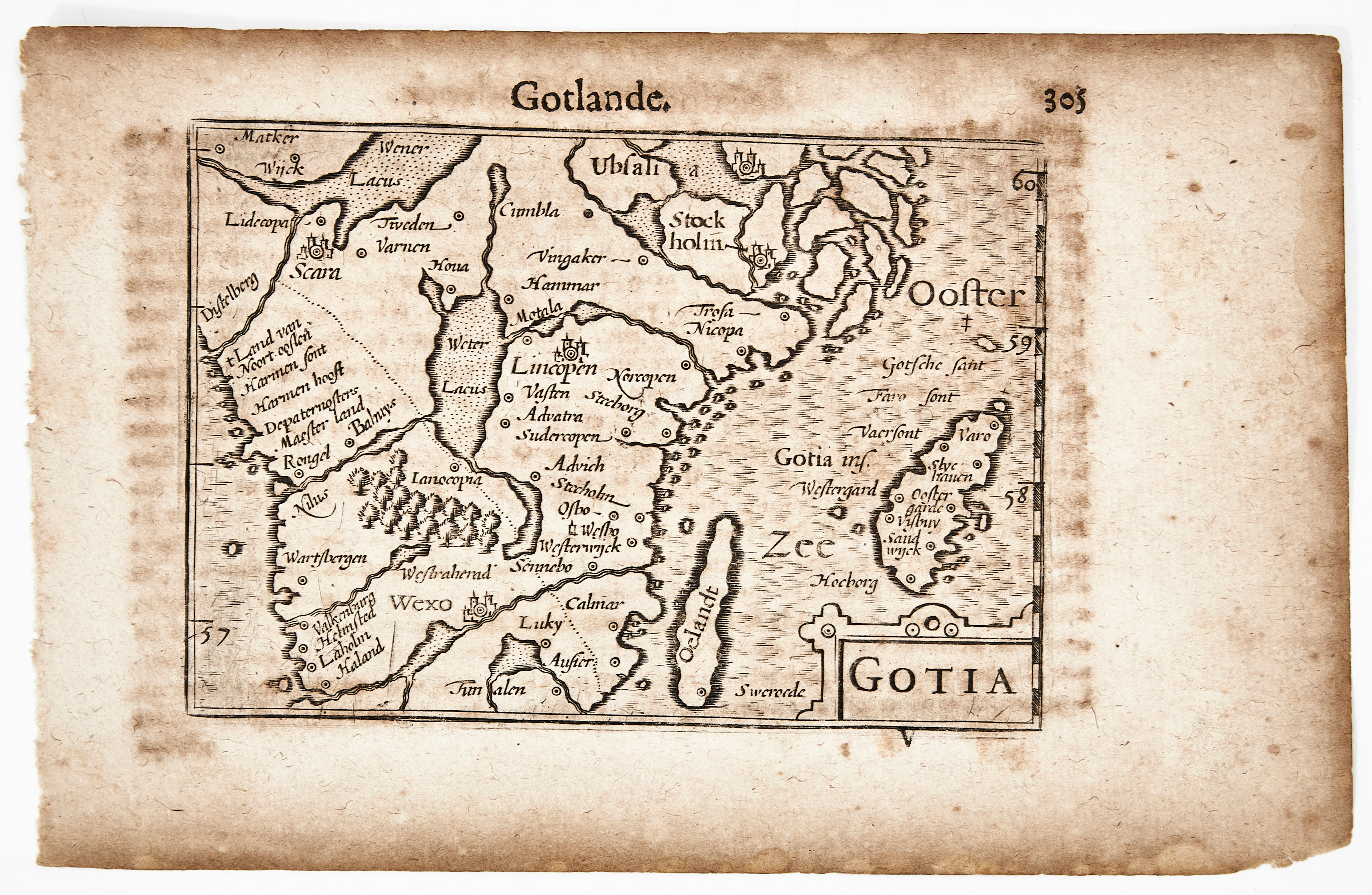
BERTIUS KARTA ÖVER GÖTALAND, Gotia, ca 1670.
10/07/2026
€90.34
Stima: €106.64
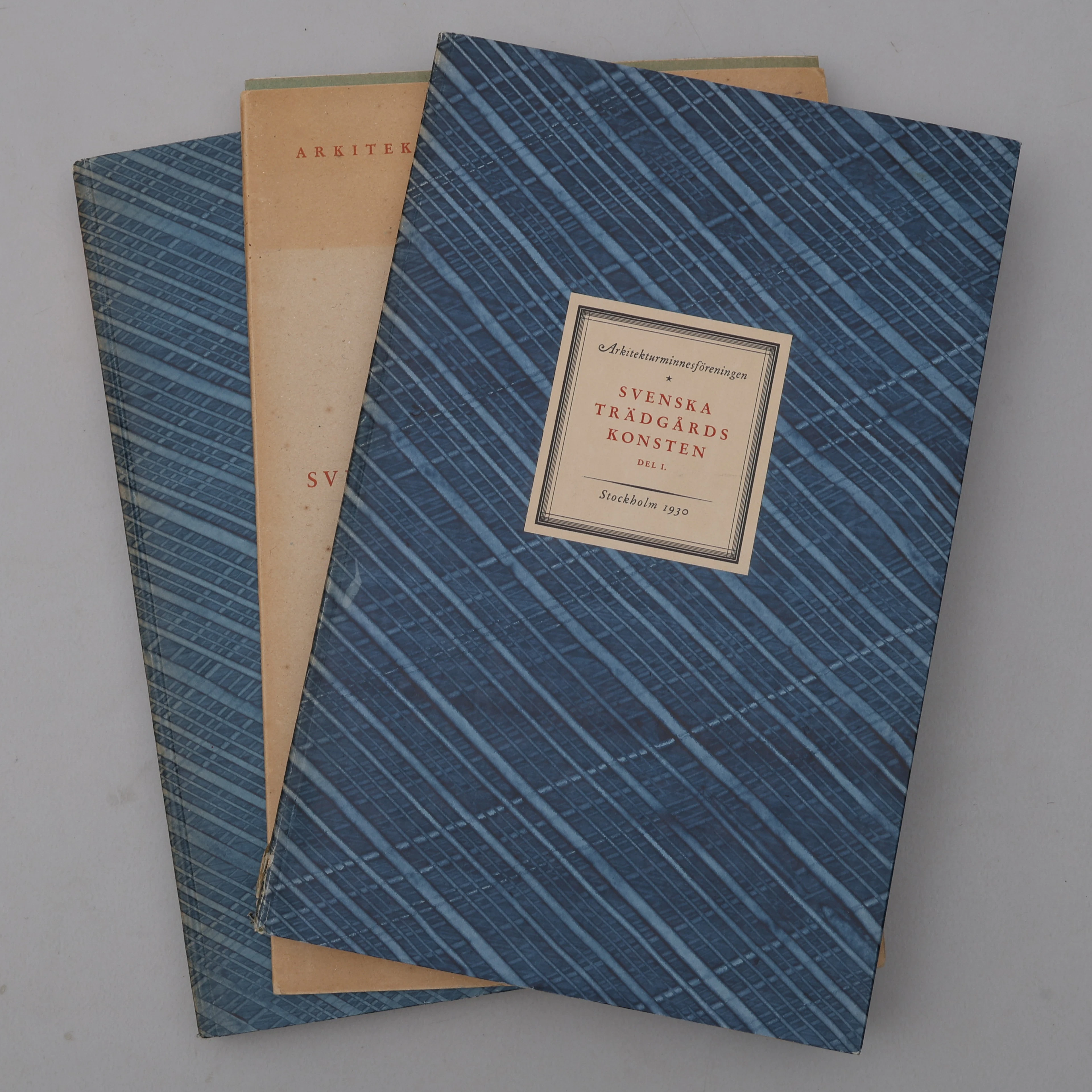
BIBLIOFILI/TRÄDGÅRD. SVENSKA TRÄDGÅRDSKONSTEN SÅDAN DEN TILL VÅRA
10/07/2026
€98.39
Stima: €266.61
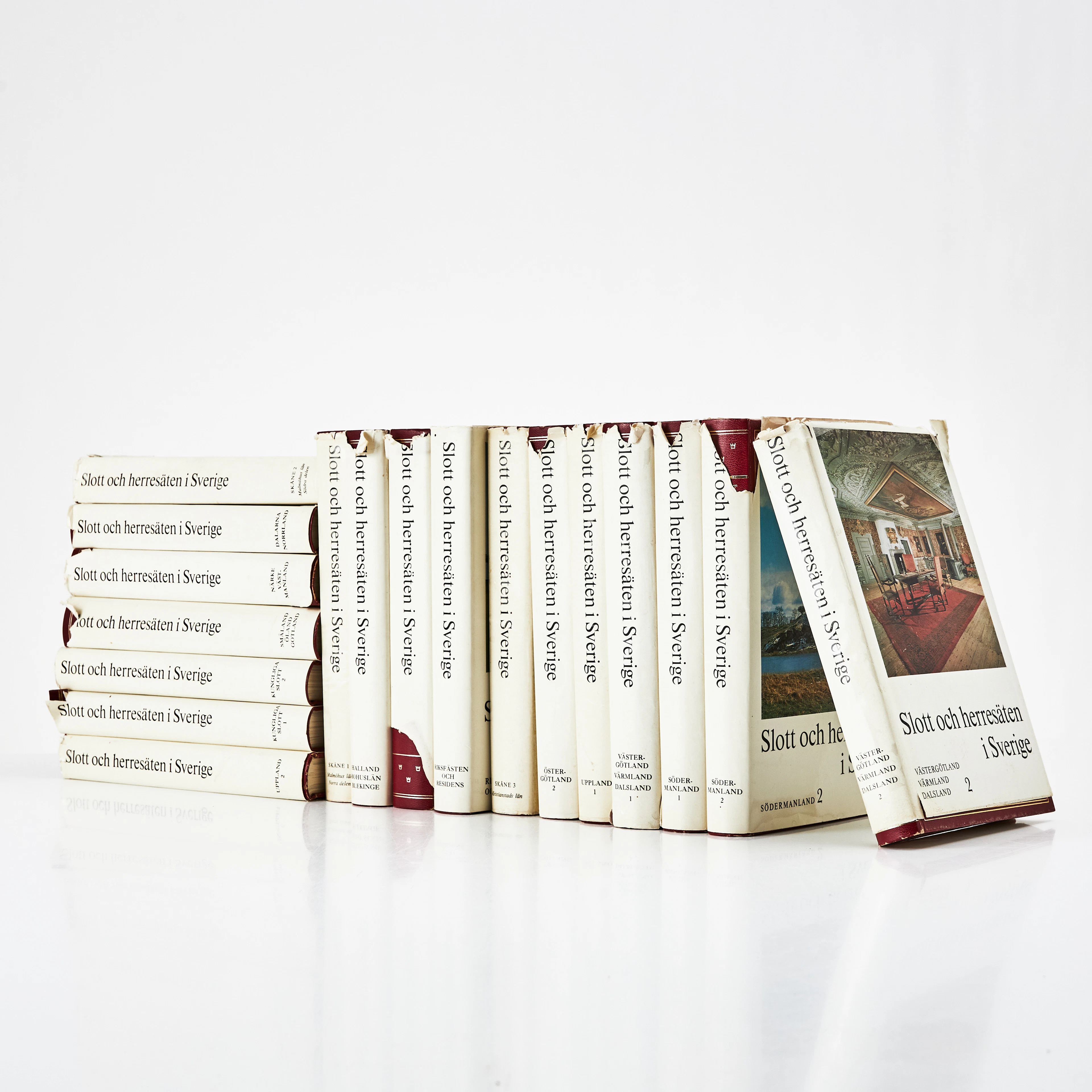
SLOTT OCH HERRESÄTEN I SVERIGE, 18 VOLYMER, Malmö, 1966-71.
10/07/2026
€71.55
Stima: €133.3
Porta la tua asta ai collezionisti di tutto il mondo!
Pubblica ora