




Tutte le aste / Filatelia & Francobolli / Richard Horwood's: Map of London. 1792–1799. 32 plates. Engravings.

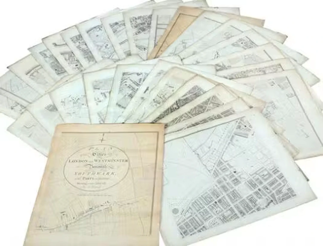
Richard Horwood's Map of London. Titel page with following inscription: “Plan of the Cities of London and Westminster and Borough of Southwark, and Parts adjoining Shewing every House, By R. Horwood”. 1792–1799. 32 plates. Engravings. Sheet size 68 × 57.5 to 71 × 58 cm. (32).
Stima:€1,337.74
Vai all’astaVedi tutti gli oggetti diBruun RasmussenoFilatelia & Francobolli
Stima:
€1,337.74
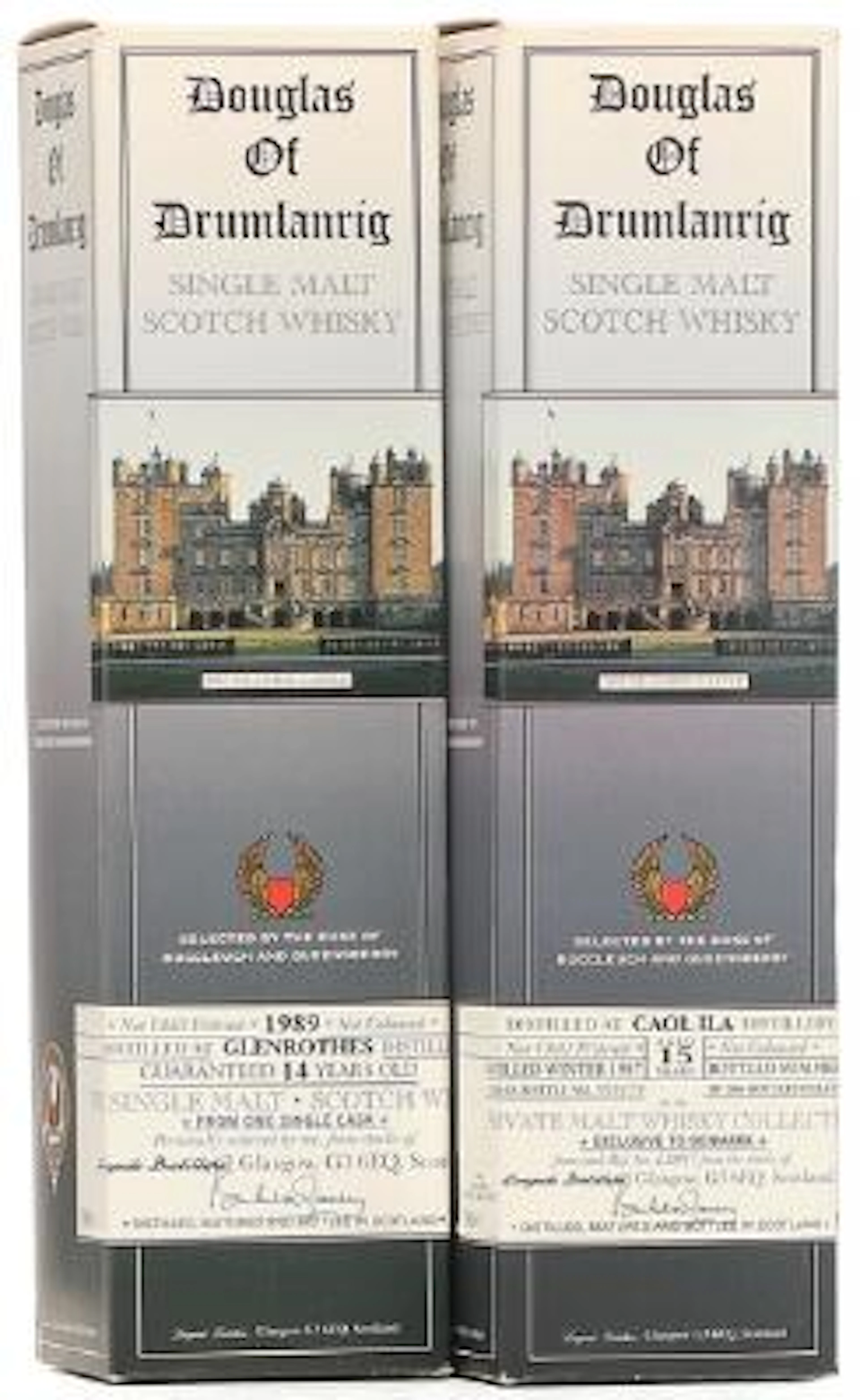
1 bt. Douglas of Drumlanrig, Single Malt Scotch Whisky 1989 Oc. etc.
10/15/2026
€180.57
Stima: €180.59
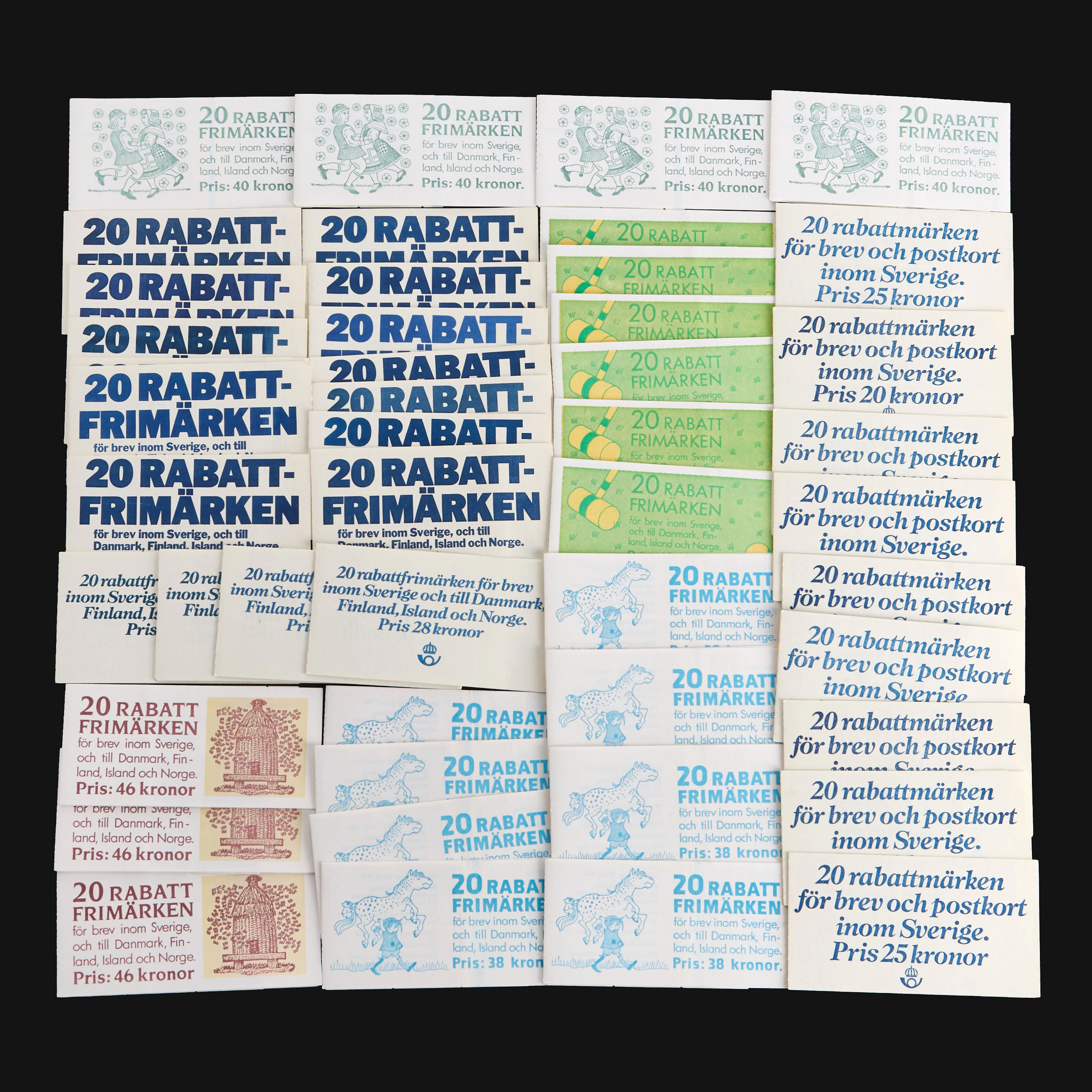
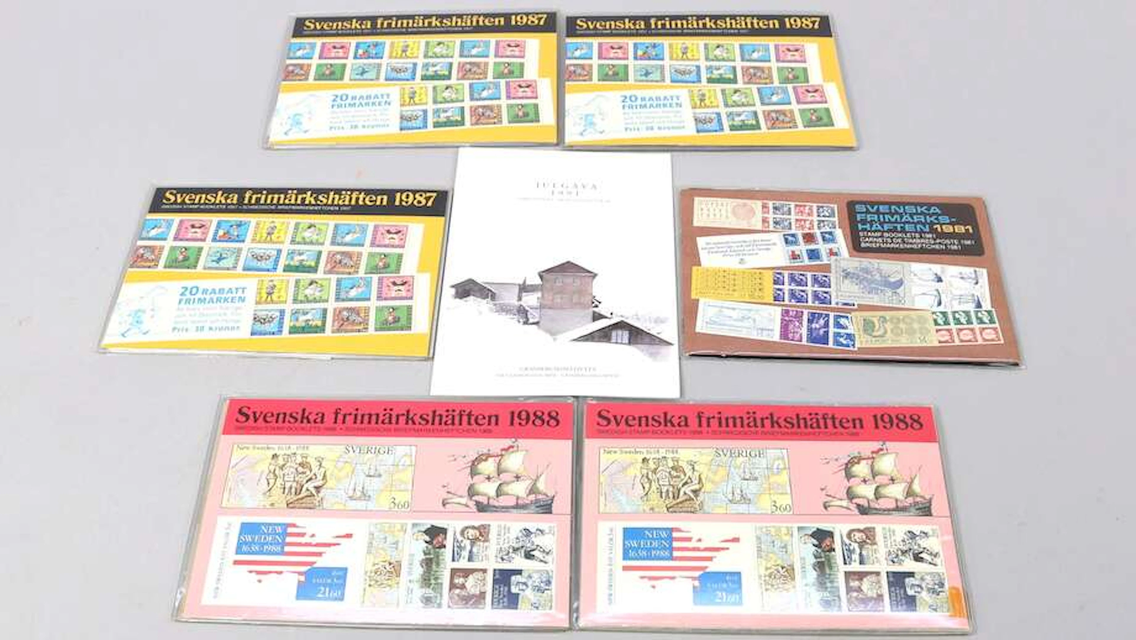
RABATTFRIMÄRKEN, 47 svenska häften, 1980-tal.
10/14/2026
€441.7
Stima: €537.49
Porta la tua asta ai collezionisti di tutto il mondo!
Pubblica oraIscrivendoti, accetti la politica sulla privacy. Annulla l'iscrizione in qualsiasi momento.
Barnebys HQ
Brahegatan 10
BOX 5038
114 37 Stockholm
