
Tutte le aste / Libri, Mappe & Manoscritti / Jules Verne - Géographie illustrée de la France - 1880

Jules Verne - Géographie illustrée de la France - 1880
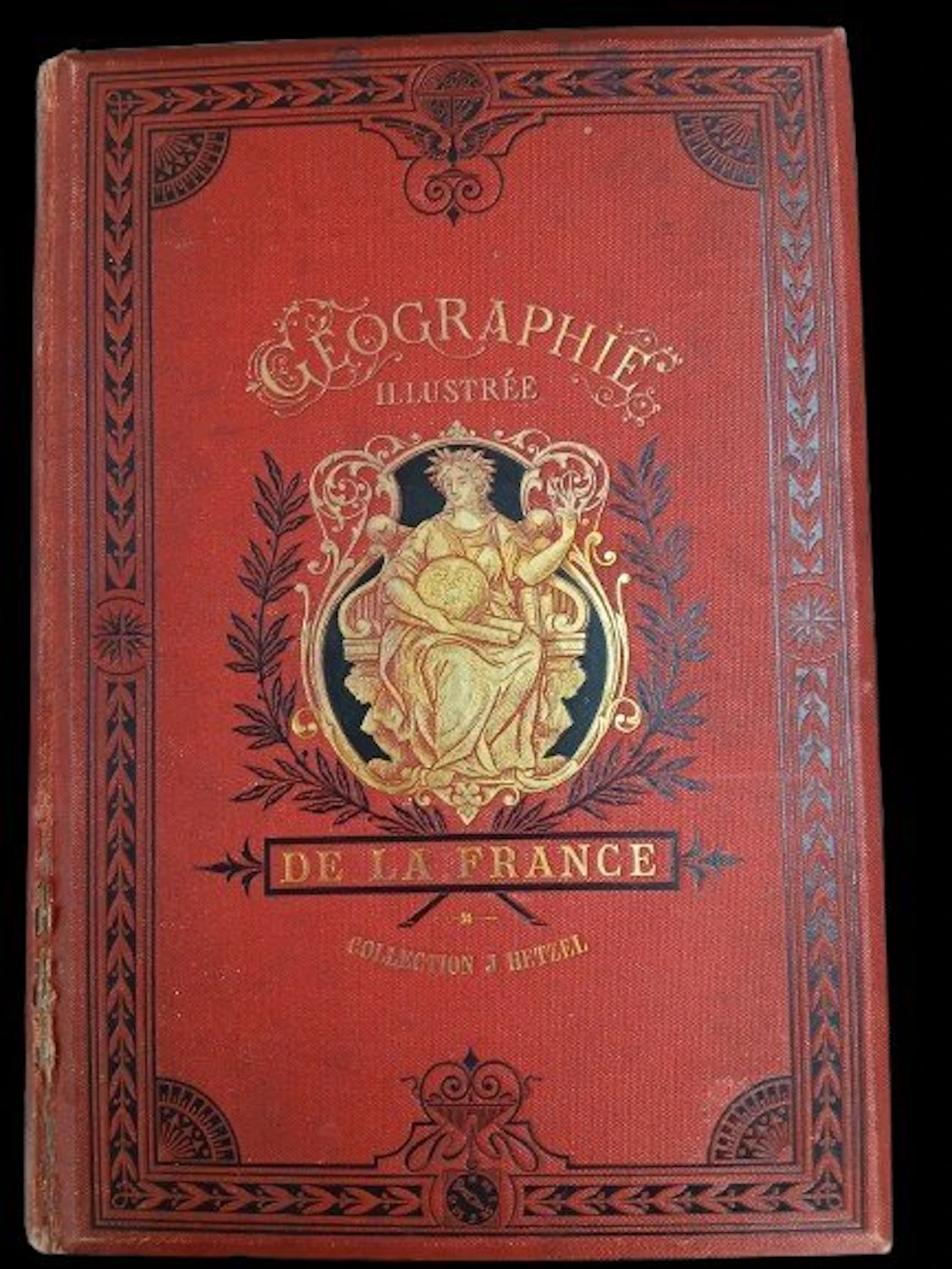
Illustrated Geography of France - Jules Verne Preceded by a study on the general geography of France. By Théophile Lavallée. New edition entirely revised, with texts and maps, and providing the comparative state of Alsace-Lorraine before and since 1870. An absolutely inédit work by Mr. Dubail, Assistant Professor of Geography at the École de Saint-Cyr. Illustrations by Clerget and Riou. Maps by Constant, engraved by Sedille. Paris, Bibliothèque d’Éducation J. Hetzel – undated (1880) – 775 pages. Hetzel binding, monochrome red. Gilt title on a red background with a black border, second cover with a black border. Half-title: “Edition entièrement revue et remise au courant.” Fore-edge split at the bottom of the spine. Headbands and corners in good condition. Very good condition of the binding — lingot binding.
Stima:€2
Vai all’astaVedi tutti gli oggetti diCatawikioLibri, Mappe & Manoscritti
Stima:
€2
Oggetti simili





Risultati d’asta per oggetti simili
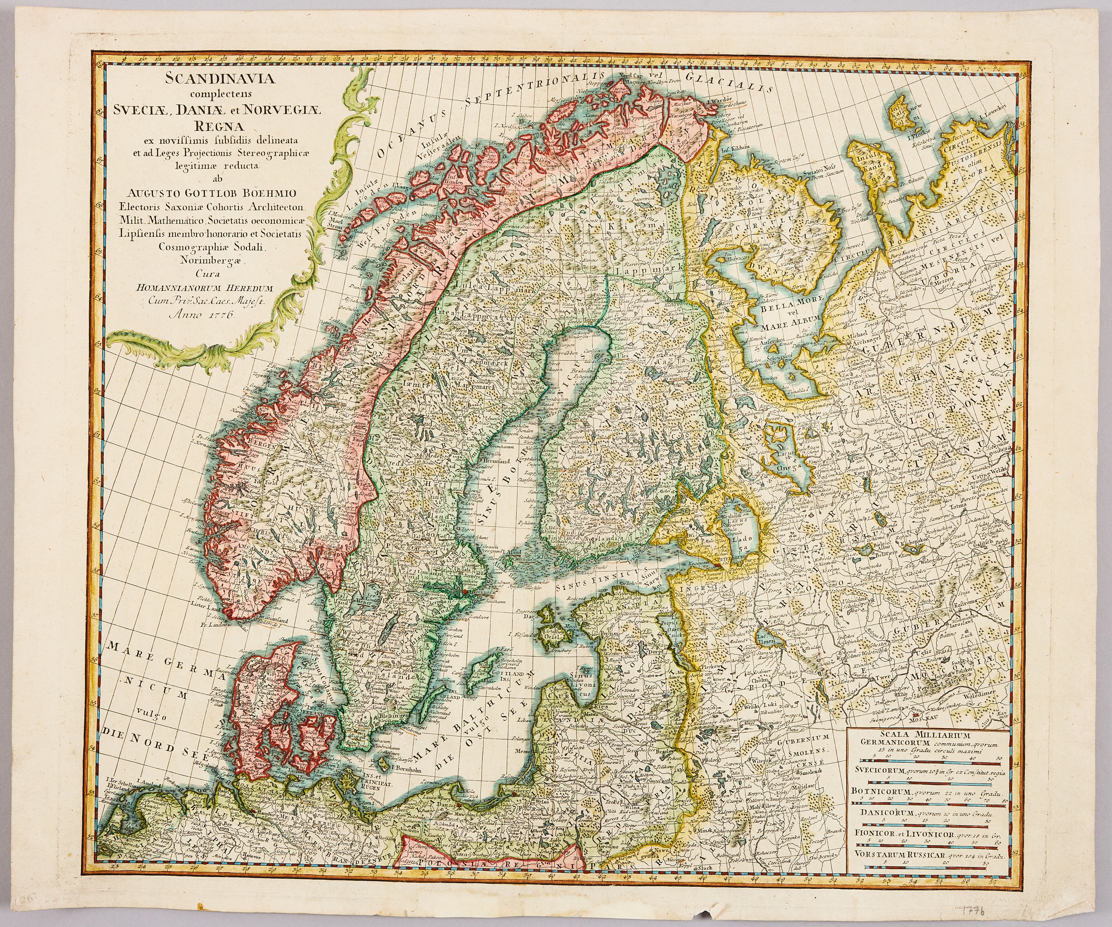
HOMANNS ARVINGAR, KARTA ÖVER SKANDINAVIEN, ca 1770.
10/09/2026
€98.27
Stima: €107.33


SERIETIDNINGAR, 57 st Fantomen, år 1950-56.
10/09/2026
€124.96
Stima: €71.55
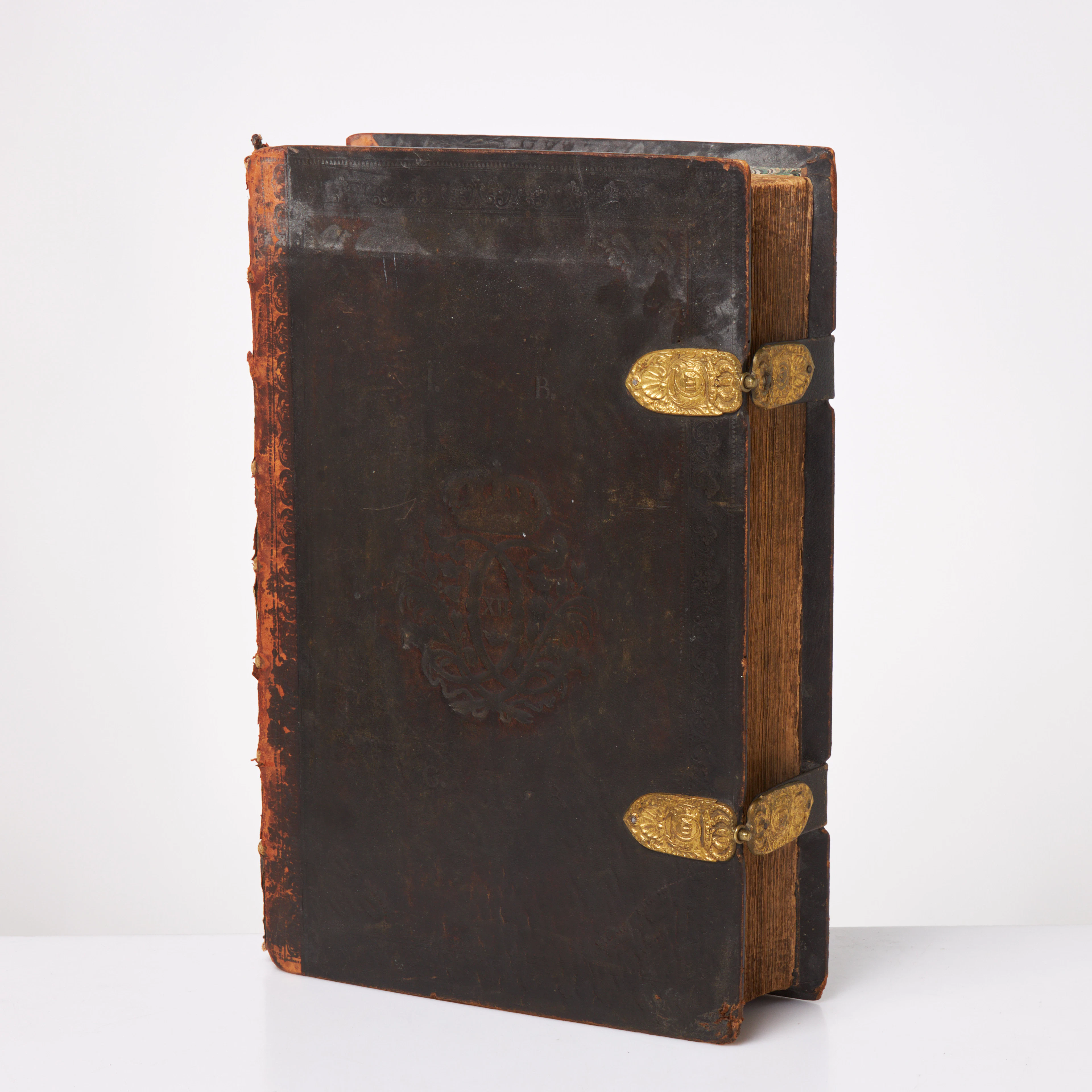
KARL XII:S BIBEL. 1703, samtida band.
10/09/2026
€580.17
Stima: €536.69
Porta la tua asta ai collezionisti di tutto il mondo!
Pubblica ora