








Tutte le aste / Libri, Mappe & Manoscritti / Italy - Italy

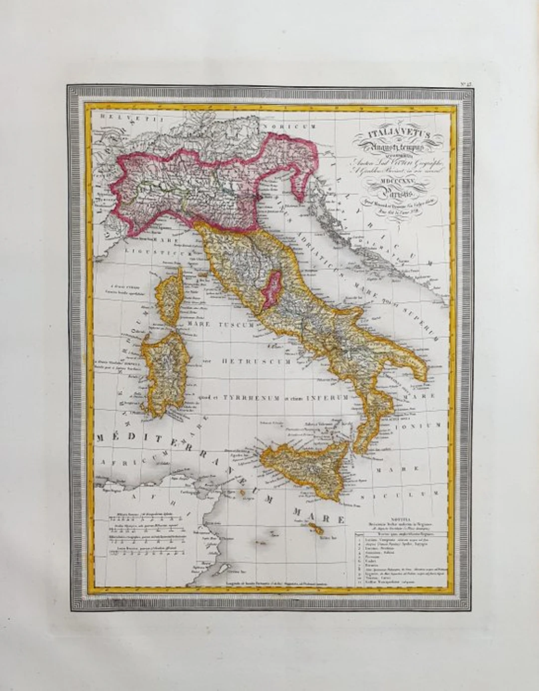
This Large-Folio Geographical Map is an original engraving from 1826. This is the rare edition by Louis Vivien de Saint-Martin, published in 1826 in his Atlas, which bears the title: "ATLAS UNIVERSEL Pour Servir à l'Étude de la Geographie et de l'Histoire Anciennes et Modernes à Paris, 1826". Map printed in Paris, with excellent coloring, wide margins, and geographically well detailed in every point. Condition: the condition is very, very good, very clean as shown in the photo. The overall dimensions of the map are: 59 cm x 43 cm.
Stima:€19
Vai all’astaVedi tutti gli oggetti diCatawikioLibri, Mappe & Manoscritti
Stima:
€19
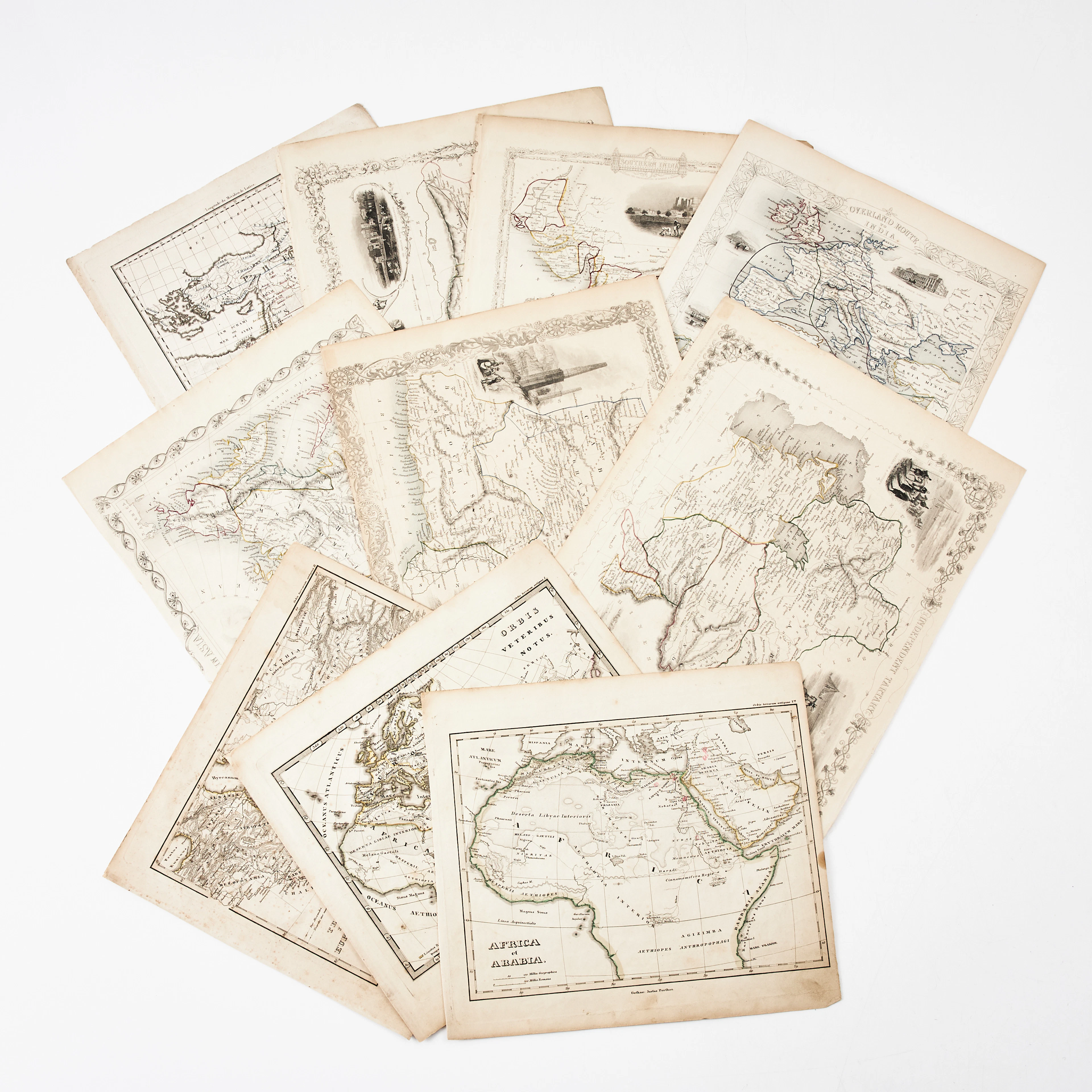
KARTOR 10 ST, bl.a. INDIEN, AFRIKA m.fl., 1800-tal.
10/18/2026
€26.96
Stima: €134.66

BD Barbe-Rouge - Le Roi des Sept Mers - Réédition Dargaud 19 - Lot 72
10/18/2026

€5
Stima: €15

Redbeard Comic Book - The Young Captain - Dargaud Reprint, 1 - Lot 73
10/18/2026
€5
Stima: €15

Redbeard Comic Book - Redbeard to the Rescue - Dargaud Repri - Lot 79
10/18/2026
€3
Stima: €15
Porta la tua asta ai collezionisti di tutto il mondo!
Pubblica oraIscrivendoti, accetti la politica sulla privacy. Annulla l'iscrizione in qualsiasi momento.
Barnebys HQ
Brahegatan 10
BOX 5038
114 37 Stockholm
