Italy - Italy; Etruria
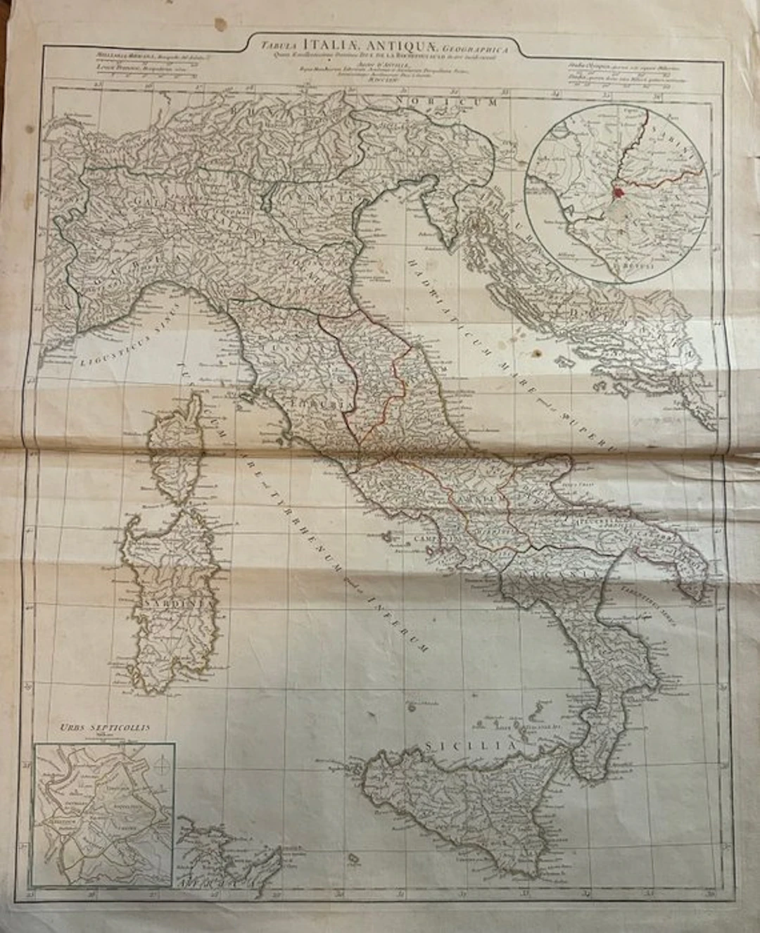
Splendid and important large historical map of Ancient Italy, drawn by the renowned royal French cartographer Jean-Baptiste Bourguignon d'Anville (1697–1782). This map represents an absolute reference point for the study of classical topography and the regional division of Italy in the Roman-Republican and imperial eras. In the top right: Detailed view of the territory of Latium Vetus (Ancient Lazio) and the land of the Sabines In the bottom left: The historical plan of ancient Rome titled "Urbs Septicollis" (the city of the seven hills), with the delimitation of the walls and the topography of the Roman hills. Visible are the editorial folds intended for insertion in an atlas (horizontal and vertical), structurally sound and free from tears or heavy restorations. Wide and intact outer margins. Small spots on the white edges and very light creases along the white edge See photos
Stima:€1
Vai all’astaVedi tutti gli oggetti diCatawikioLibri, Mappe & Manoscritti