








Tutte le aste / Libri, Mappe & Manoscritti / Italy - Apulia // Land of Otranto

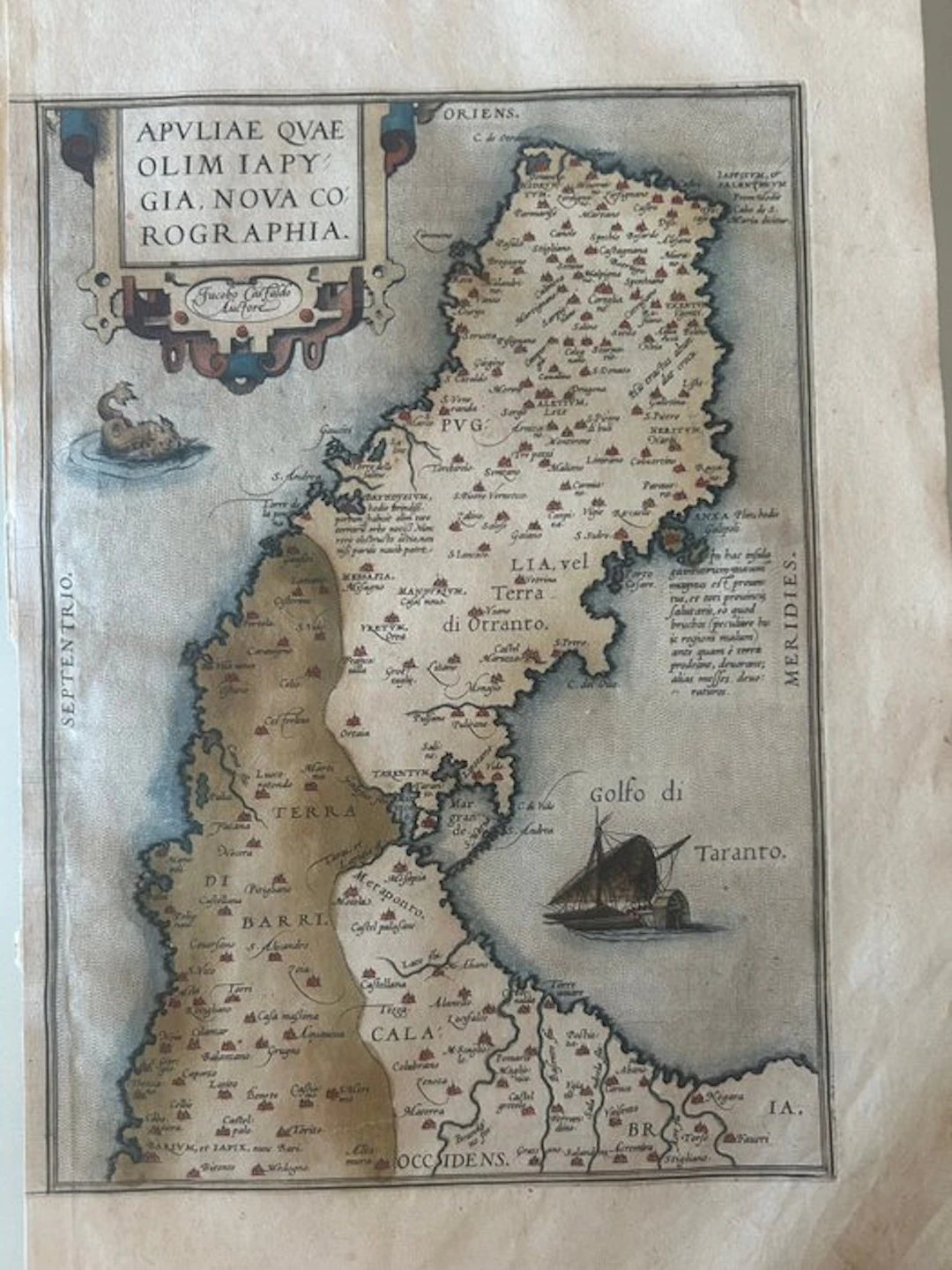
Splendid and celebrated Renaissance map of Apulia, based on the cartography of the great Piedmontese geographer Giacomo Gastaldi and included by Abraham Ortelius in his Theatrum Orbis Terrarum, considered the first true atlas in history. The map is distinguished by its characteristic and captivating inverted orientation compared to the modern one: the North is on the left (Septentrio) and the East is at the top (Oriens). This layout allows the Salento peninsula ("Terra di Otranto") to appear propped upward. The work is rich in topographic details and toponyms of the time, enriched by splendid decorative elements typical of Flemish cartography of the sixteenth century: • An elegant Renaissance cartouche with scrolls at the top left that encloses the title and Gastaldi's authorship. • A sea monster with fantastical features that sails across the Adriatic Sea. • A sixteenth-century galleon finely drawn inside the Gulf of Taranto. Margins well preserved, customary signs of the passage of time Left margin reduced
Stima:€150
Vai all’astaVedi tutti gli oggetti diCatawikioLibri, Mappe & Manoscritti
Stima:
€150
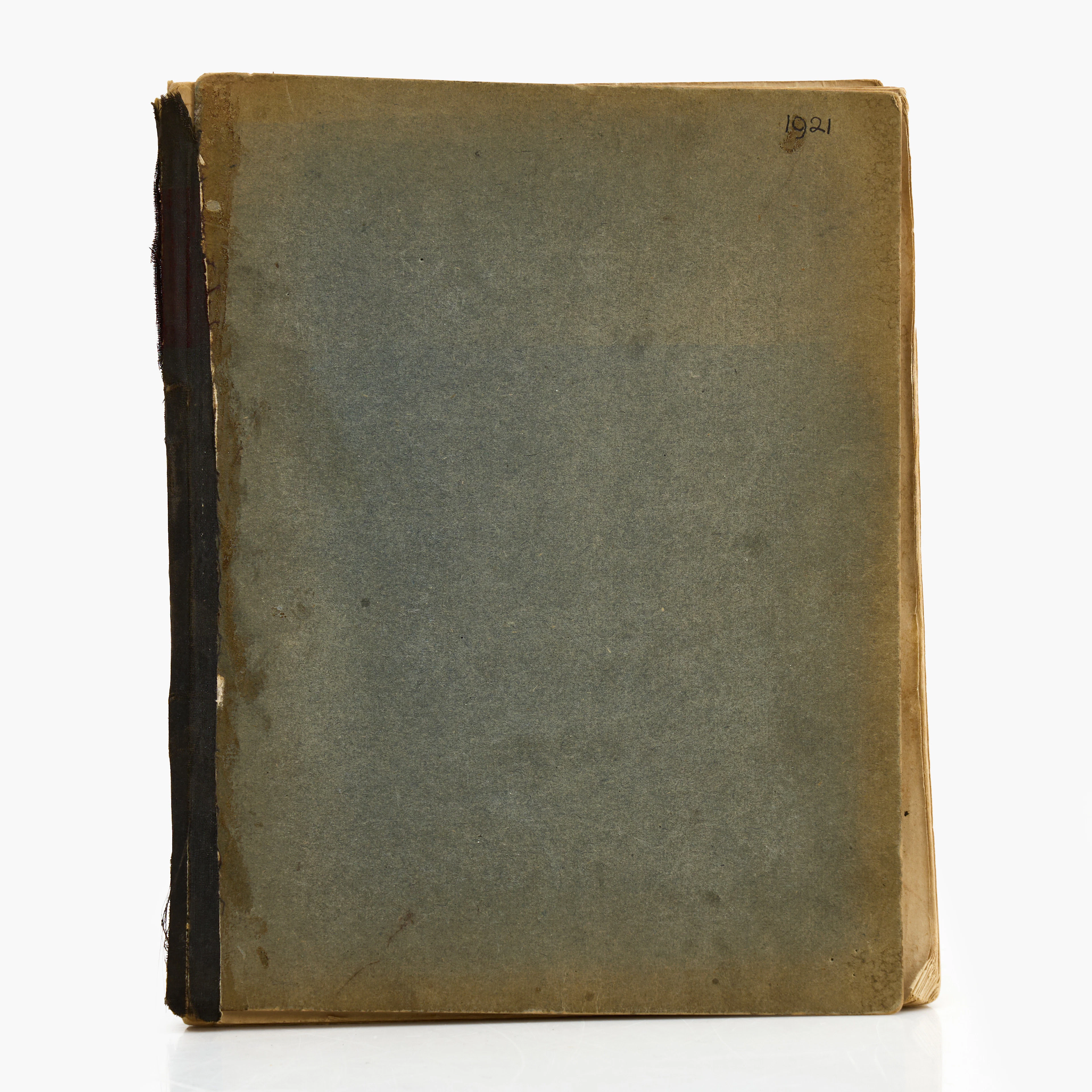
KARL NORDSTRÖM (Tjörn 1855-1923 Drottningholm). Skissbok, Frankrike
10/19/2026
€440.42
Stima: €897.77
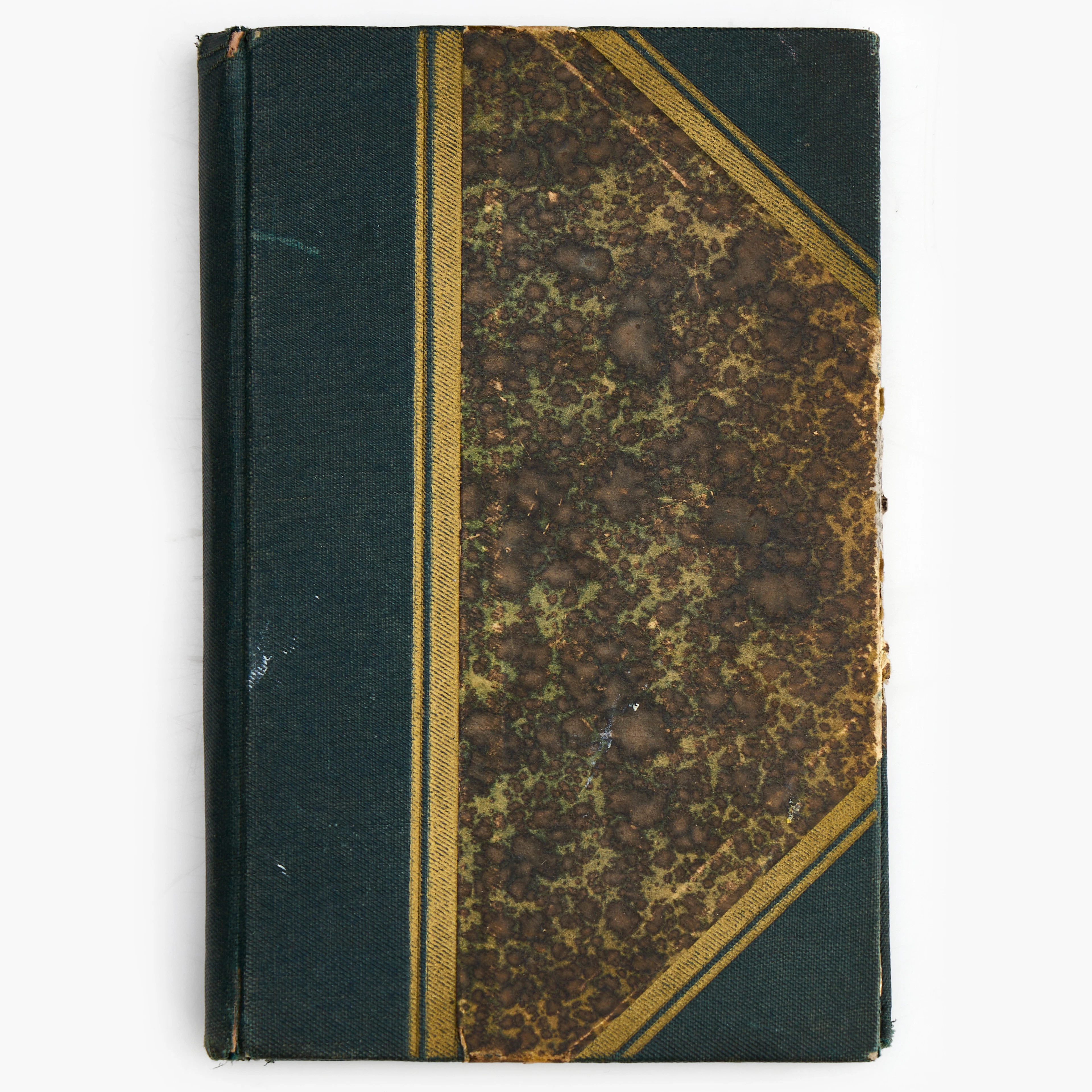
KARL NORDSTRÖM (Tjörn 1855-1923 Drottningholm). Anteckningsbok från 1920.
10/19/2026
€98.87
Stima: €359.1
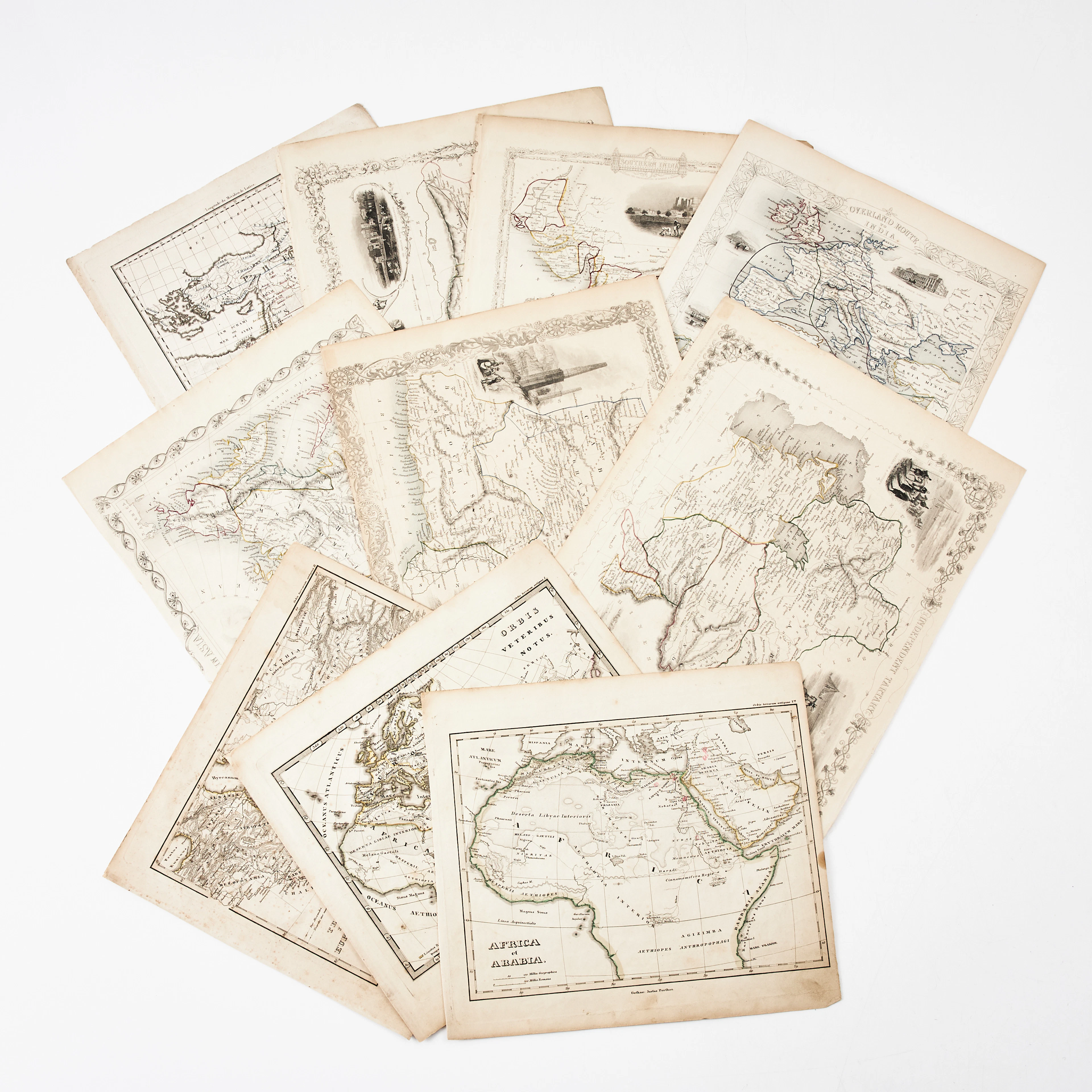
KARTOR 10 ST, bl.a. INDIEN, AFRIKA m.fl., 1800-tal.
10/18/2026
€26.96
Stima: €134.66
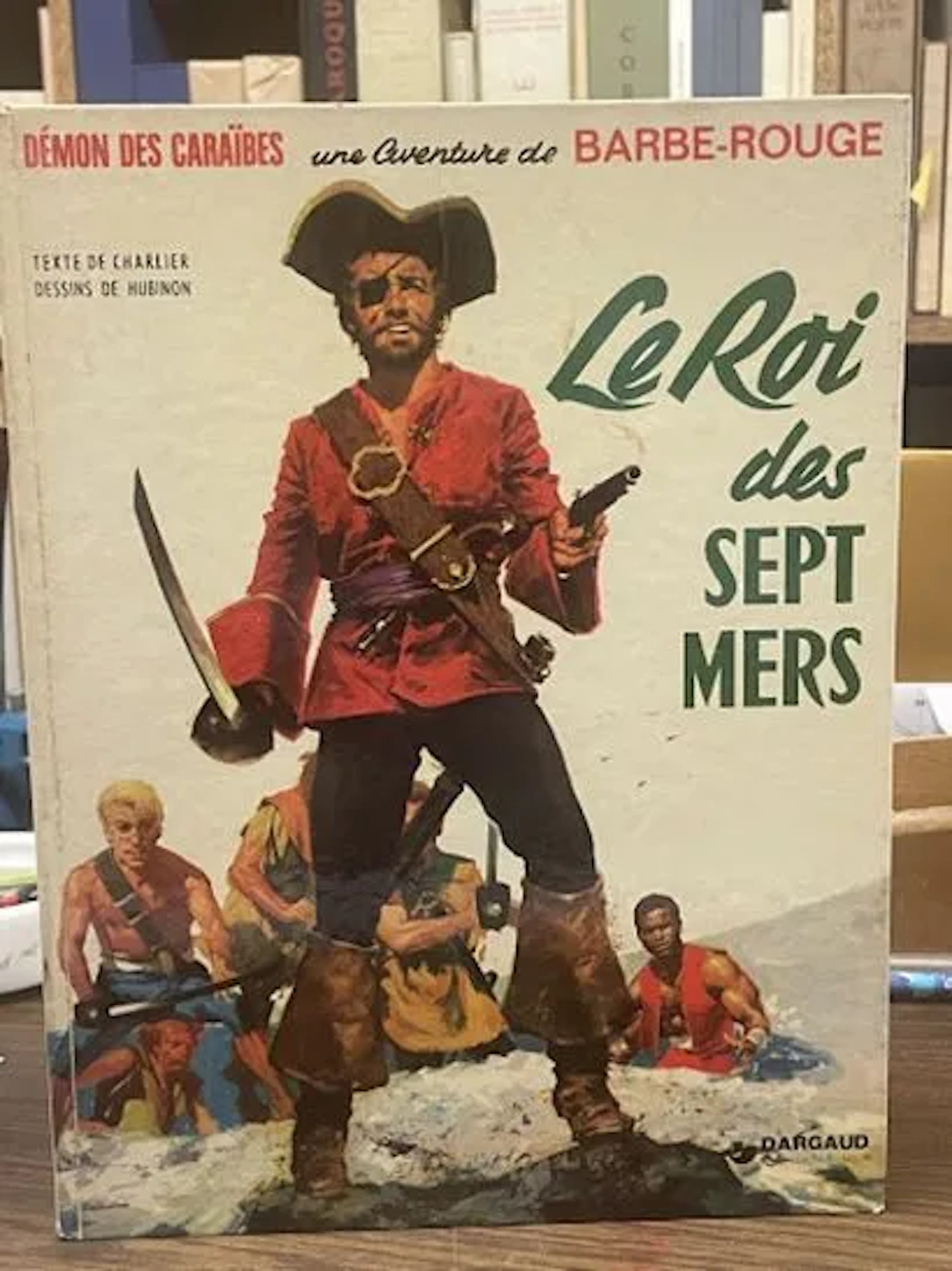
BD Barbe-Rouge - Le Roi des Sept Mers - Réédition Dargaud 19 - Lot 72
10/18/2026
€5
Stima: €15
Porta la tua asta ai collezionisti di tutto il mondo!
Pubblica oraIscrivendoti, accetti la politica sulla privacy. Annulla l'iscrizione in qualsiasi momento.
Barnebys HQ
Brahegatan 10
BOX 5038
114 37 Stockholm
