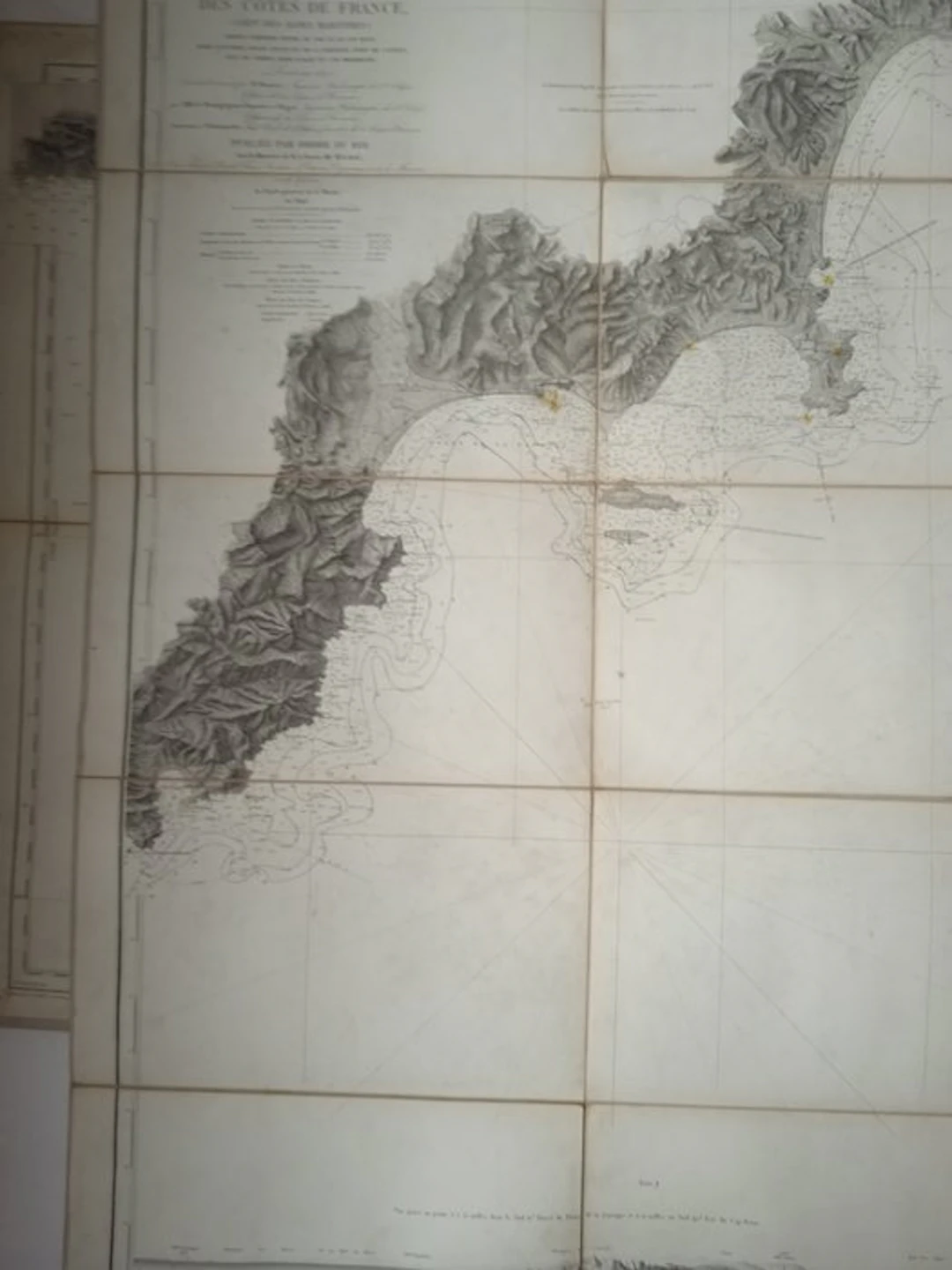
France - France; Forest - Carte Côte du sud de la France - 1881-1900
(Geographic map) MONNIER, M. - LE BOURGUIGNON DUPERRE – BEGAT – LIEUSSOU - DELAMARCHE. Special map of the coasts of France (Dept of Alpes-Maritimes), surveyed in 1840 based on work carried out from 1839 to 1844, published by order of the King under the Ministry of Baron Mackau in 1846, revised in 1872 by Messrs. Germain, Hall and Bouillet. Paris, Forest, 1893. Map measuring 680 mm x 1020 mm, linen-backed, black manuscript ex-libris framed on the upper border of the map, on one of the linen-backed folding panels and below the title label on another folding panel, handwritten ex-libris in black ink in the upper right part of the title label, a few rare marks in yellow felt-tip on the port towns, good and fine copy.
Stima:€1
Vai all’astaVedi tutti gli oggetti diCatawikioLibri, Mappe & Manoscritti