









Tutte le aste / Libri, Mappe & Manoscritti / Framed late 19th century colour-printed map of Dorsetshire, ...


Framed late 19th century colour-printed map of Dorsetshire, reduced from the Ordnance Survey and divided into five-mile squares, showing parliamentary divisions, railways and stations, with scale and marginal grid.
Stima:-
Vai all’astaVedi tutti gli oggetti diEASYLIVEAUCTIONoLibri, Mappe & Manoscritti
Stima:
-

WRANGEL, HIPPOLOGIA. HANDBOK I HÄSTKÄNNEDOM 1906.
10/22/2026
€80.89
Stima: €161.98
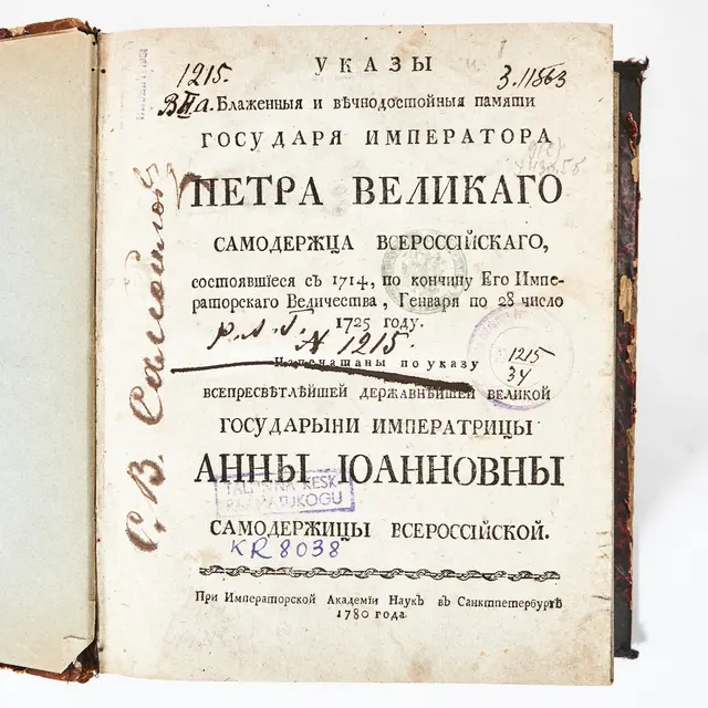
RYSK BOK RÖRANDE LAGAR OCH FÖRORDNINGAR, ST. PETERSBURG 1780.
10/22/2026
€409.58
Stima: €134.98
Porta la tua asta ai collezionisti di tutto il mondo!
Pubblica oraIscrivendoti, accetti la politica sulla privacy. Annulla l'iscrizione in qualsiasi momento.
Barnebys HQ
Brahegatan 10
BOX 5038
114 37 Stockholm
