






Tutte le aste / Libri, Mappe & Manoscritti / Europe - Greece

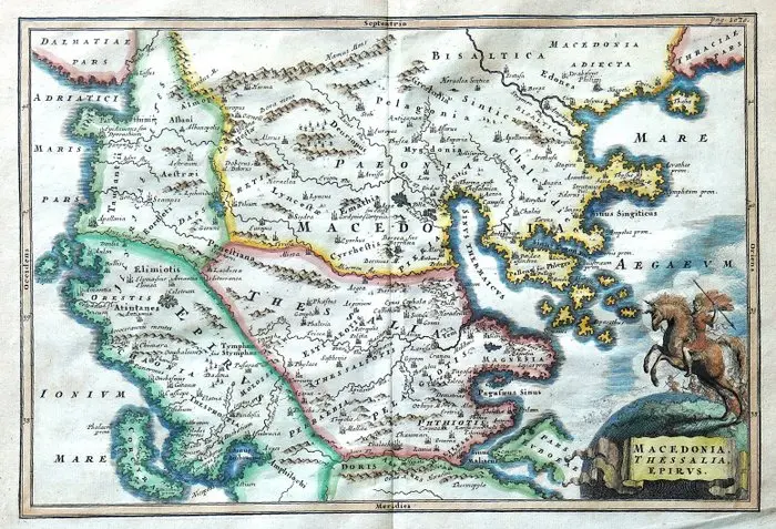
Technical sheet Title: Macedonia, Thessaly, Epirus. Map of Macedonia, Thessaly and Epirus with ancient toponymy. Author: Christoph Cellarius, latinized name of Christoph Keller (1638–1707). Publisher: Johann Friedrich Gleditsch Place: Leipzig, Germany. Date: 1732 Technique: copper-engraved print on copper, with burin-work and manually colored in a period of unconfirmed authorship. Support: laid paper. Dimensions: imprint 20.5 × 31 cm; sheet 25 × 34.5 cm. Inscription: title in the cartouche at the lower right; reference “Pag. 1030.” at the upper right; cardinal points indications in Latin along the border. Composition: single plate with a central editorial fold, referable to the cartographic apparatus of Notitia orbis antiqui, sive Geographia plenior. Back: blank, without printed text. Description Historical subject map dedicated to Macedonia, Thessaly and Epirus, designed to illustrate the geography of the ancient world. The representation covers a broad sector of the southern Balkan Peninsula, from the Adriatic and Ionian coasts to the Aegean Sea, including the Pall Calcidica peninsula, the inland regions of Macedonia and Thessaly, and parts of adjacent territories. The dense Latin nomenclature identifies towns, populations, regions, waterways and elevations. Settlements are marked by small architectural symbols, while mountain ranges are rendered with perspective profiles and hatching. The outlining of the coasts highlights the coves and the jogs of the peninsulas; a geographic scale accompanies the side margins. Manual coloring distinguishes regional boundaries with fields and color bands, emphasizing the coastline and the waters with blue tones. In the lower right corner, the title is enclosed in a cartouche on a rock base, topped by the figure of a horseman with spear and shield, evoking the military context of ancient Macedonia. The plate combines didactic and documentary function with a decorative Baroque taste, in which figurative ornament accompanies the reading of classical geography. Historical-artistic note Christoph Cellarius was a German philologist, historian and geographer, active in studies of antiquity. His geographical production aimed to reconstruct territories, settlements and regional divisions of the Greco-Roman world by comparing the testimonies of ancient authors. Notitia orbis antiqui, published in Leipzig at the beginning of the eighteenth century and reissued in successive editions, constitutes one of his main works of historical geography. The maps accompanying the text translate scholarly research into representations intended for the study of history and classical literature. This plate belongs to that tradition, with particular attention to the northern regions of Greece and the territories connected to Macedonian history. Condition Report Vertical central editorial fold, with a paper die applied on the verso along most of its extent. Paper slightly yellowed, with undulations, secondary folds and scattered small brown spots. Oblique fold along the lower margin. Coloring with local inhomogeneities and pigment flotation on the verso. The engraved part remains legible overall. Verso: blank.
Stima:€1
Vai all’astaVedi tutti gli oggetti diCatawikioLibri, Mappe & Manoscritti
Stima:
€1
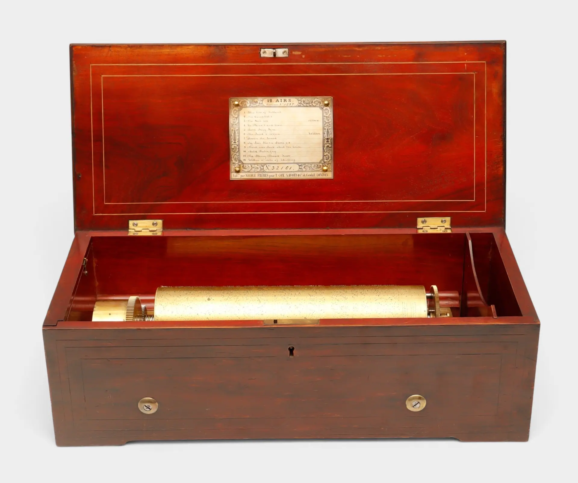
Caja de música suiza de doce canciones de Nicole Frères, hacia 1848-1852.
10/22/2026
€1,350
Stima: €1,300
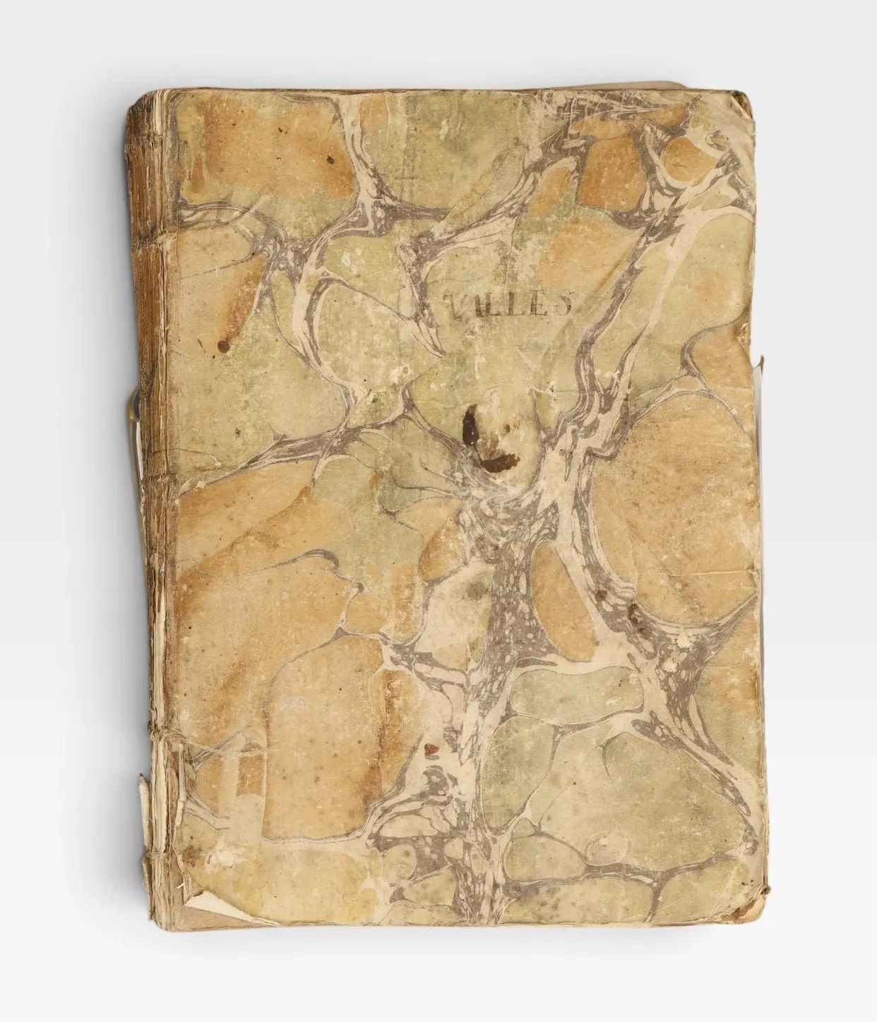
Guerra de la Independencia, Cataluña, 1808-1809.
10/22/2026
€130
Stima: €140
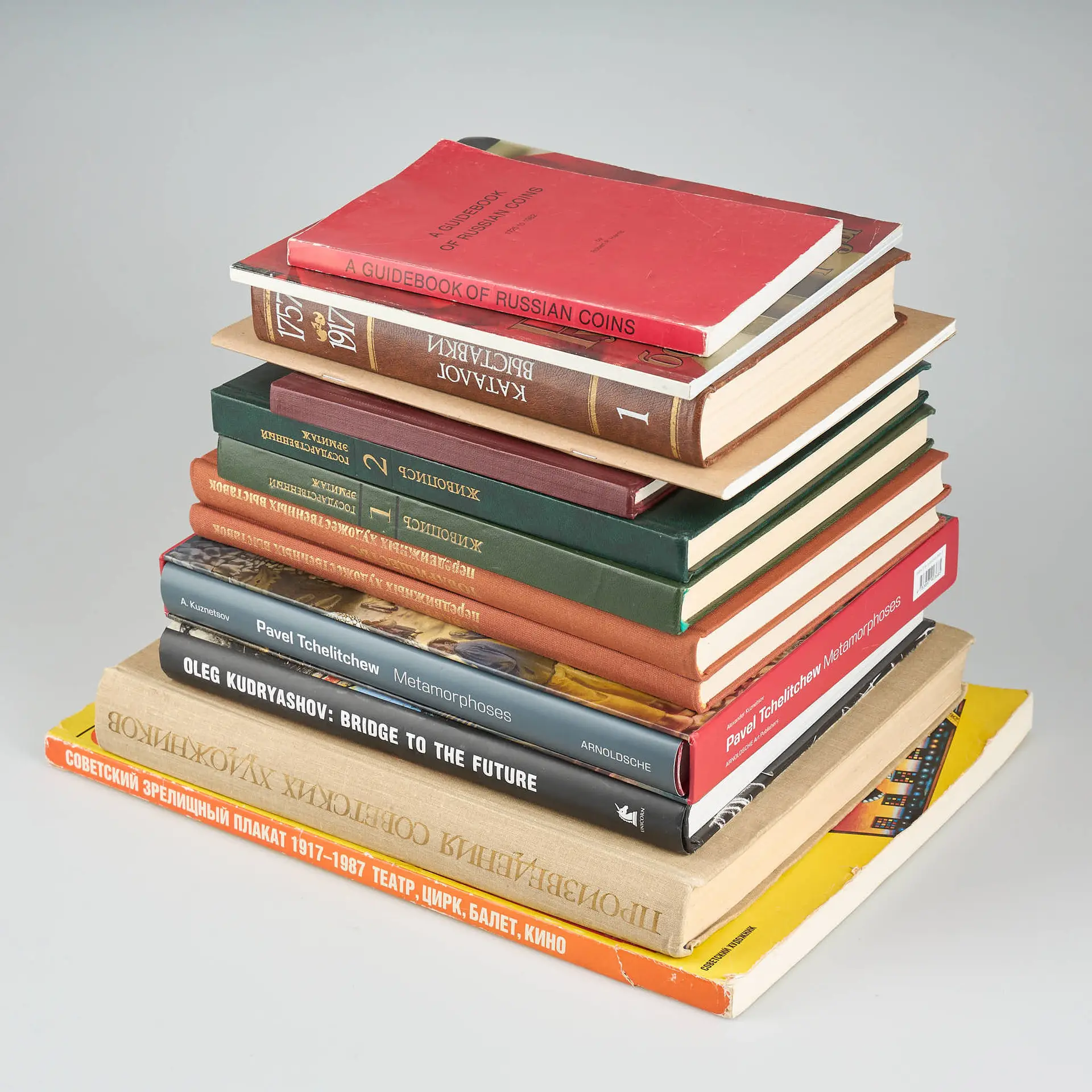
BÖCKER, 13 st, rysk/sovjetisk facklitteratur.
10/21/2026
€30
Stima: €150
Porta la tua asta ai collezionisti di tutto il mondo!
Pubblica oraIscrivendoti, accetti la politica sulla privacy. Annulla l'iscrizione in qualsiasi momento.
Barnebys HQ
Brahegatan 10
BOX 5038
114 37 Stockholm
