








Tutte le aste / Libri, Mappe & Manoscritti / Europe - Europe; L

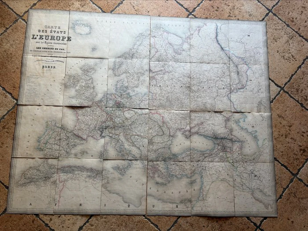
The letter illustrates the development of railway lines and maritime navigation routes in Europe during the 19th century, offering a precious snapshot of transport and political borders of the era. The outer cover is a bit worn and measures 26.5 cm in length and 22.5 cm in width. The maps measure 25 cm in height and 67.5 cm in width (unit measurement). The back is linen- or cotton-backed and features classic foxing, stains and patina consistent with an object from the second half of the 19th century.
Stima:€150
Vai all’astaVedi tutti gli oggetti diCatawikioLibri, Mappe & Manoscritti
Stima:
€150
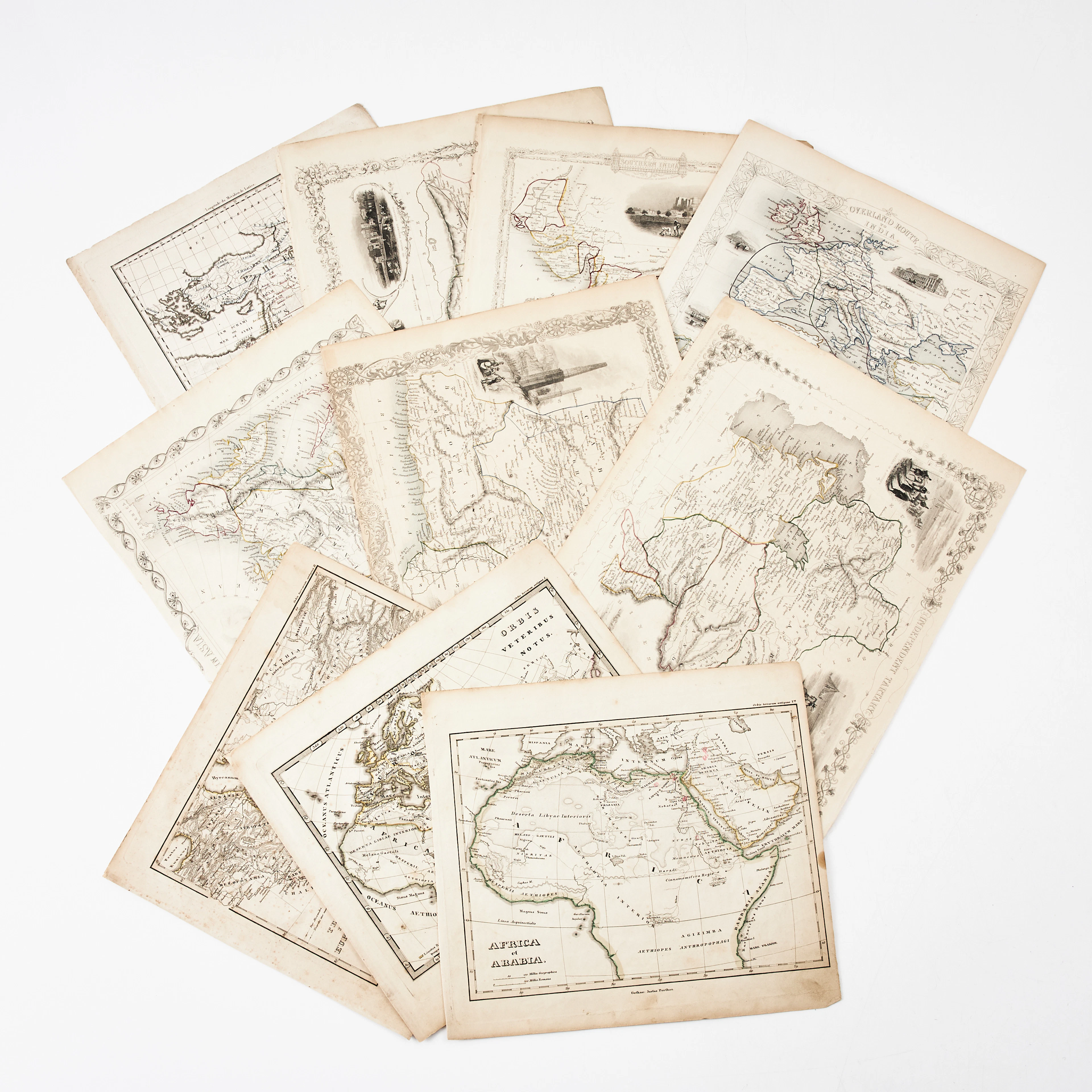
KARTOR 10 ST, bl.a. INDIEN, AFRIKA m.fl., 1800-tal.
10/18/2026
€26.96
Stima: €134.66

BD Barbe-Rouge - Le Roi des Sept Mers - Réédition Dargaud 19 - Lot 72
10/18/2026

€5
Stima: €15

Redbeard Comic Book - The Young Captain - Dargaud Reprint, 1 - Lot 73
10/18/2026
€5
Stima: €15
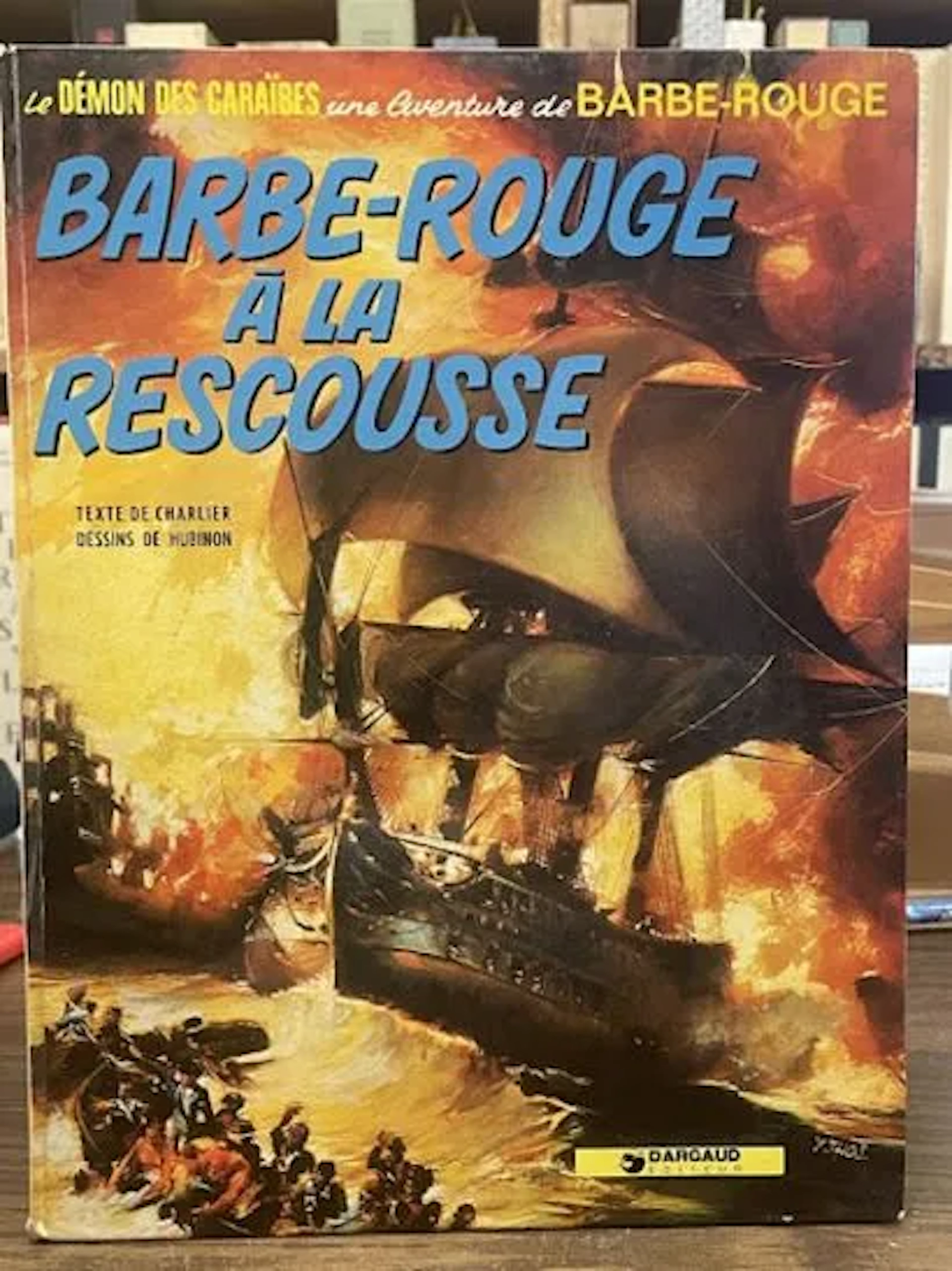
Redbeard Comic Book - Redbeard to the Rescue - Dargaud Repri - Lot 79
10/18/2026
€3
Stima: €15
Porta la tua asta ai collezionisti di tutto il mondo!
Pubblica oraIscrivendoti, accetti la politica sulla privacy. Annulla l'iscrizione in qualsiasi momento.
Barnebys HQ
Brahegatan 10
BOX 5038
114 37 Stockholm
