








Tutte le aste / Libri, Mappe & Manoscritti / Europe - Balkans

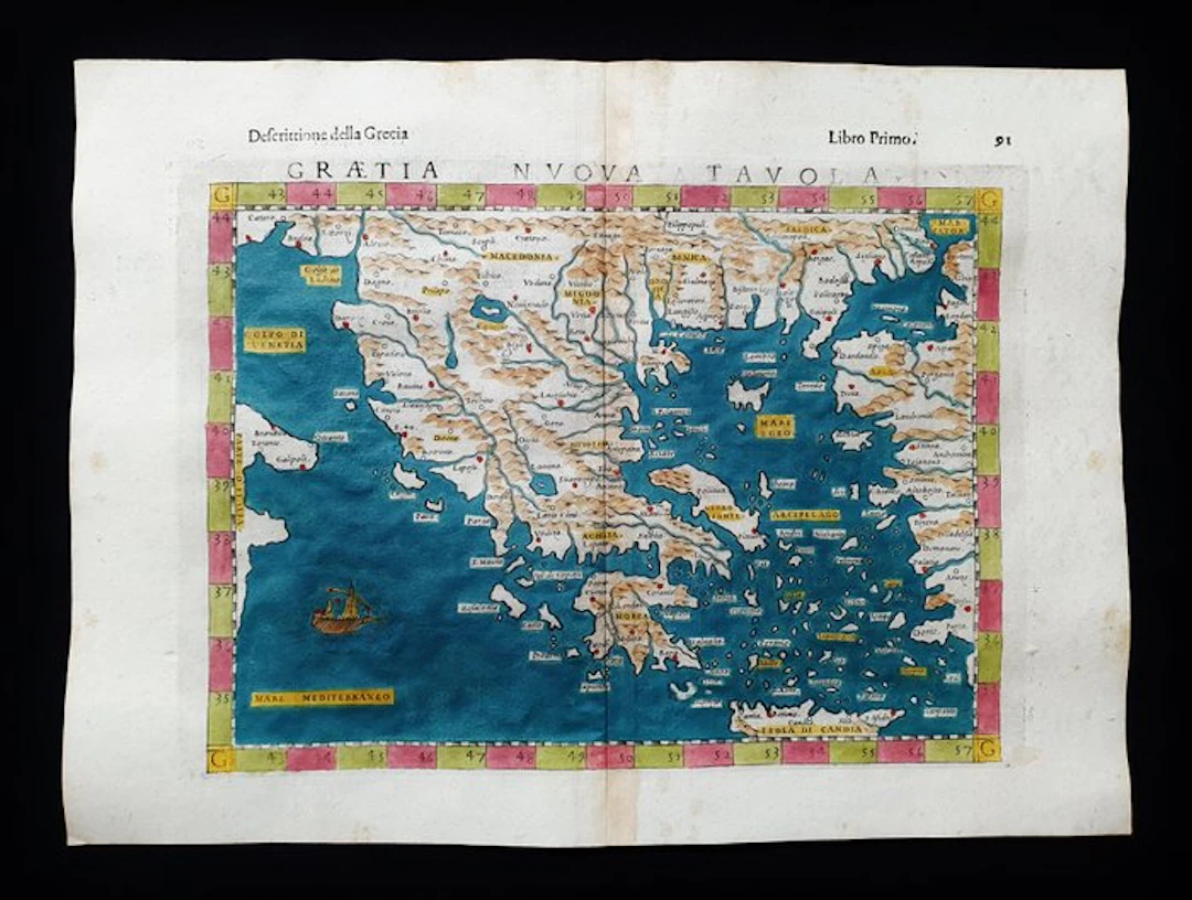
- This Geographical Map is an original copper engraving from 1599 (16th century...). - This is the rare Tolomea edition of MAGINI, ROSACCIO & SESSA, published in 1599 in their very rare and fantastic work that bears the name: "The Geography of Claudius Ptolemy the Alexandrian, Translated from Greek into the Italian vernacular language, by Girolamo Ruscelli, and now newly enlarged by Gioseffo Rosaccio....." - Beautiful map printed in Venice, with large margins, excellent aquarellatura, and very well detailed in every point. - Condition: the conditions are very good as shown in the photo, especially considering its age. - The overall measurements of the map are: 34 cm x 25 cm
Stima:€200
Vai all’astaVedi tutti gli oggetti diCatawikioLibri, Mappe & Manoscritti
Stima:
€200
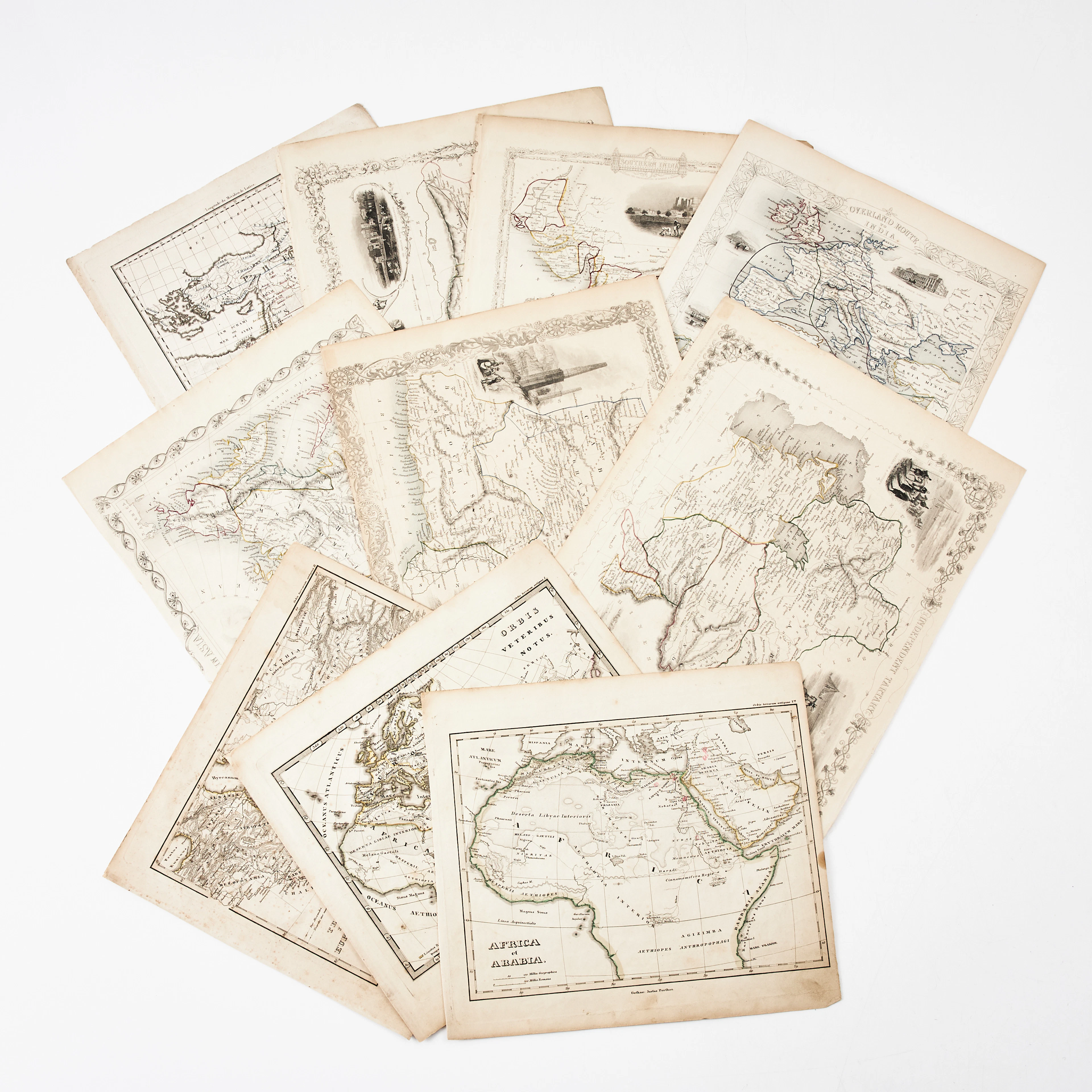
KARTOR 10 ST, bl.a. INDIEN, AFRIKA m.fl., 1800-tal.
10/18/2026
€26.96
Stima: €134.66
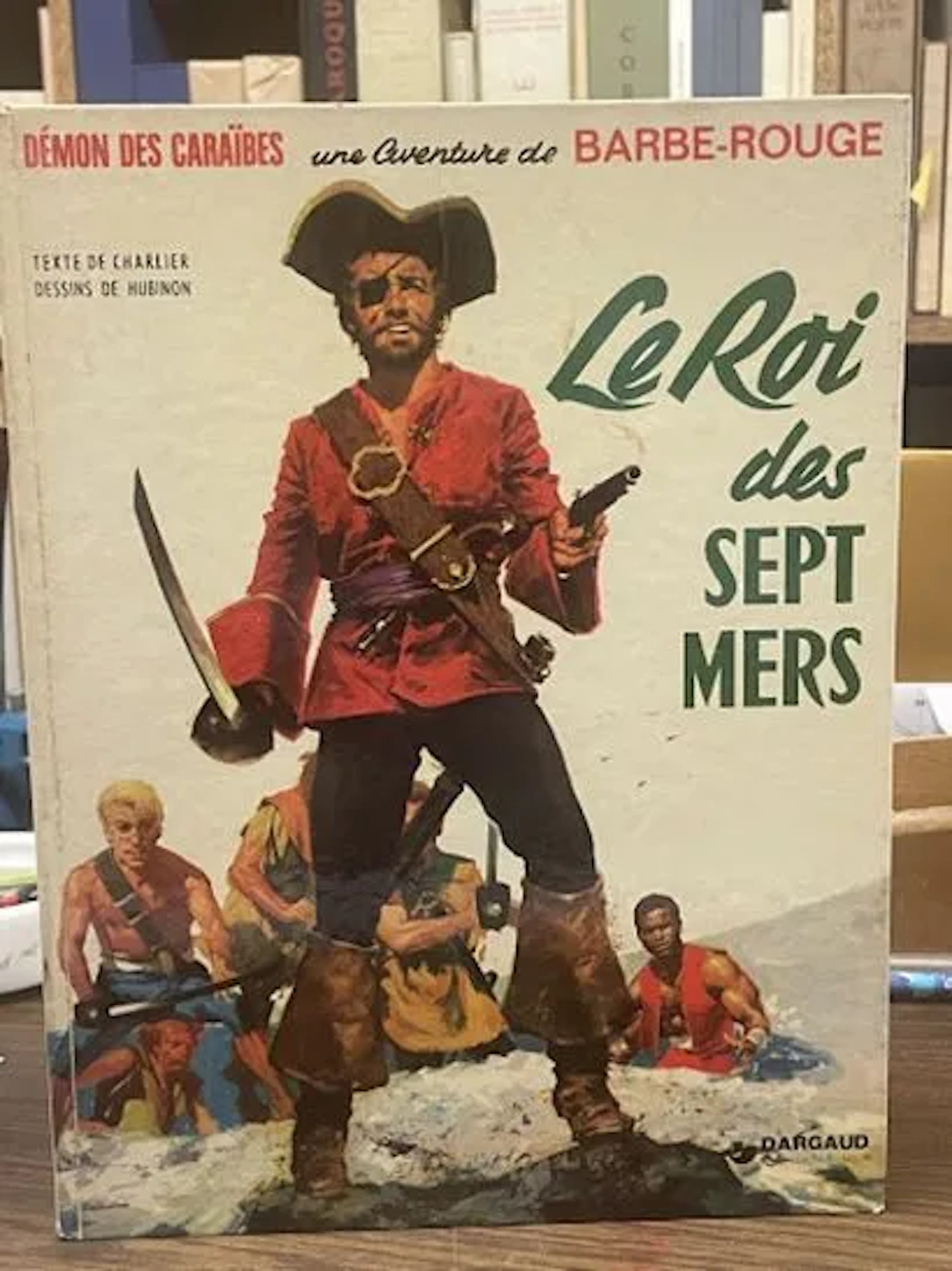
BD Barbe-Rouge - Le Roi des Sept Mers - Réédition Dargaud 19 - Lot 72
10/18/2026
€5
Stima: €15
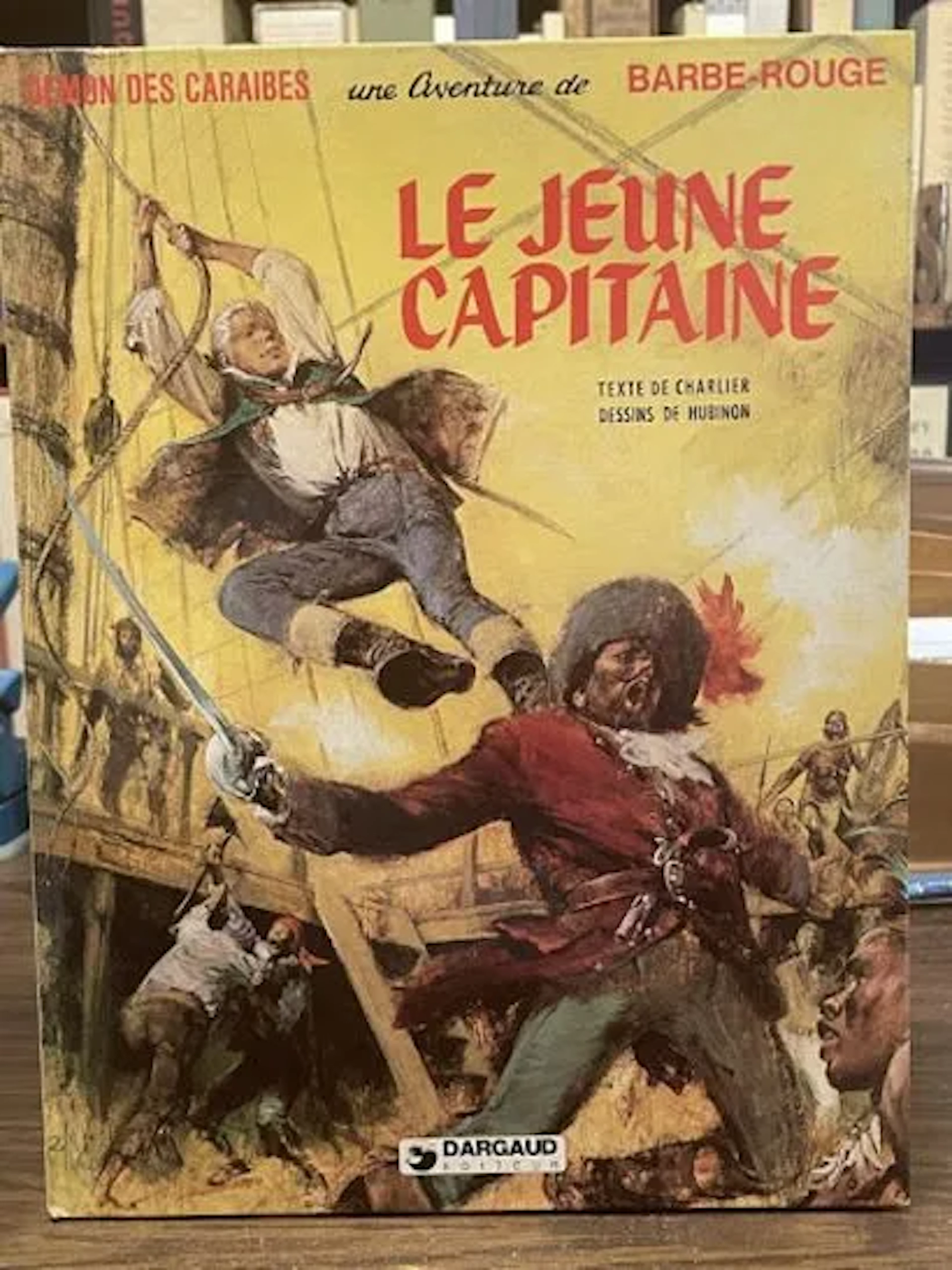
Redbeard Comic Book - The Young Captain - Dargaud Reprint, 1 - Lot 73
10/18/2026
€5
Stima: €15
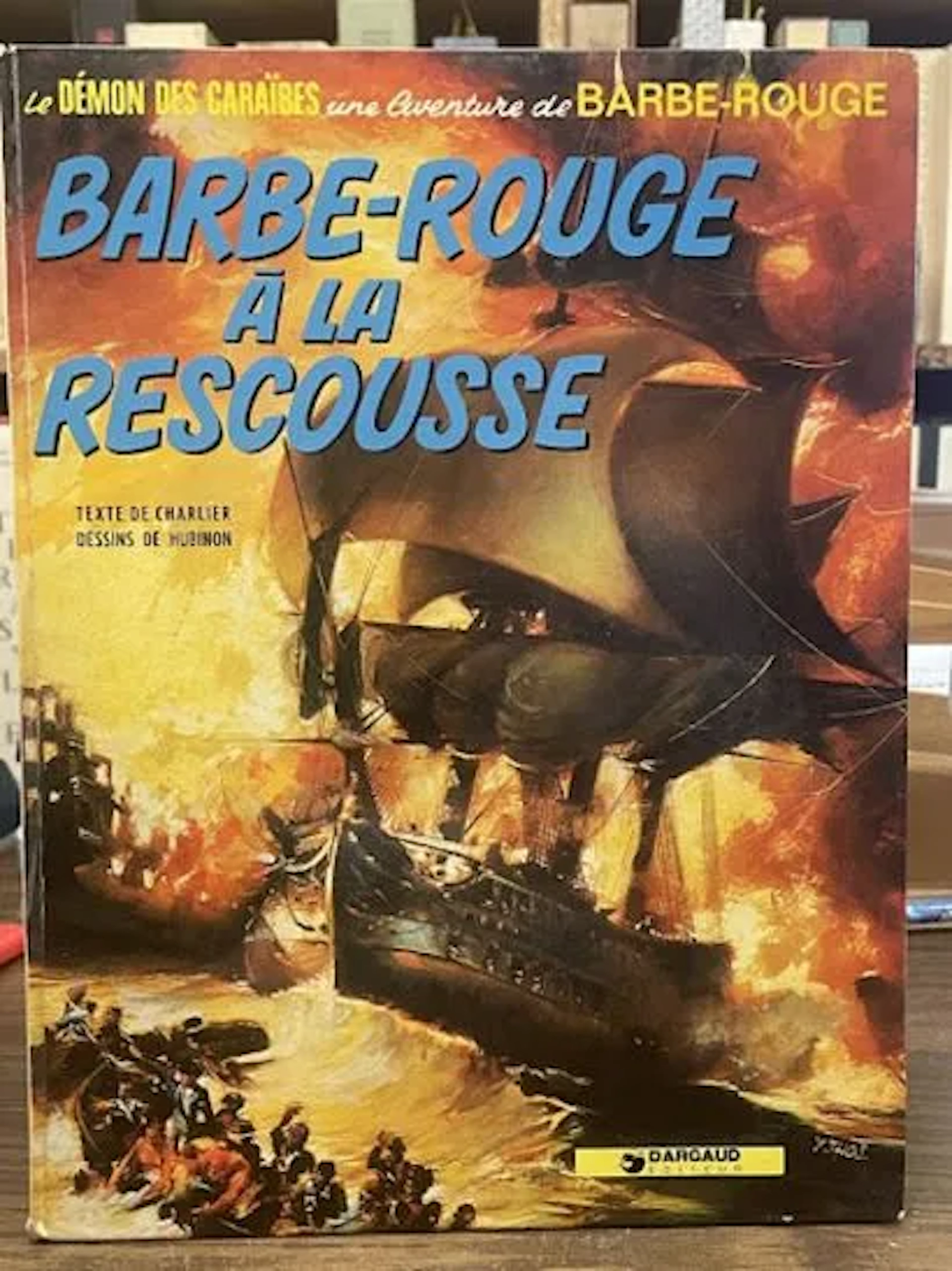
Redbeard Comic Book - Redbeard to the Rescue - Dargaud Repri - Lot 79
10/18/2026
€3
Stima: €15
Porta la tua asta ai collezionisti di tutto il mondo!
Pubblica oraIscrivendoti, accetti la politica sulla privacy. Annulla l'iscrizione in qualsiasi momento.
Barnebys HQ
Brahegatan 10
BOX 5038
114 37 Stockholm
