Erven Thierry en Mensing 's Gravenhage - Historisch - Geographische
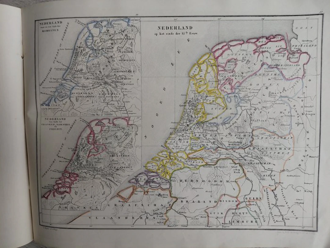
Historical-Geographical Atlas of General and National History – 40 maps – original hand-colouring – Third edition – c. 1865 Description Historical-Geographical Atlas of General and National History Third edition. The Hague, De Erven Thierry en Mensing, c. 1865. A very attractive and complete 19th-century Dutch historical atlas, containing 40 numbered historical maps, several incorporating additional inset maps. The atlas presents the development of countries, empires and political boundaries from Antiquity through the early 19th century. Particularly interesting is the extensive section devoted to the history of the Netherlands. Among the maps are: The Persian Empire under Cyrus and Ancient Egypt Palestine and the Holy Land Greece and the Greek colonies The Roman Empire Europe during the Migration Period Europe around 511 Europe under Charlemagne The Crusades Medieval and Early Modern Europe France, Germany and Italy in various historical periods The Netherlands under the Romans The Netherlands under the Franks, Saxons and Frisians The Netherlands at the end of the 13th century The Netherlands in 1530 The Dutch Republic in 1648 The Batavian Republic in 1798 The Kingdom of Holland, 1806 The Kingdom of the Netherlands and Grand Duchy of Luxembourg, 1815 Former Dutch possessions overseas The maps are finely engraved/lithographed and many are enhanced with attractive contemporary outline colouring, clearly showing historical borders and territories. Several sheets contain multiple maps or inset maps, making the actual number of individual cartographic representations considerably higher than 40. Complete with all 40 numbered maps as listed in the contents. Large oblong folio format. Original decorative title wrapper preserved. The maps themselves are generally clean and fresh, with strong impressions and bright colouring. Some age-related wear, occasional spotting/toning and signs of use, particularly to the covers and margins. Contemporary/early ownership inscription and later pencil annotations on the contents page. Please examine the photographs carefully for the condition. A decorative and increasingly uncommon complete Dutch historical atlas, particularly appealing for its extensive series of maps showing the territorial development of the Netherlands.
Stima:€65
Vai all’astaVedi tutti gli oggetti diCatawikioLibri, Mappe & Manoscritti