Porta la tua asta ai collezionisti di tutto il mondo!
Pubblica ora
Porta la tua asta ai collezionisti di tutto il mondo!
Pubblica ora

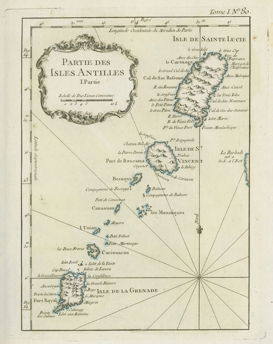
Tutte le aste / Libri, Mappe & Manoscritti / Early Maps 18th century "partie des isles antilles" French map, partly

Early Maps 18th century "partie des isles antilles" French map, partly coloured, showing Grenada, St. Lucia and St. Vincent and Grenadines; 1805 (24 June) coloured map of the West Indies punlished by the Rev. E. Patterson of Richmond, Surrey; and 1806 (30 June) map of St. Lucia published by J. Gold of London; fine Subject to 20% VAT on Buyer’s Premium. For more information please view Terms and Conditions for Buyers.
Stima:€174.83
Vai all’astaVedi tutti gli oggetti diSpink AuctionsoLibri, Mappe & Manoscritti
Stima:
€174.83
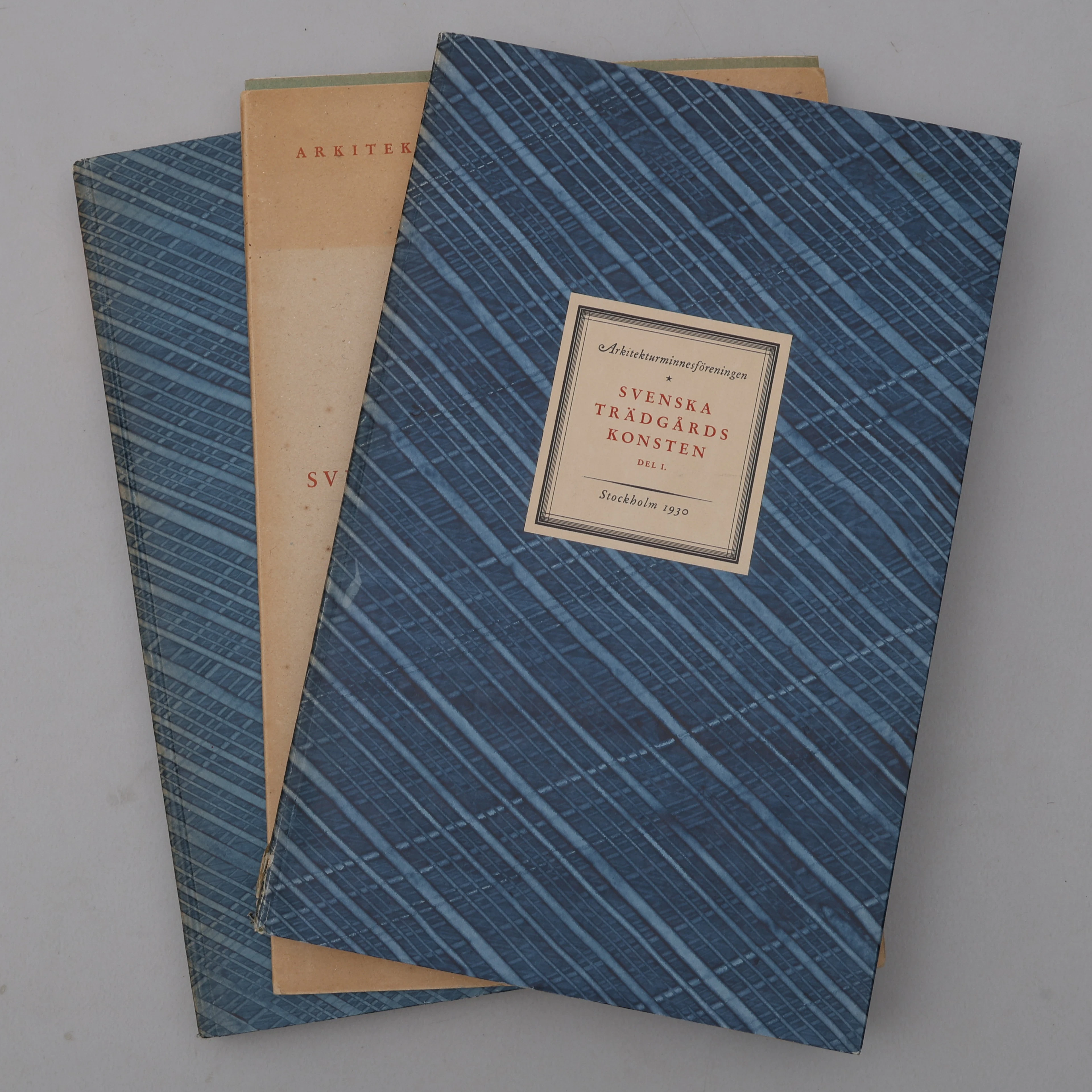
BIBLIOFILI/TRÄDGÅRD. SVENSKA TRÄDGÅRDSKONSTEN SÅDAN DEN TILL VÅRA
10/07/2026
€98.39
Stima: €266.61
Porta la tua asta ai collezionisti di tutto il mondo!
Pubblica ora€300
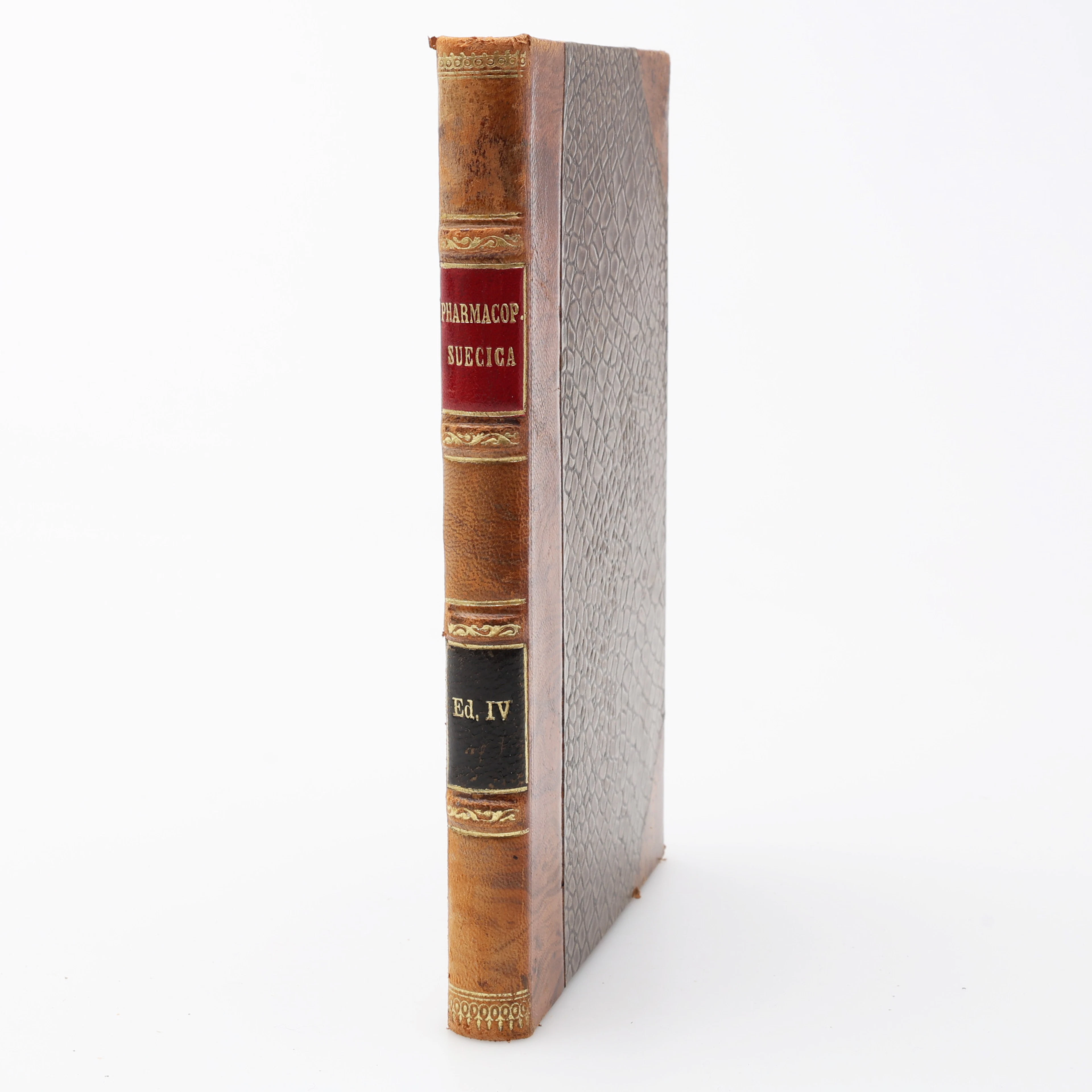
FARMAKOLOGI. PHARMAKOPOEA SVECICA EDITIO QUARTA EMENDATA/FJÄRDE RÄTTADE
10/07/2026
€68.96
Stima: €44.1
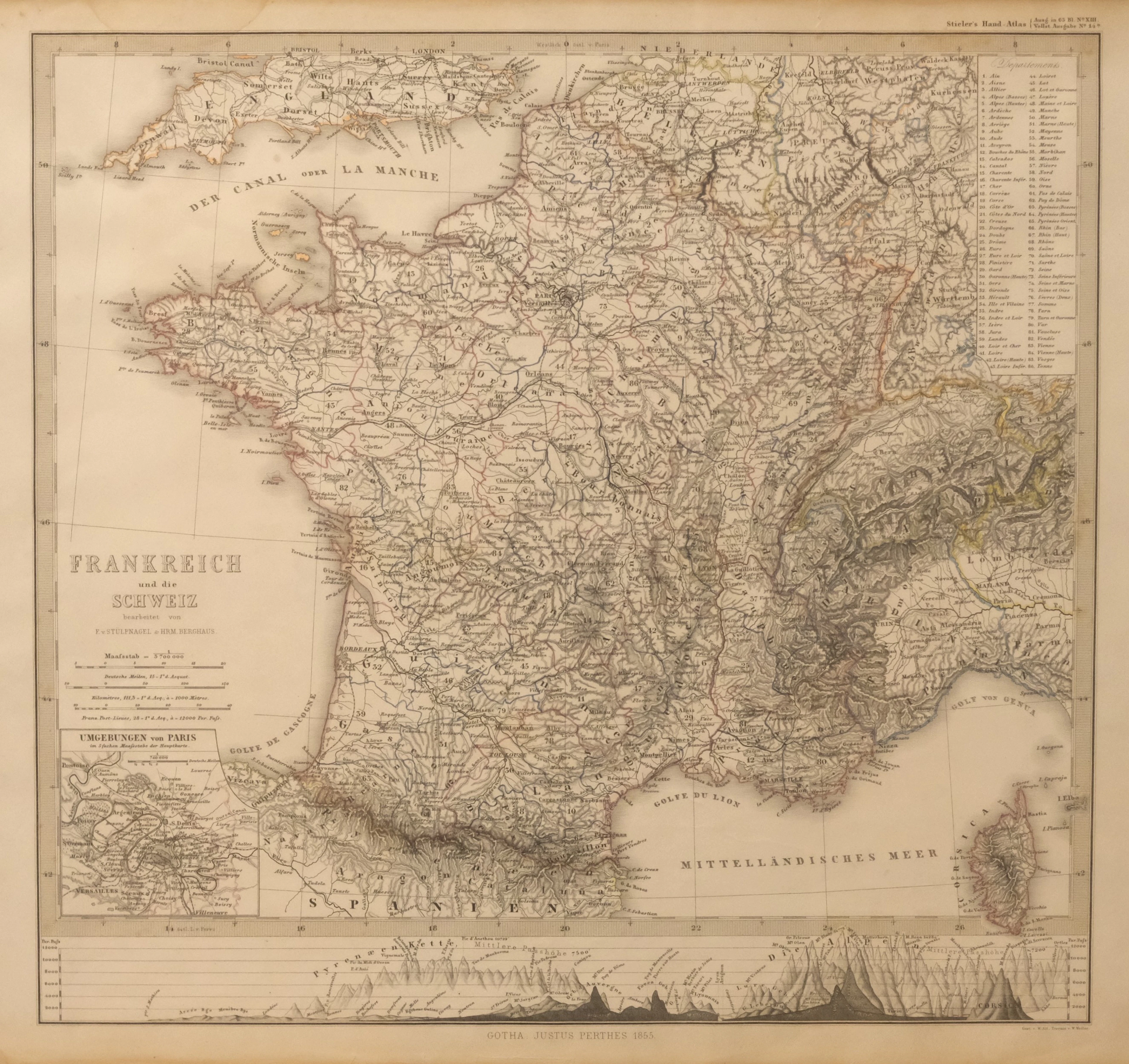
KARTA ÖVER FRANKRIKE OCH SCHWEIZ. UR STIELER'S HAND-ATLAS, 1855.
10/07/2026

€35.77
Stima: €44.43
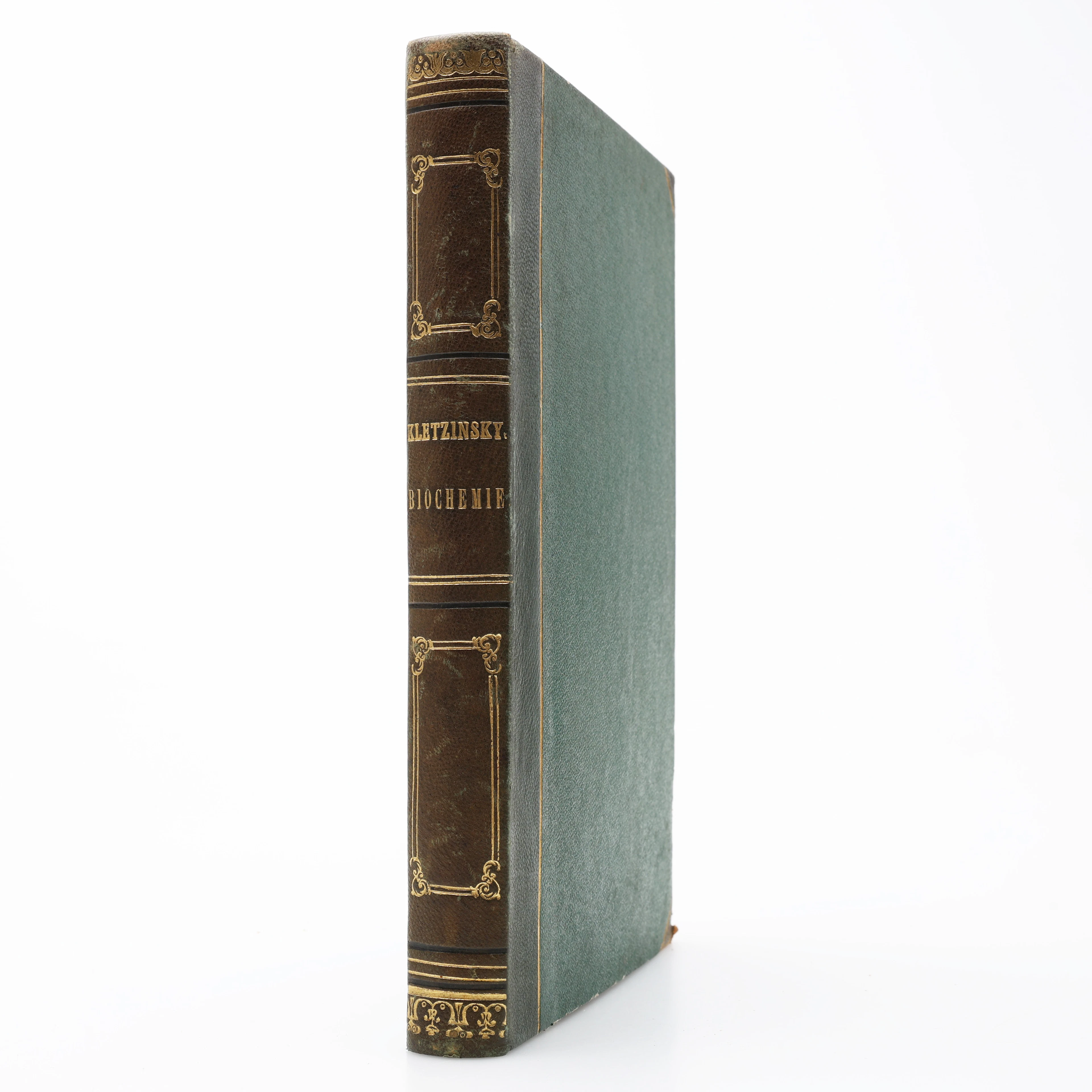
KBIOKEMI. VINCENZ KLETZINSKY'S COMPENDIUM DER BIOCHEMIE 1858 - DEN
10/07/2026
€125.22
Stima: €176.4