
Tutte le aste / Libri, Mappe & Manoscritti / Antique Map of Wales, Belgian, Framed Atlas Excerpt, Elizabethan
Antique Map of Wales, Belgian, Framed Atlas Excerpt, Elizabethan
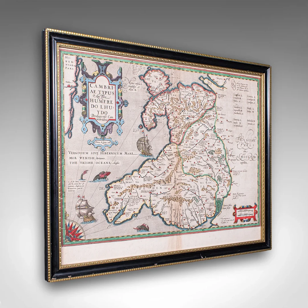
This is an antique map of Wales. A Belgian, framed atlas excerpt with dual sided mount, this example from the Theatrum Orbis Terrarum published in 1592 during the late Elizabethan period. Full title: , translating into English as 'A Map of Wales, by the author Humphrey Llwyd of Denbigh, a Welsh Briton' This antique map of Wales is a truly excellent, exciting publication within the history of European cartography, offering an example of the very first published map of Wales as its own region, presented here as a culturally rich, high quality piece within a celebrated atlas. A treat for collectors and Welsh natives alike. Delivered ready to display. Max Width: 55cm (21.75'')Max Depth: 2cm (.75'')Max Height: 43.5cm (17.25'') Map Width: 49.5cm (19.5'')Map Height: 38.5cm (15.25'')
Stima:€941.03
Vai all’astaVedi tutti gli oggetti diLondon Fine AntiquesoLibri, Mappe & Manoscritti
Stima:
€941.03
Oggetti simili





Risultati d’asta per oggetti simili
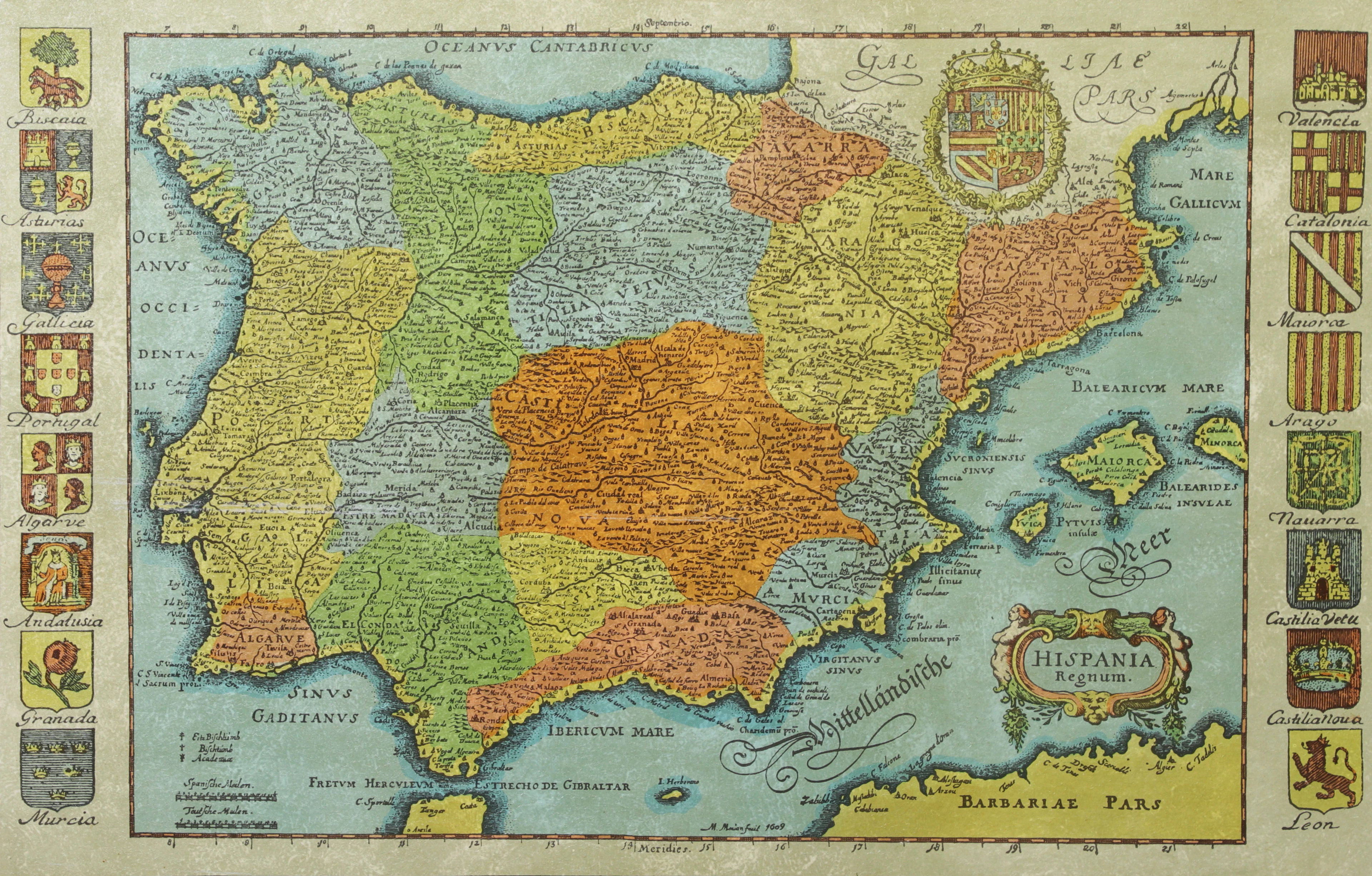
KARTA, Spanien, inramad, 1900-talets andra hälft.
10/14/2026
€26.88
Stima: €44.79
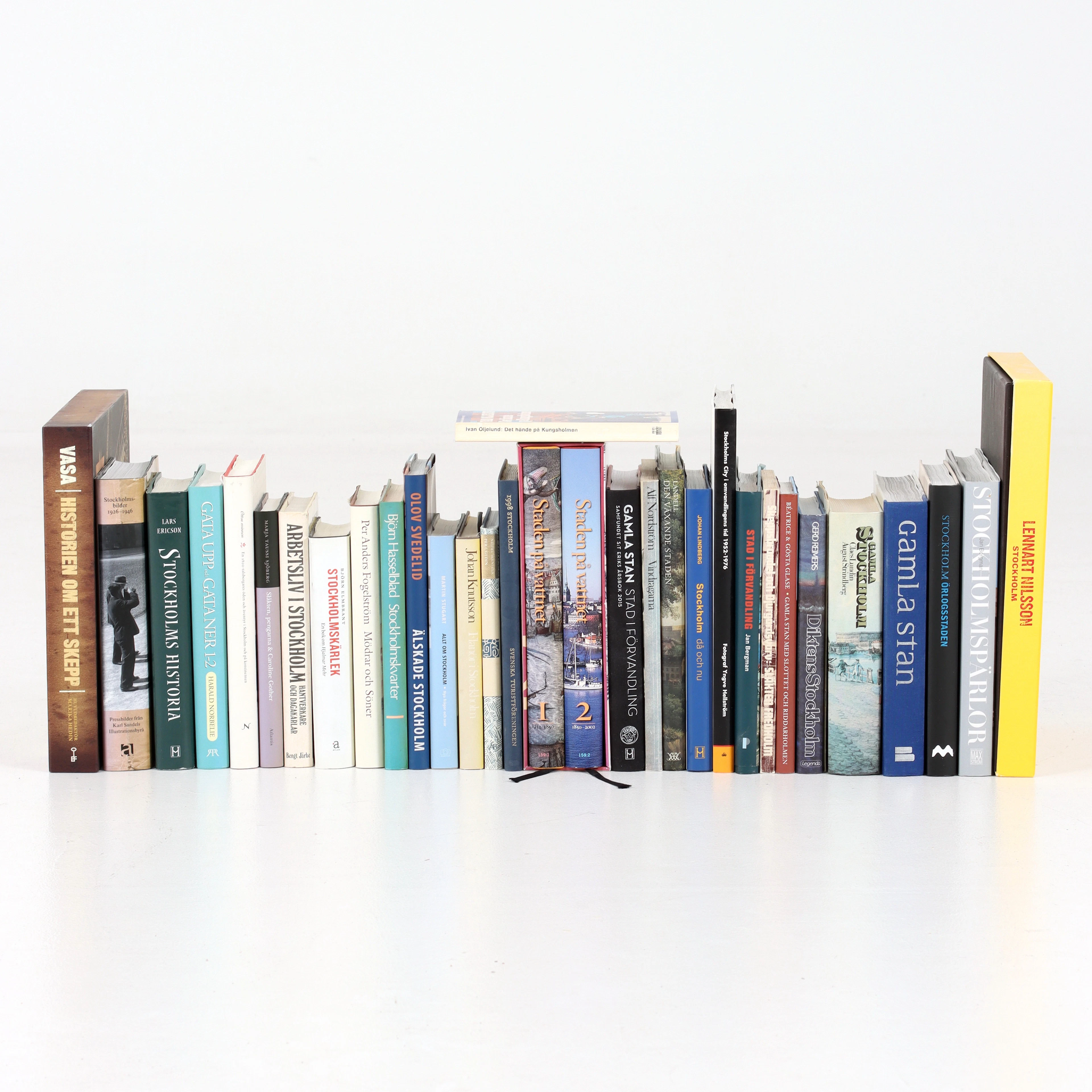
BÖCKER om STOCKHOLM, 31 st, 1900-talets senare del.
10/14/2026
€47.04
Stima: €53.74
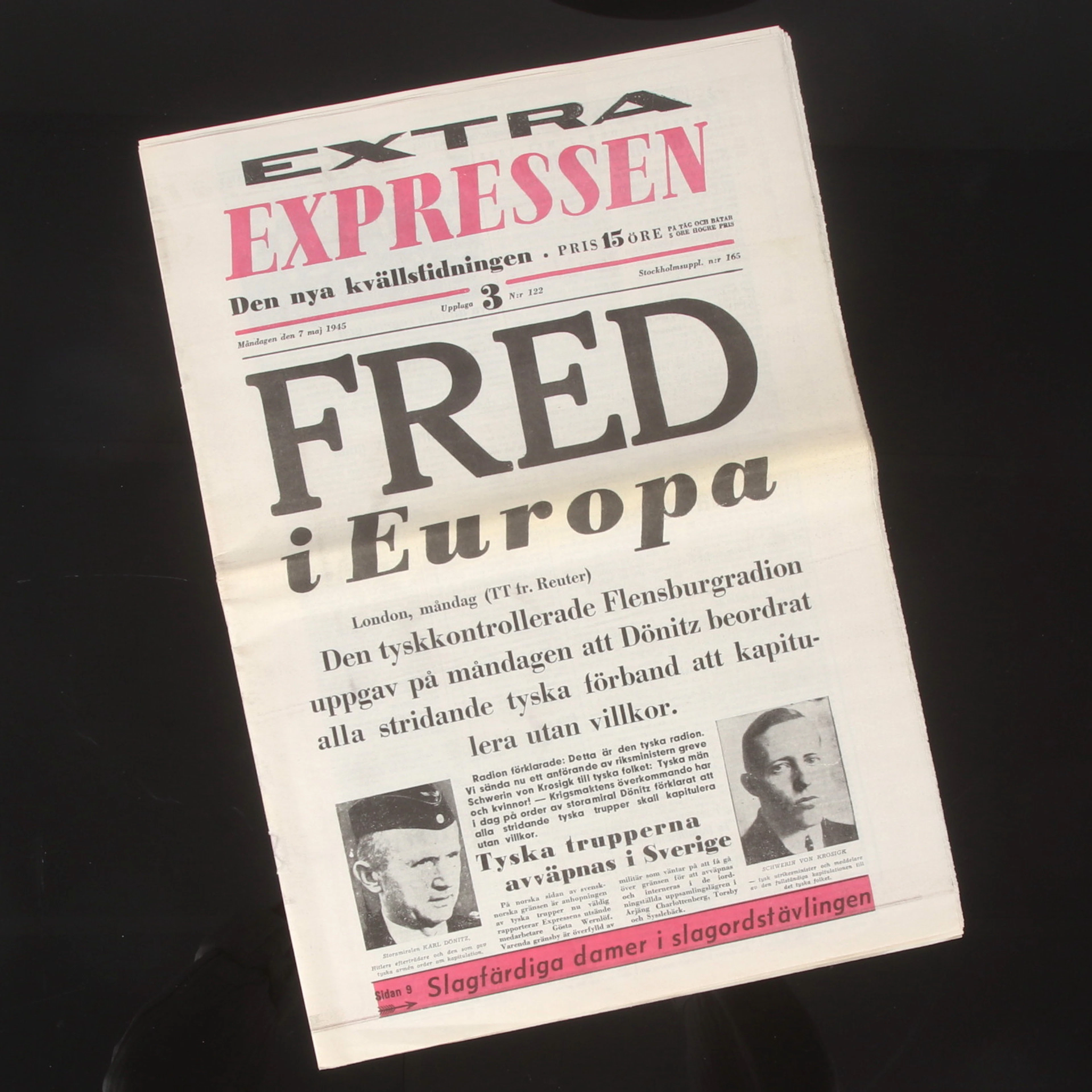
TIDNING, Expressen, "Fred i Europa", 7 maj 1945.
10/14/2026
€58.24
Stima: €44.79
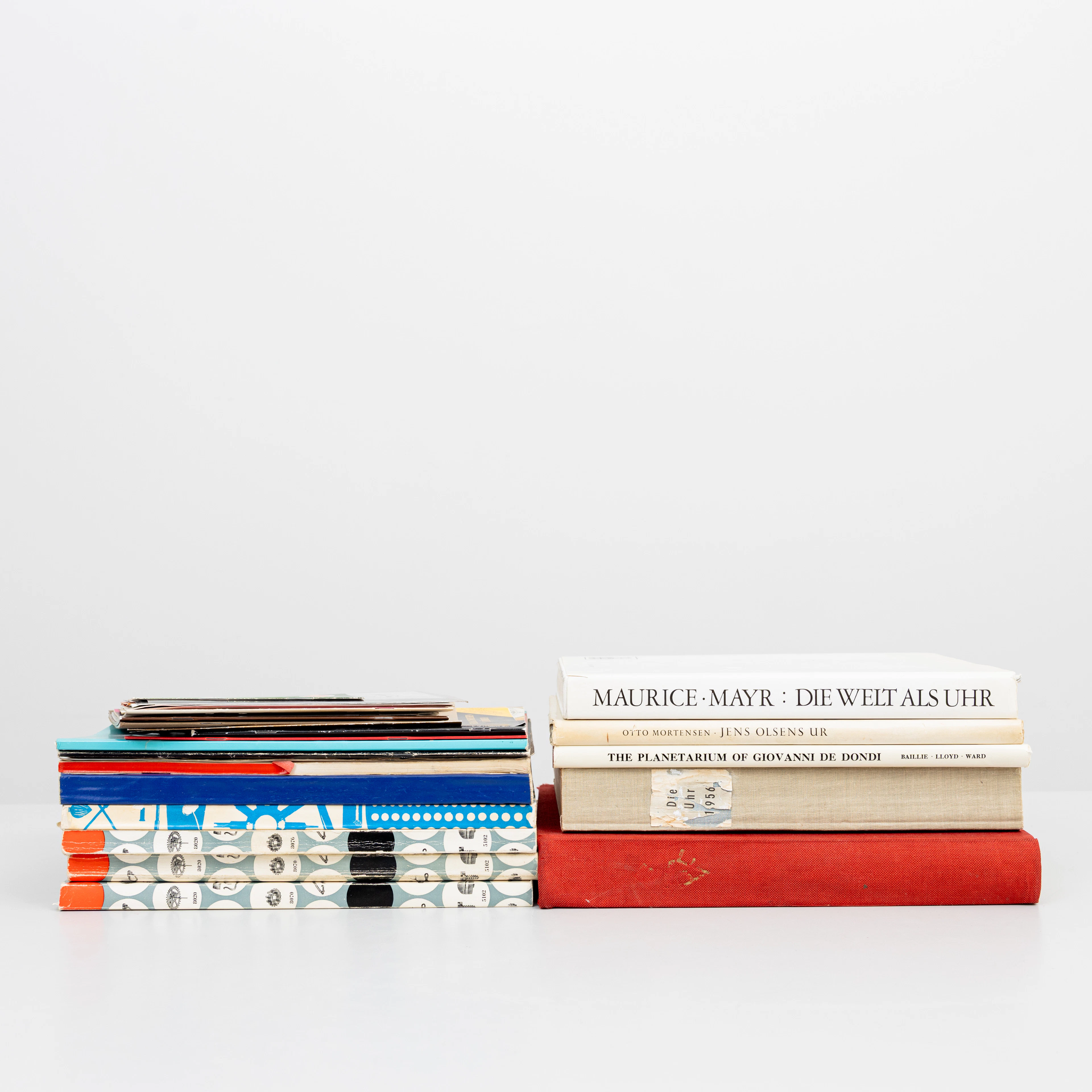
LITTERATUR, tema urmakeri och klockor, 1900-tal.
10/14/2026
€98.56
Stima: €134.37
Porta la tua asta ai collezionisti di tutto il mondo!
Pubblica ora