







Tutte le aste / Libri, Mappe & Manoscritti / Antique Map of Ireland, French, Framed Cartography, Eire, Georgian, Circa 1780
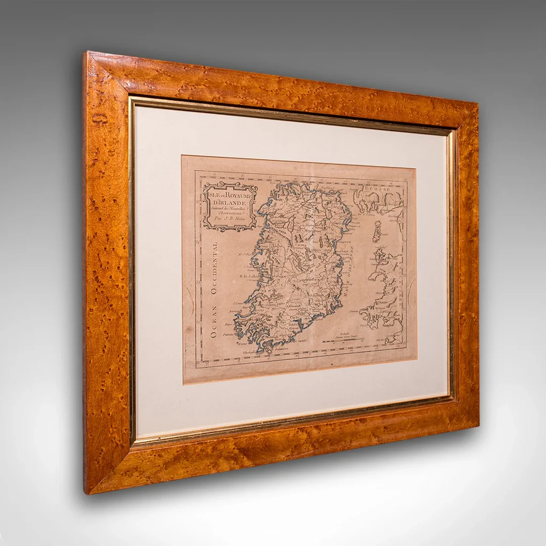
This is an antique map of Ireland. A French, maple framed cartography engraving by Jean-Baptiste Nolin, this posthumous atlas edition dating to the Georgian period, circa 1780. Full Title: This is a fascinating late 18th century Ireland map, a delightful atlas engraving published by the cartographer's son. Perfect for collectors of antique maps and national history. Delivered ready to display. Max Width: 47.5cm (18.75'')Max Depth: 2cm (.75'')Max Height: 42.5cm (16.75'') Map Width: 28.5cm (11.25'')Map Height: 23.5cm (9.25'')
Stima:€1,059.4
Vai all’astaVedi tutti gli oggetti diLondon Fine AntiquesoLibri, Mappe & Manoscritti
Stima:
€1,059.4
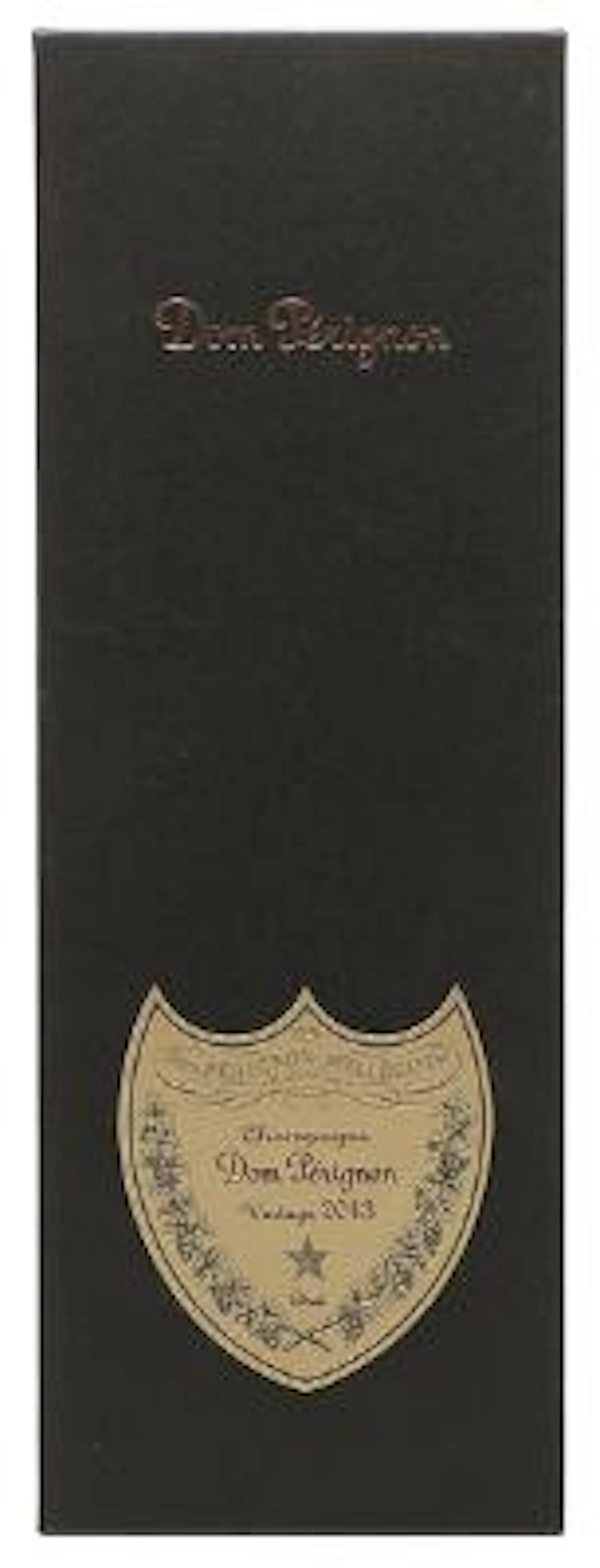
1 bt. Champagne Dom Pérignon, Moët et Chandon 2013 A (hf/in). Oc.
10/15/2026

€160.51
Stima: €187.18

1 bt. Champagne "Cristal", Louis Roederer 2016 A (hf/in). Oc. – Bruun
10/15/2026
€187.26
Stima: €187.18
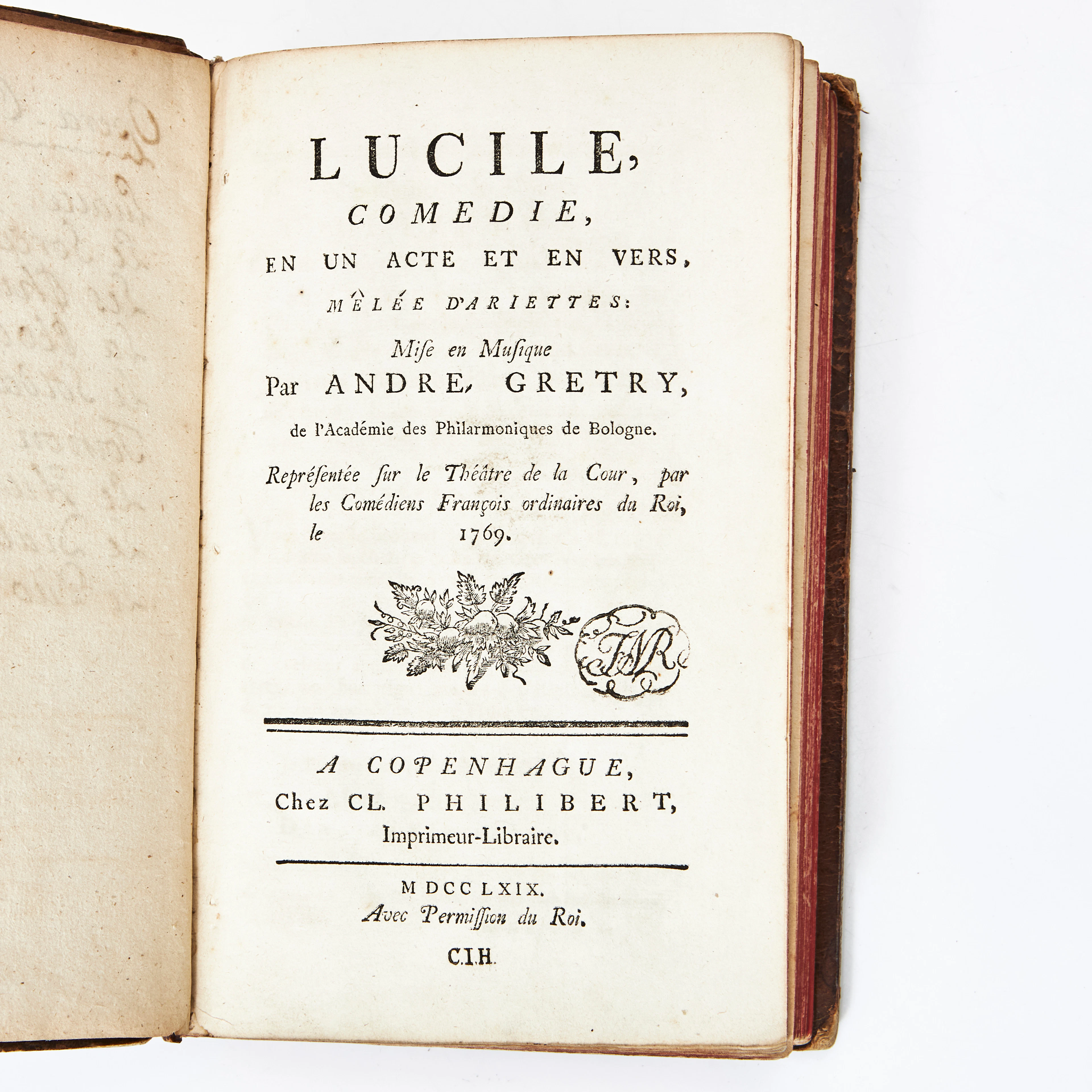
COLLECTION OF 9 PLAYS IN FRENCH 1766-69.
10/14/2026
€31.36
Stima: €134.37
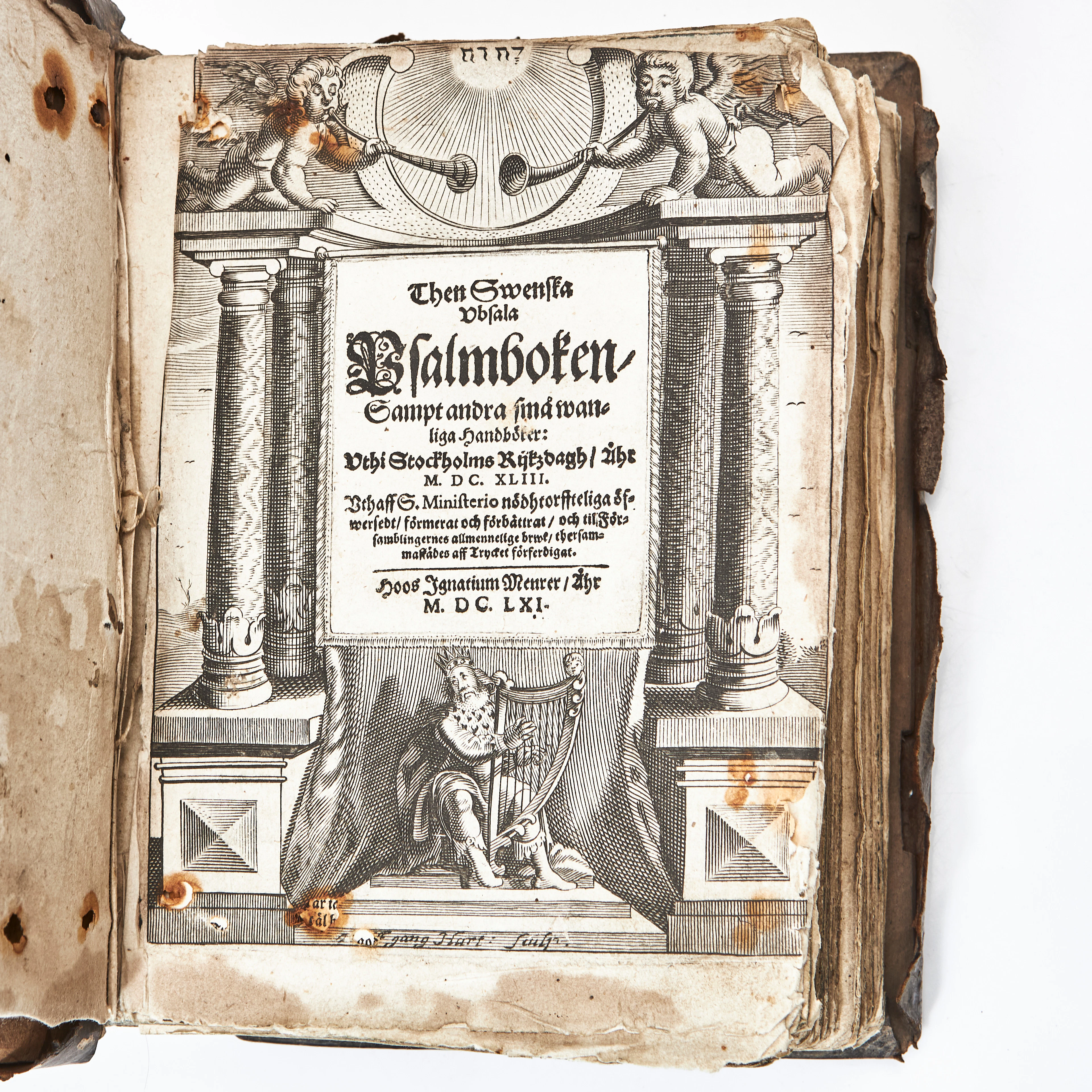
THEN SWENSKA UBSALA PSALMBOKEN 1661 MED FLERA. 3 vol.
10/14/2026
€1,305.42
Stima: €268.74
Porta la tua asta ai collezionisti di tutto il mondo!
Pubblica oraIscrivendoti, accetti la politica sulla privacy. Annulla l'iscrizione in qualsiasi momento.
Barnebys HQ
Brahegatan 10
BOX 5038
114 37 Stockholm
