



Tutte le aste / Libri, Mappe & Manoscritti / Antique Map of Bohemia, Dutch, Framed Cartography, Johannes Janssonius, C.1630
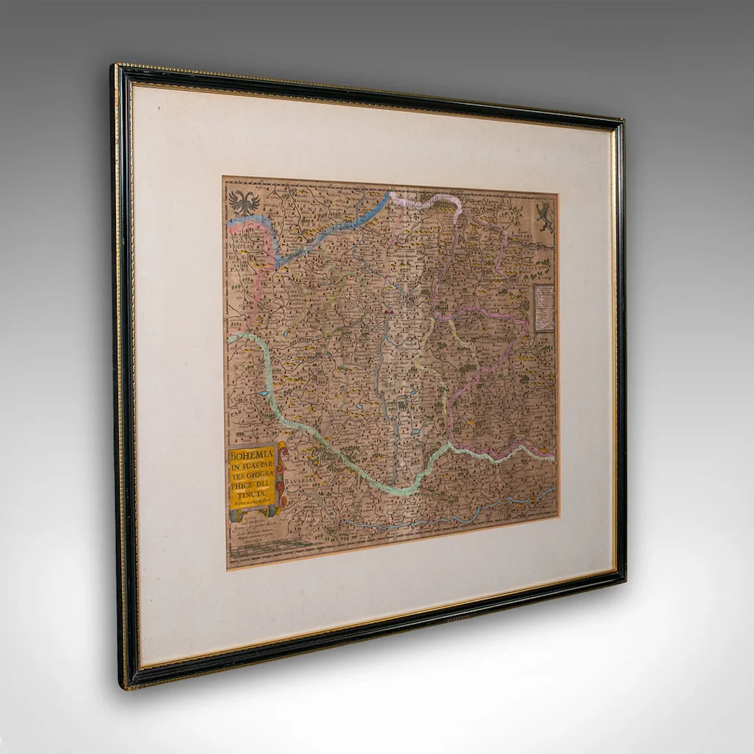
This is an antique map of Bohemia. A Dutch, framed atlas engraving of modern day Germany, Austria and the Czech Republic by Johannes Janssonius, dating to the 17th century and later, circa 1630. Full Title - This is a charming antique map of Bohemia, with appealing cartographic interest. Ideal for collectors of historic European interest. Delivered ready to display. Max Width: 70cm (27.5'')Max Depth: 3cm (1.25'')Max Height: 61.5cm (24.25'') Map Width: 46.5cm (18.25'')Map Height: 40.5cm (16'')
Stima:€1,059.4
Vai all’astaVedi tutti gli oggetti diLondon Fine AntiquesoLibri, Mappe & Manoscritti
Stima:
€1,059.4
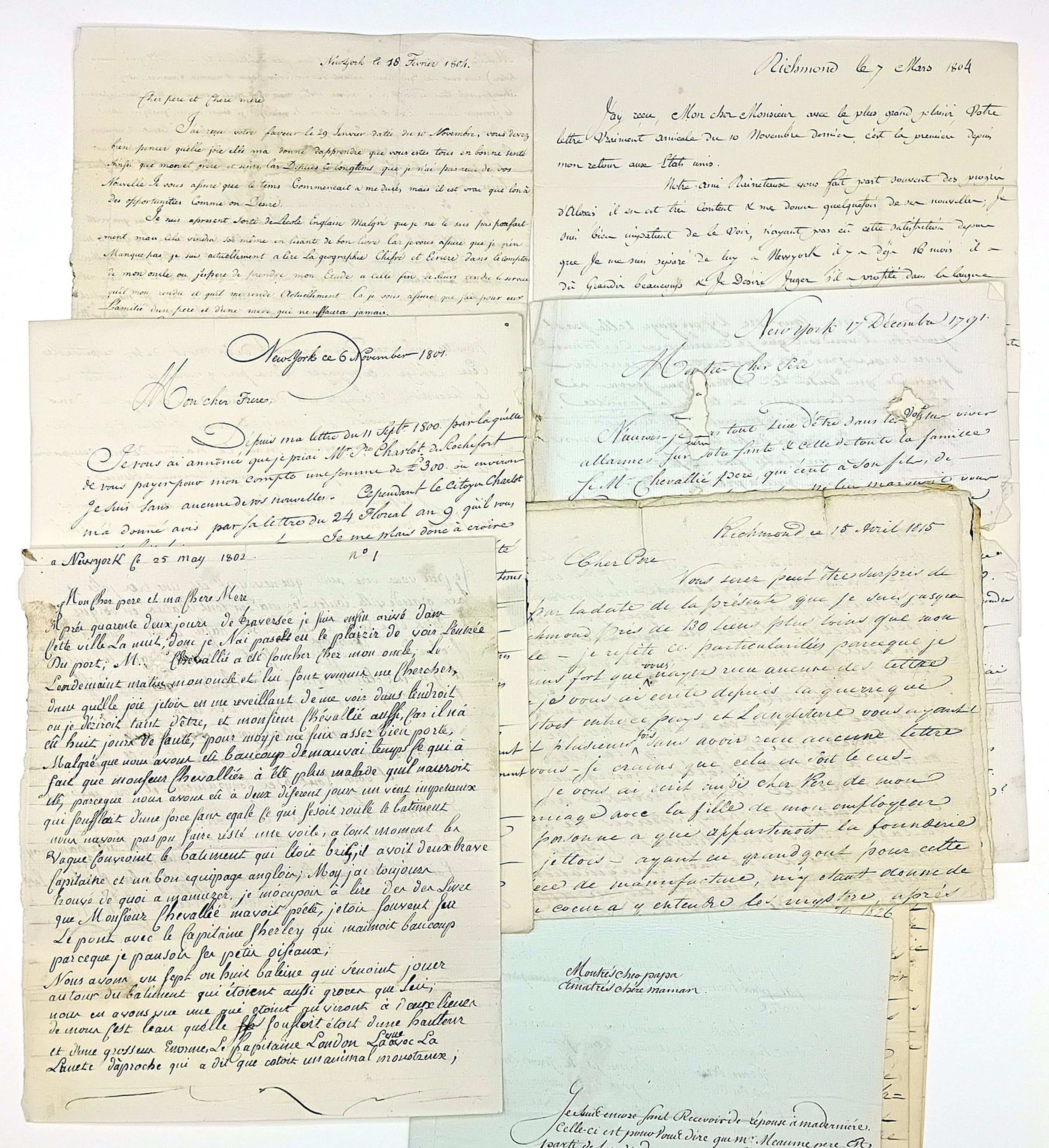
UNITED STATES OF AMERICA. Letters from America by Paul Alexi - Lot 207
10/20/2026

€200
Stima: €200
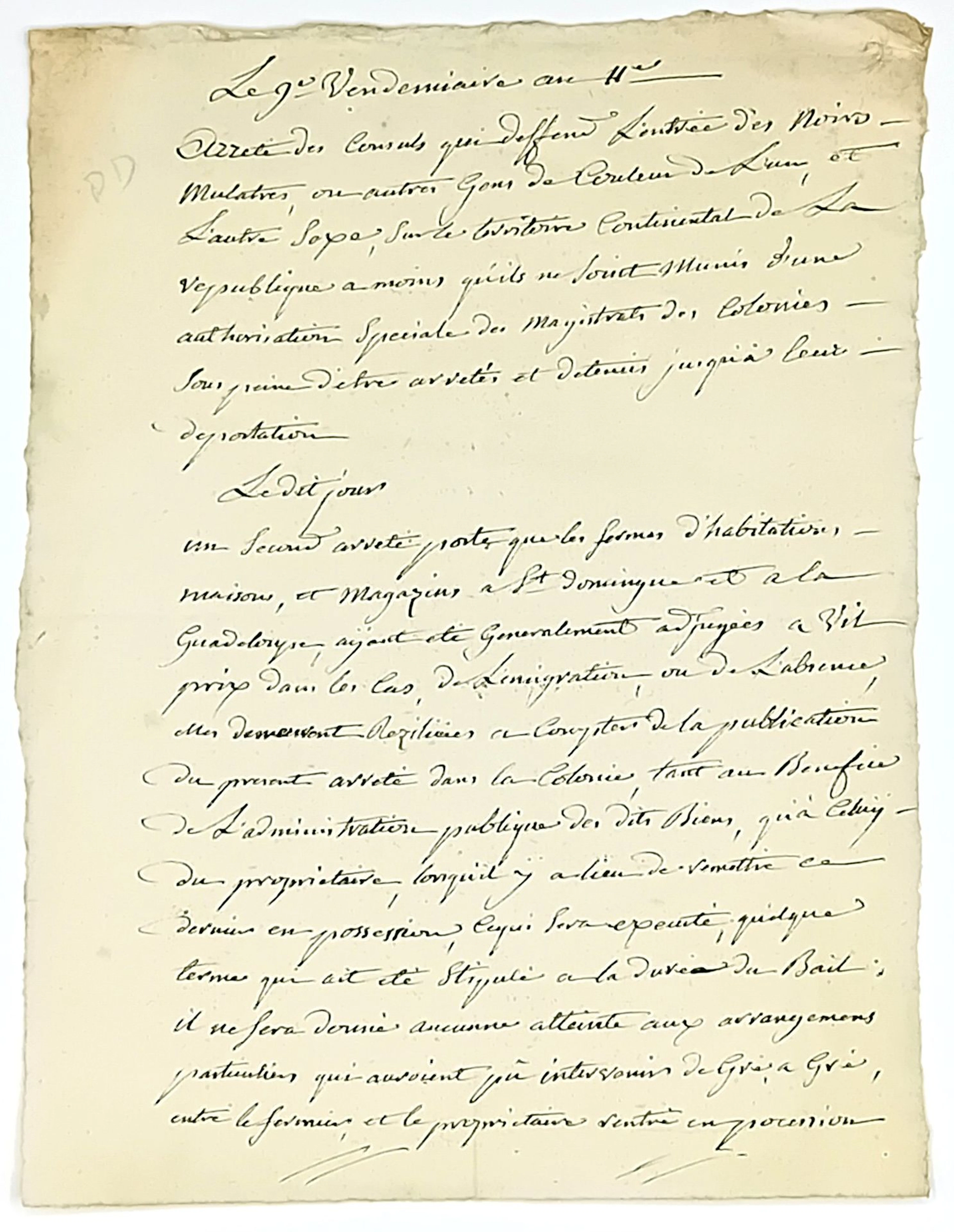
COLONIES. SLAVERY. Historical copies of Decrees of the Consu - Lot 335
10/20/2026
€200
Stima: €200
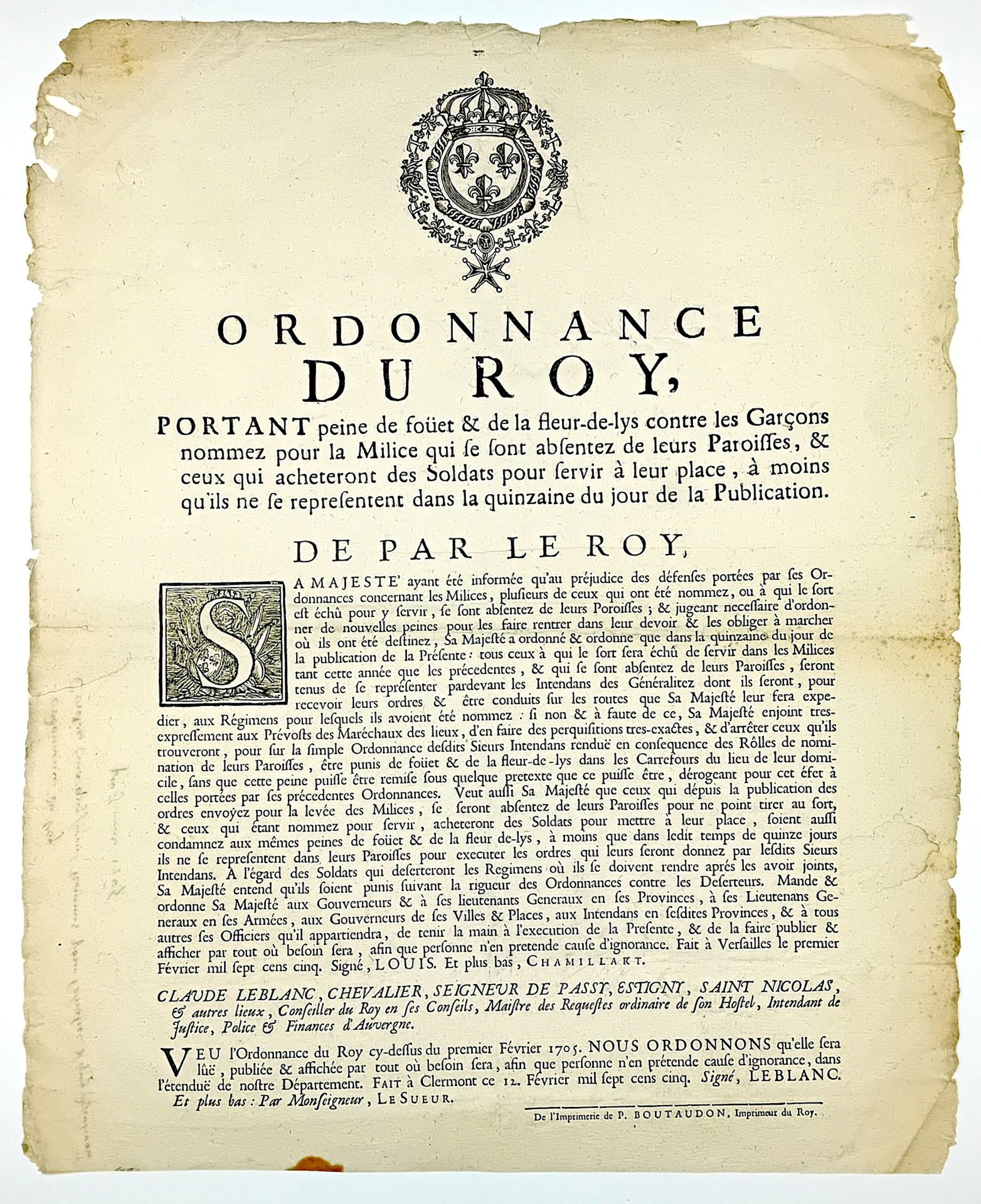
AUVERGNE. MILITIA 1705. “Ordinance of King LOUIS XIV, imposi - Lot 44
10/20/2026
€100
Stima: €100
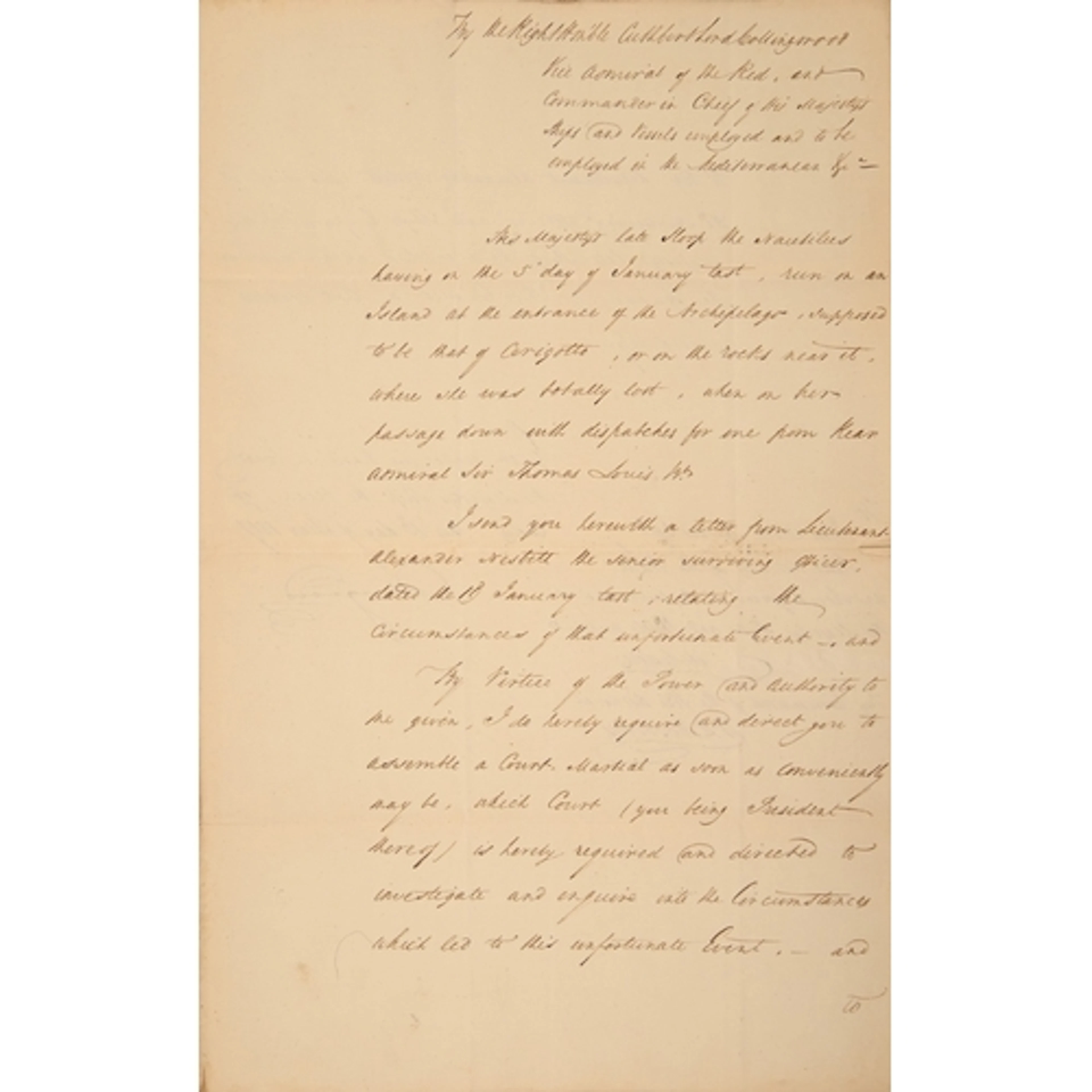
Royal Navy. Vice-Admiral Cuthbert Collingwood, 1st Baron Col...
10/13/2026

€378.2
Stima: €174.99
Porta la tua asta ai collezionisti di tutto il mondo!
Pubblica oraIscrivendoti, accetti la politica sulla privacy. Annulla l'iscrizione in qualsiasi momento.
Barnebys HQ
Brahegatan 10
BOX 5038
114 37 Stockholm
