







Tutte le aste / Libri, Mappe & Manoscritti / Antique Devon County Map, English, Framed 17th Century Atlas Cartography
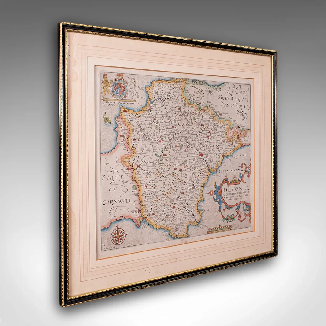
This is an antique Devon county map. An English, framed atlas engraving of Devonshire, dating to the 17th century and later, circa 1650. A fascinating and highly decorative cartographic work, presenting Devon as it appeared in the early modern period. This antique county map is a superb 17th century map engraving, offering historic Devon interest and classic decorative appeal. Perfect for collectors of antique cartography or regional history delivered ready to display. Max Width: 48cm (19'')Max Depth: 1cm (.5'')Max Height: 44cm (17.25'') Map Width: 35.5cm (14'')Map Height: 31cm (12.25'')
Stima:€704.29
Vai all’astaVedi tutti gli oggetti diLondon Fine AntiquesoLibri, Mappe & Manoscritti
Stima:
€704.29
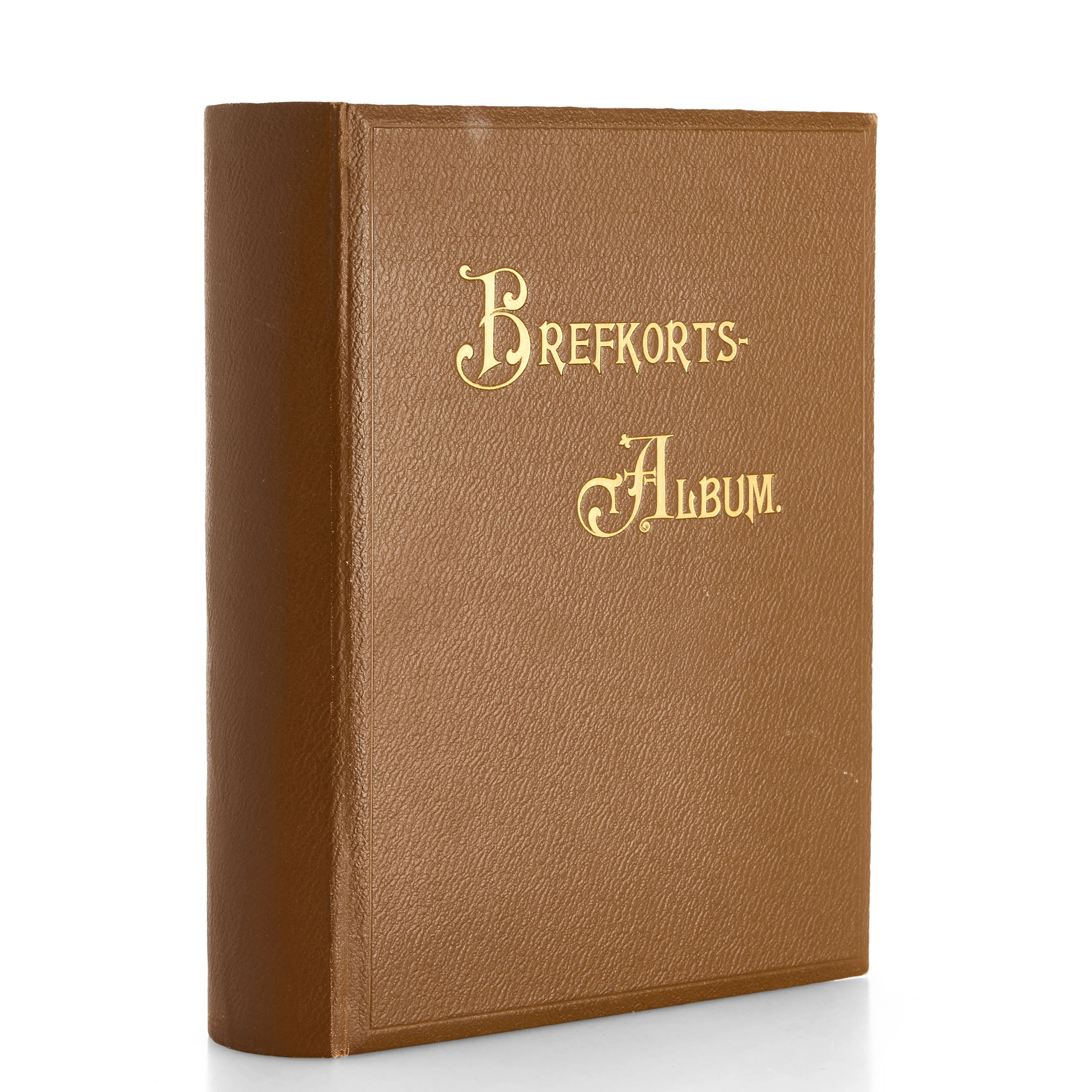
VYKORTSSAMLING - SVENSKA KUNGLIGHETER. GUSTAF V, OSCAR II M.FL. I
10/15/2026
€53.86
Stima: €89.46

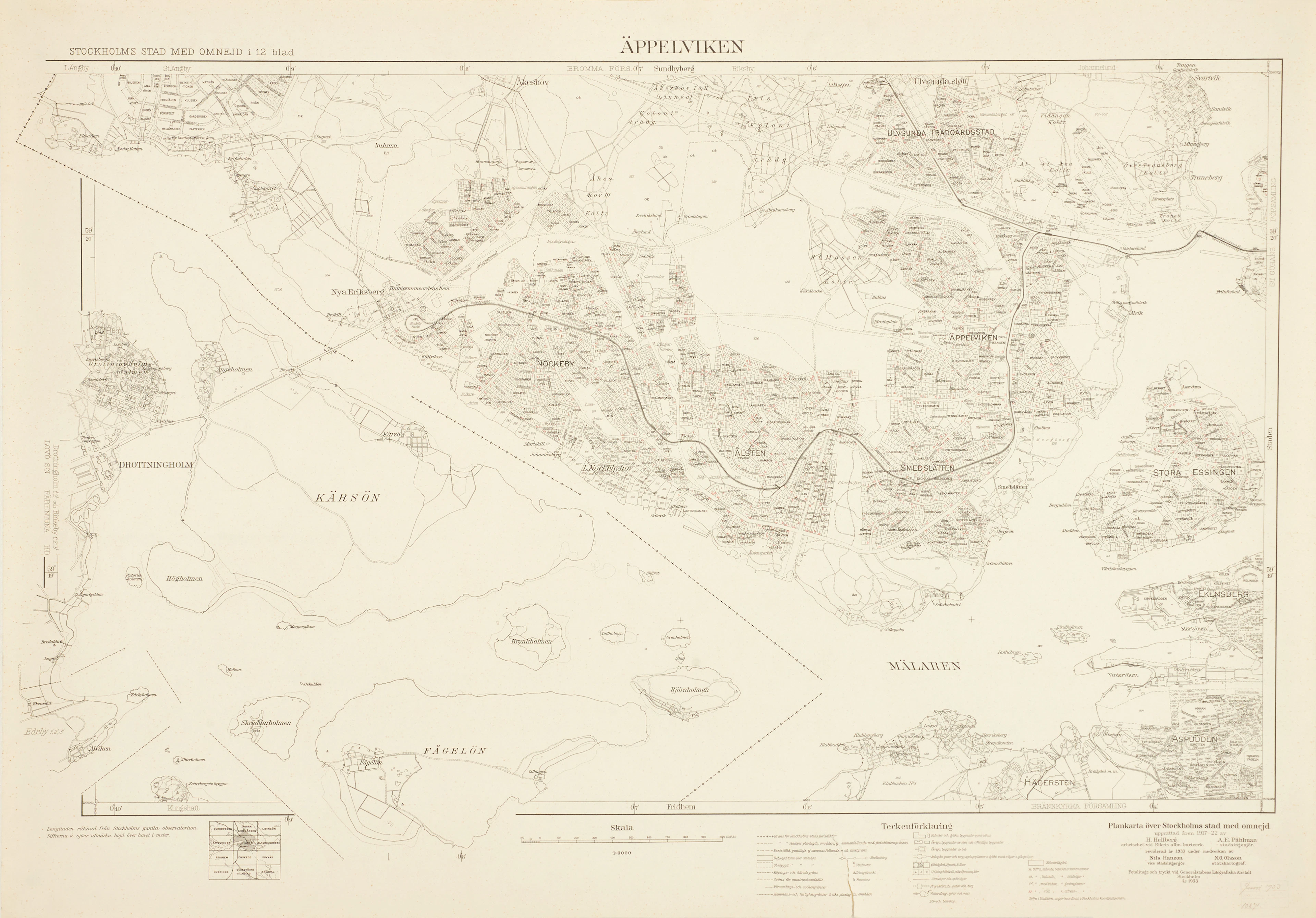
ÄPPELVIKEN, Plankarta över Stockholms Stad med omnejd, 1933, fotolitogr.
10/15/2026
€98.75
Stima: €89.46
Porta la tua asta ai collezionisti di tutto il mondo!
Pubblica oraIscrivendoti, accetti la politica sulla privacy. Annulla l'iscrizione in qualsiasi momento.
Barnebys HQ
Brahegatan 10
BOX 5038
114 37 Stockholm
