








Tutte le aste / Libri, Mappe & Manoscritti / Ancient Geography - Set of 8 maps; Meyer - - - 1821-1850

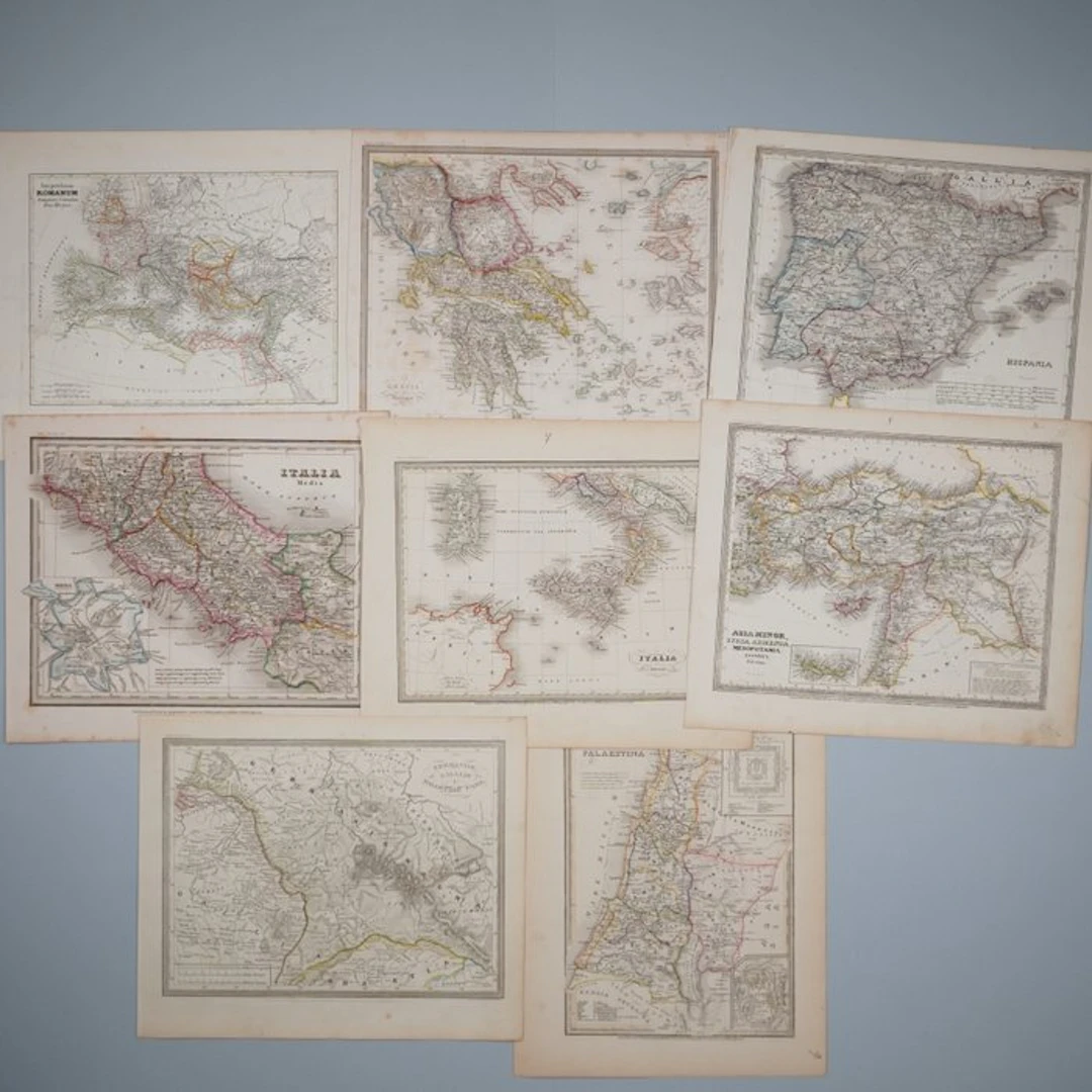
Set of 8 maps on ancient geography (Antiquity) from Meyer’s 1852 ‘Zeitungsatlas’, Bibliographic Institut Hildburghausen. Highly detailed and finely engraved steel-engraved maps, originally hand-coloured, some with city plans and surrounding area maps as supplementary maps. Included are: Imperium Romanum, Graecia Antiqua, Italia Media, Italia Inferior, Palaestina, Germaniae, Galliae & Rhaetiae Pars, Asia Minor, Syria, Armenia, Assyria, Palestina, Hispania sheet size 25x 31 cm Condition very good condition, some sheets slightly age-toned.
Stima:€15
Vai all’astaVedi tutti gli oggetti diCatawikioLibri, Mappe & Manoscritti
Stima:
€15
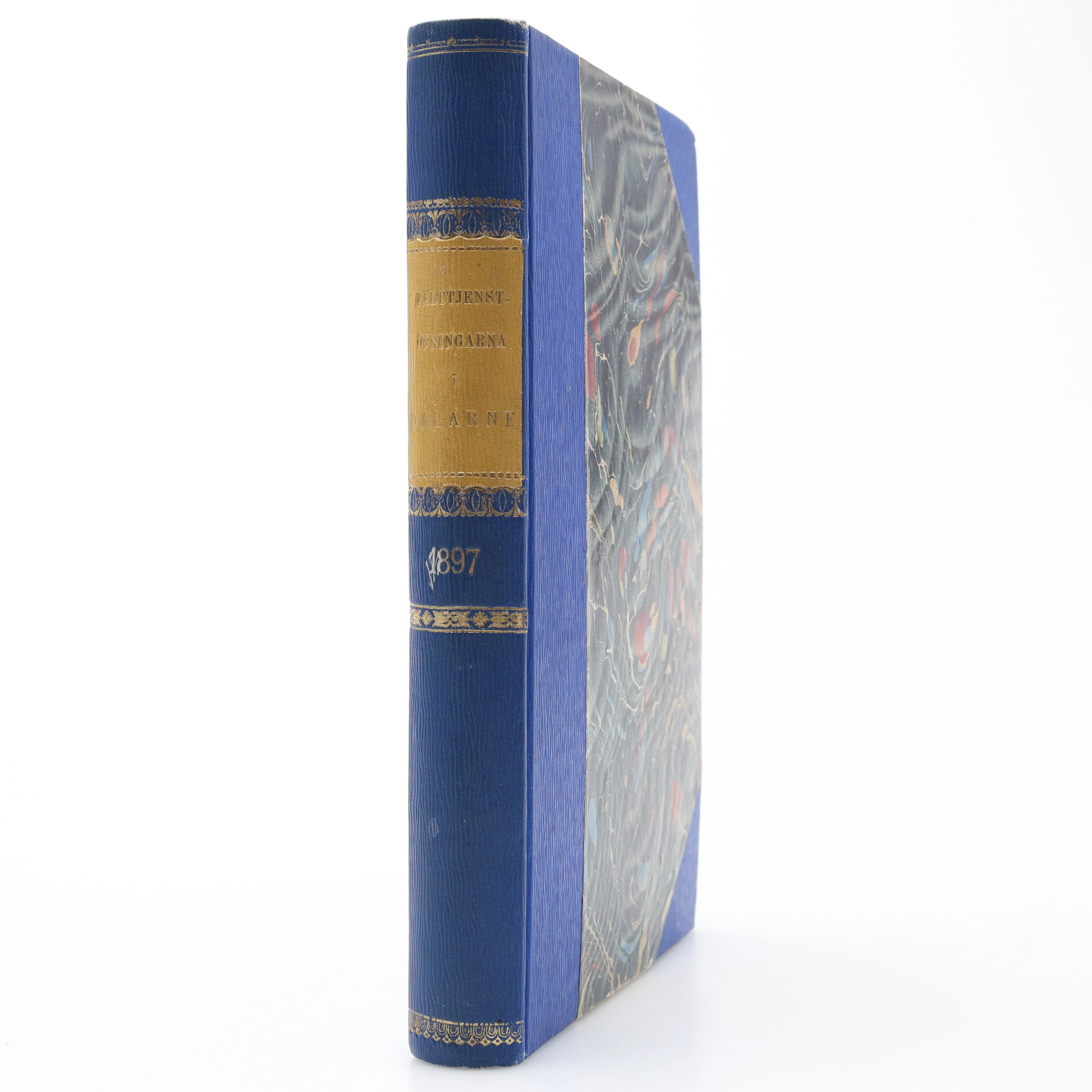
MILITARIA. GENERALSTABENS BERÄTTELSE OM FÄLTTJENSTÖFNINGARNA I DALARNE
10/17/2026
€26.95
Stima: €31.24
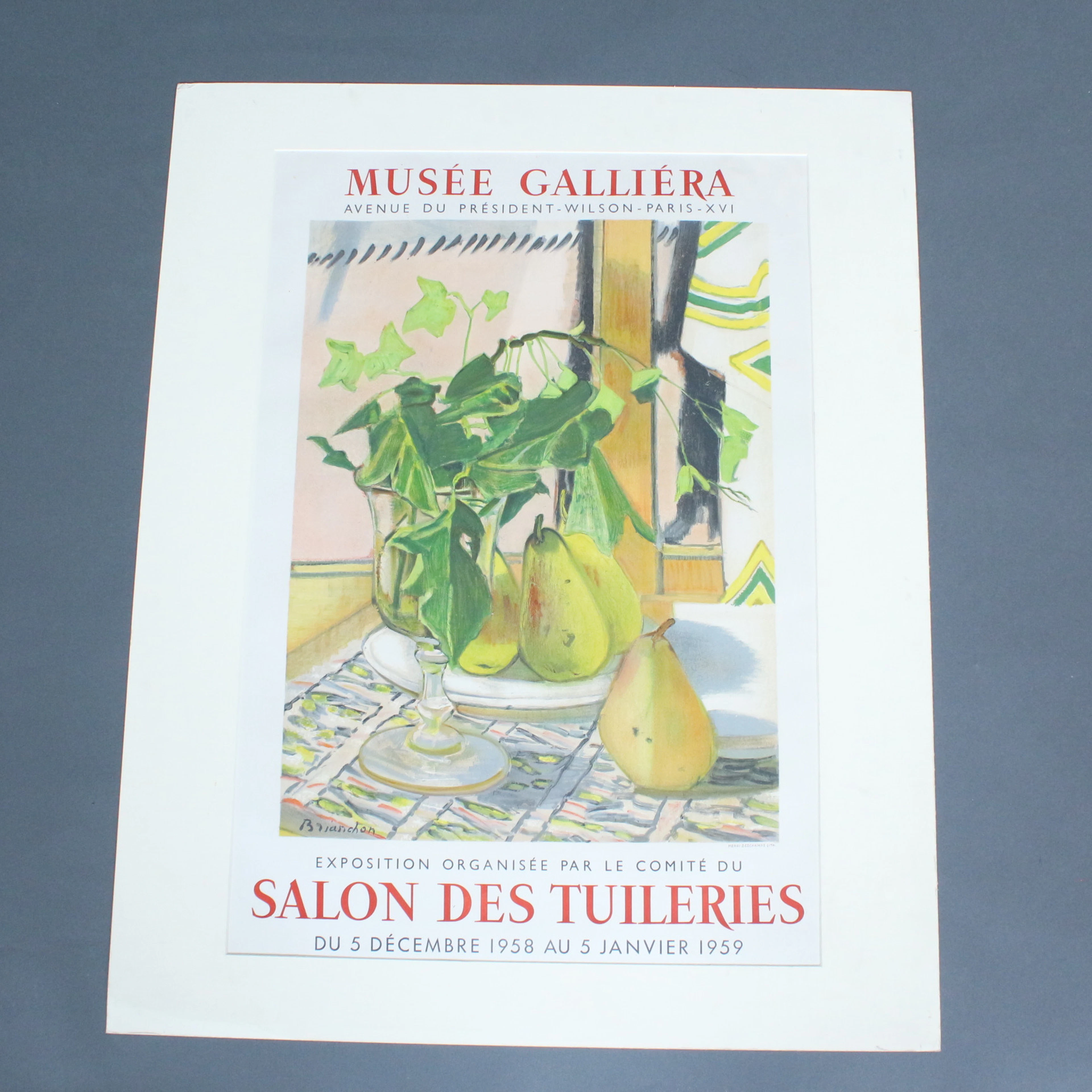
Plakat, Musee Galliera, '' Salon Des Tuileries.
10/17/2026
€50
Stima: €80
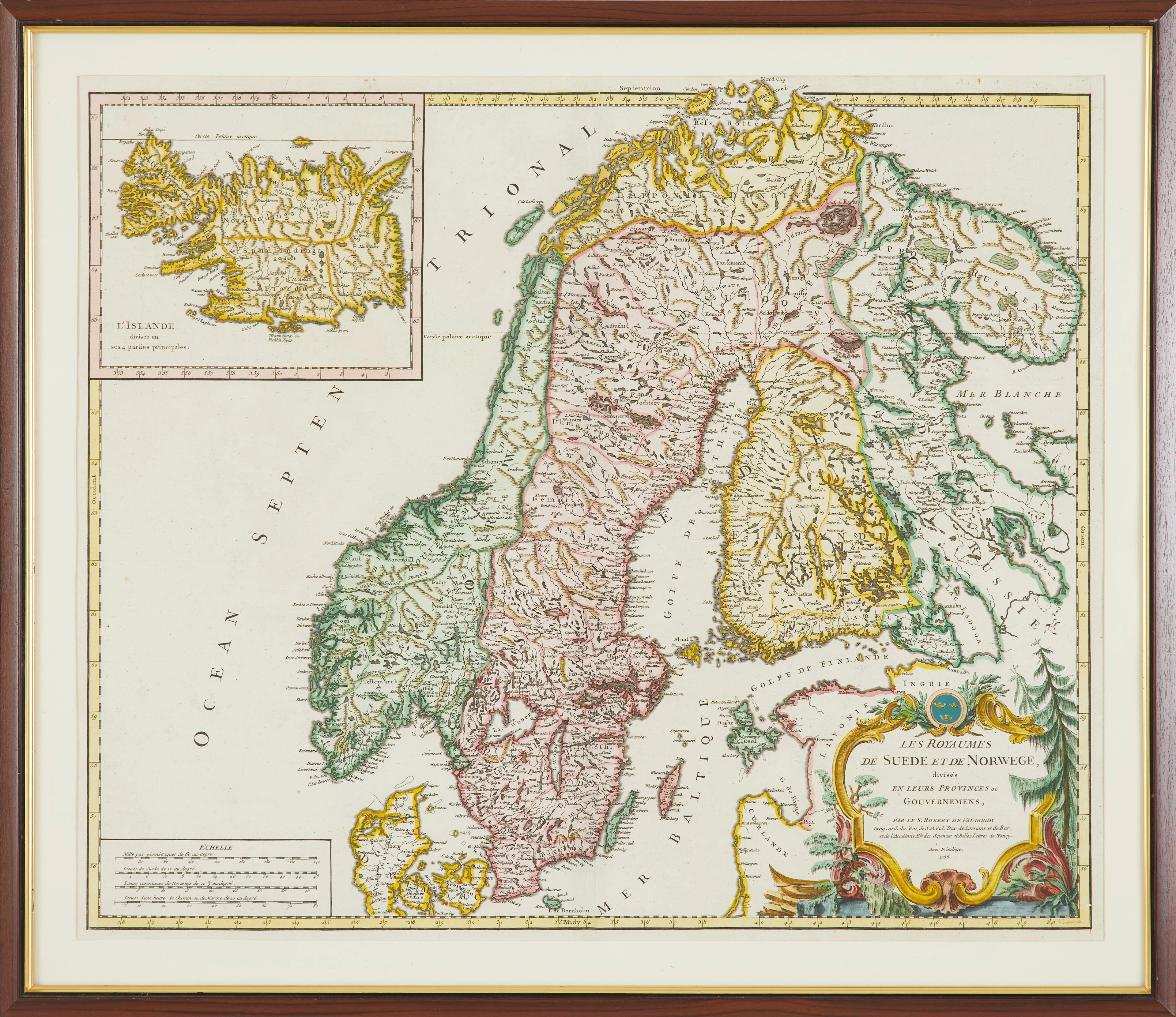
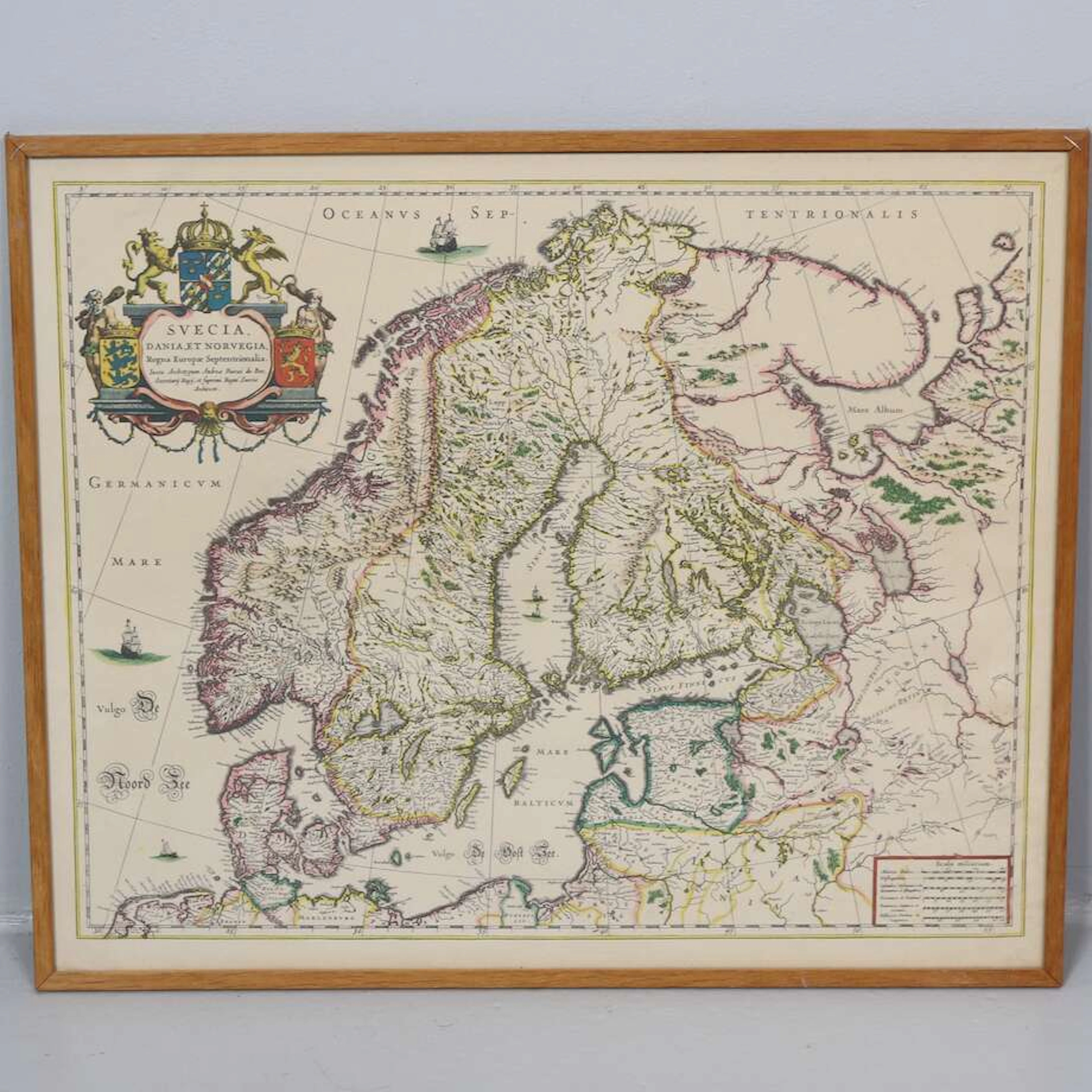
KARTA, " Les Royaumes De Sued Et De Norwege" av Gilles Robert De Vaugondy
10/17/2026
€89.85
Stima: €178.51
Porta la tua asta ai collezionisti di tutto il mondo!
Pubblica oraIscrivendoti, accetti la politica sulla privacy. Annulla l'iscrizione in qualsiasi momento.
Barnebys HQ
Brahegatan 10
BOX 5038
114 37 Stockholm
