
Tutte le aste / Libri, Mappe & Manoscritti / Africa - South Africa / Madagascar / Antananarivo / Cape...

Africa - South Africa / Madagascar / Antananarivo / Cape...
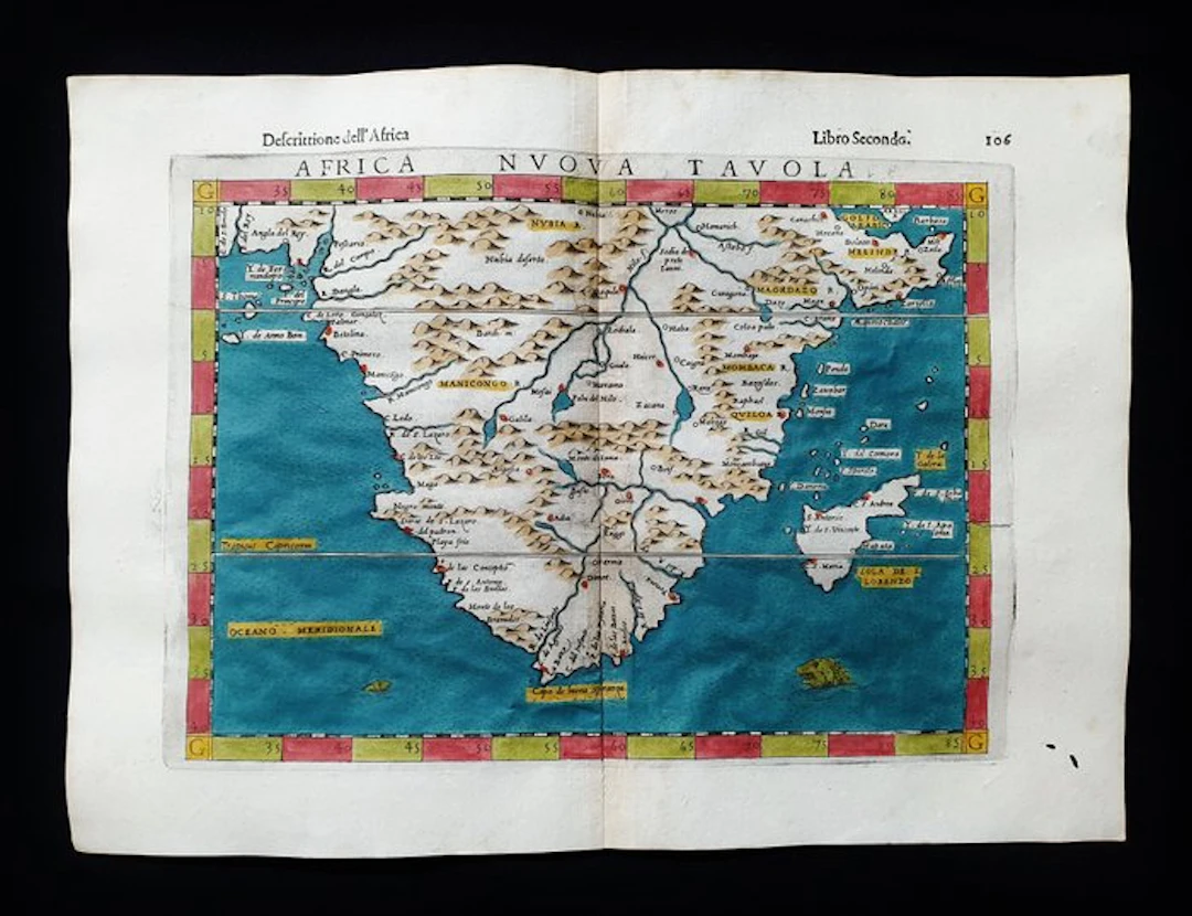
This Geographical Map is an original copper engraving from 1599 (16th Century...). This is the TOLEMAIC edition by MAGINI, RUSCELLI, ROSACCIO & MOLETO, published in 1599 in their work entitled: "The Geography of Claudius Ptolemy Alexandrinus, Translated from Greek into the Italian Vernacular, by GIROLAMO RUSCELLI, and now newly expanded by GIOSEFFO ROSACCIO... Venezia, 1599" Beautiful map published in Venice, with generous margins, excellent aquarelling, and very well detailed in every point. Conditions: the condition is good as shown in the photo, with a very small hole in the lower-right area, utterly negligible and easily removable. The overall dimensions of the map are: 34 cm x 25 cm
Stima:€200
Vai all’astaVedi tutti gli oggetti diCatawikioLibri, Mappe & Manoscritti
Stima:
€200
Oggetti simili





Risultati d’asta per oggetti simili
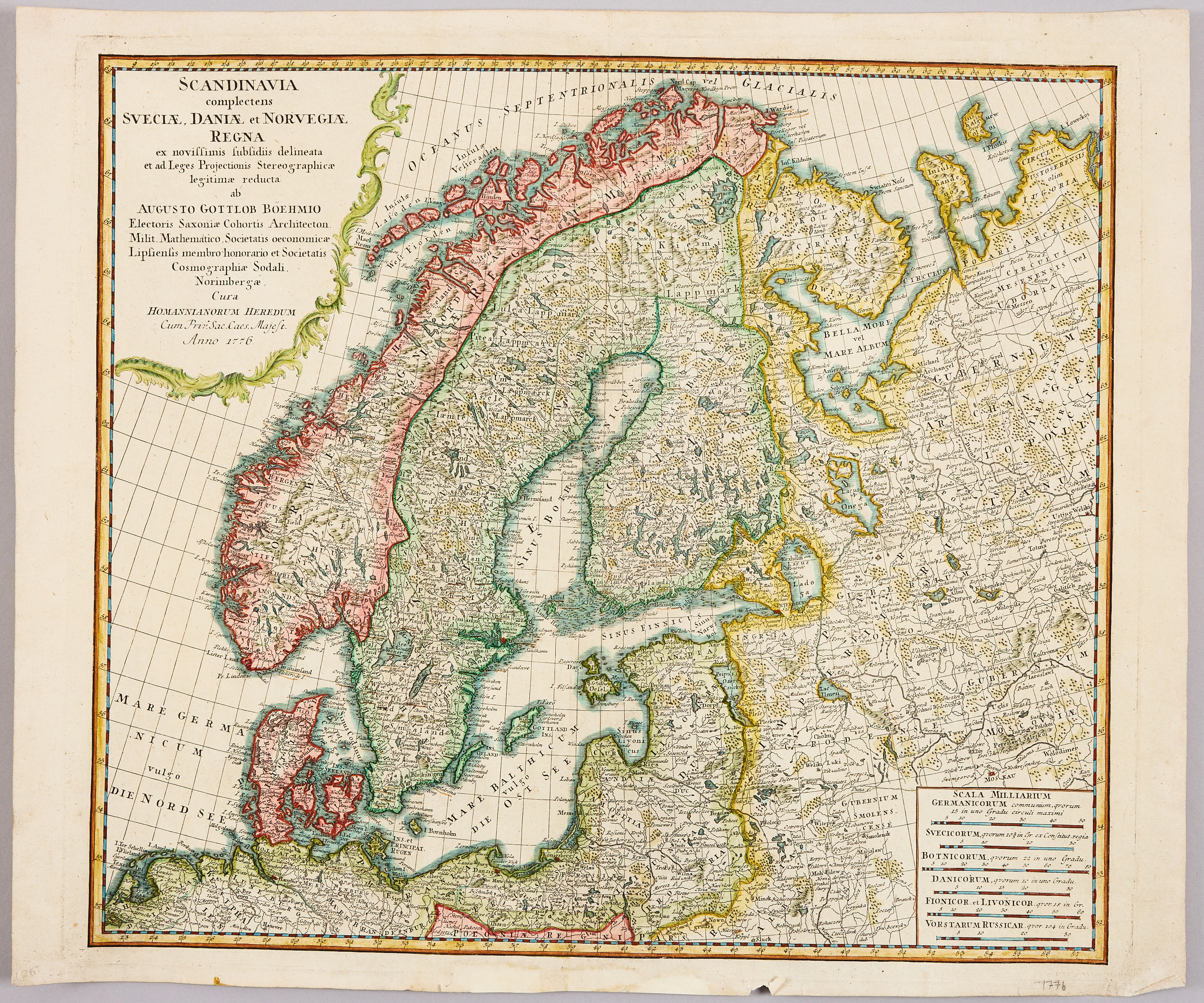
HOMANNS ARVINGAR, KARTA ÖVER SKANDINAVIEN, ca 1770.
10/09/2026
€98.27
Stima: €107.33


SERIETIDNINGAR, 57 st Fantomen, år 1950-56.
10/09/2026
€124.96
Stima: €71.55
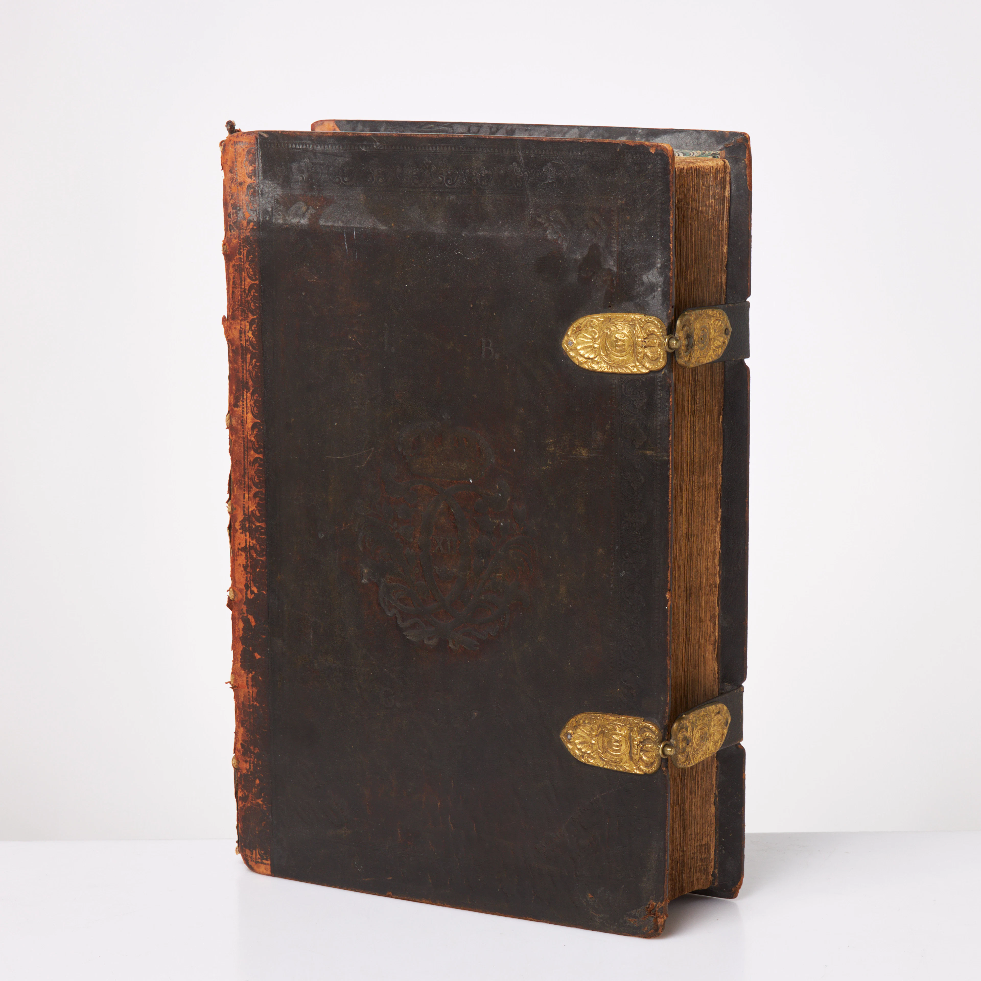
KARL XII:S BIBEL. 1703, samtida band.
10/09/2026
€580.17
Stima: €536.69
Porta la tua asta ai collezionisti di tutto il mondo!
Pubblica ora