Africa - [LOT of 2] - North Africa / Mediterranean...
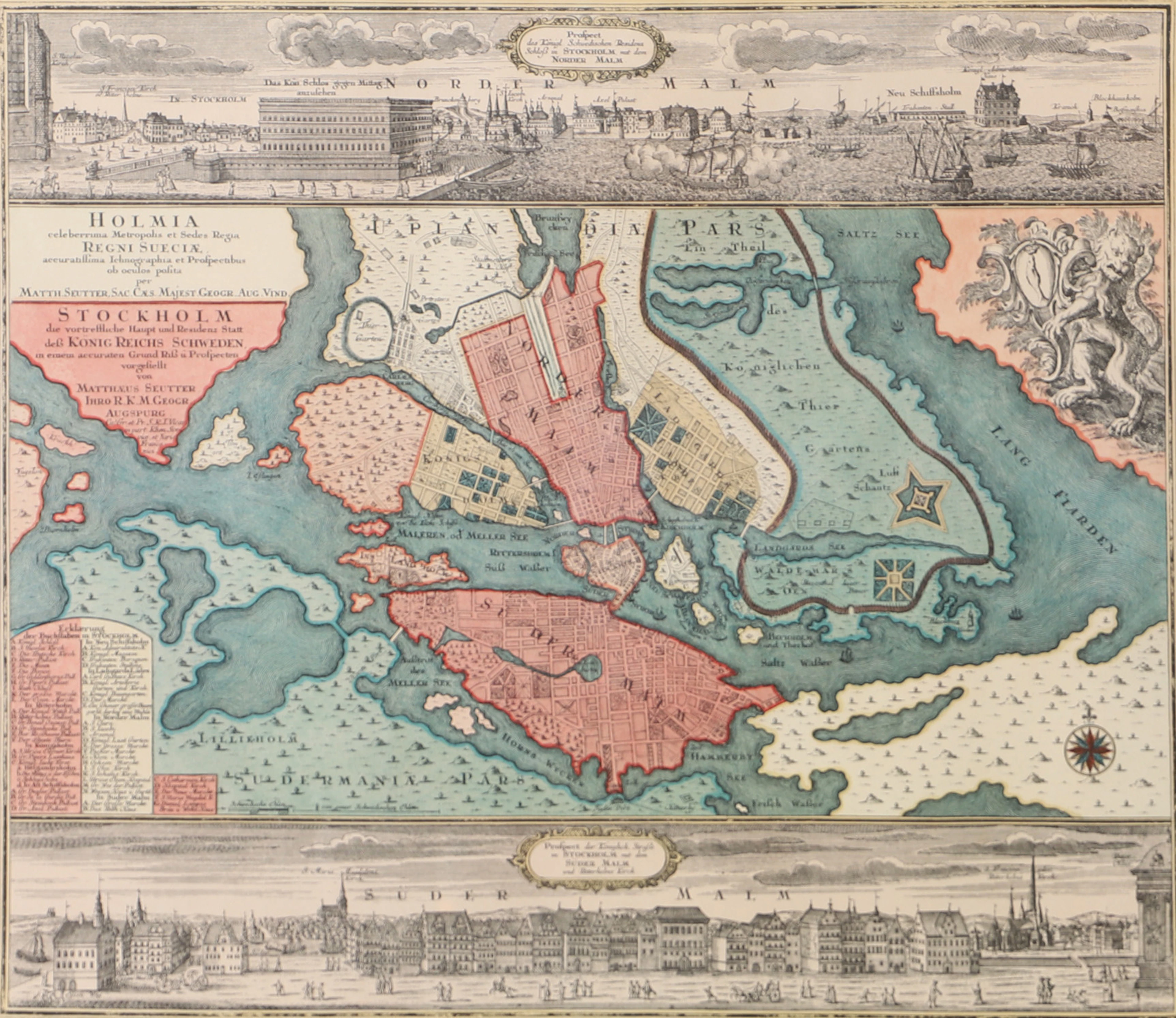
This LOT of 2 Geographical Maps is an original copperplate engraving from 1829. This is the updated edition of the famous Lapie work, published by ALEXANDRE and PIERRE LAPIE, in 1829. The maps in question come from the beautiful and most illustrated work titled: "Atlas Universel de Géographie ancienne et moderne, précédé d'une Abrégé de Geographie physique et historique..... A PARIS, 1829." Very large maps in enormous folio, published in Paris, with excellent original color, wide margins, and geographically well detailed in every point. Condition: the condition is very good, as shown in the photo. The overall dimensions of each individual map are: 67 cm x 52 cm
Stima:€1
Vai all’astaVedi tutti gli oggetti diCatawikioLibri, Mappe & Manoscritti


![Africa - [LOT of 2] - North Africa / Mediterranean...](https://bbys.imgix.net/34/30ccfa39530acf8c885718e32d062318200d79eda38097e104c89666cb60bba2.jpg?auto=format&w=1080&q=75)