








Tutte le aste / Libri, Mappe & Manoscritti / A Map of the Great Western Railway and its Connections in the British Isles

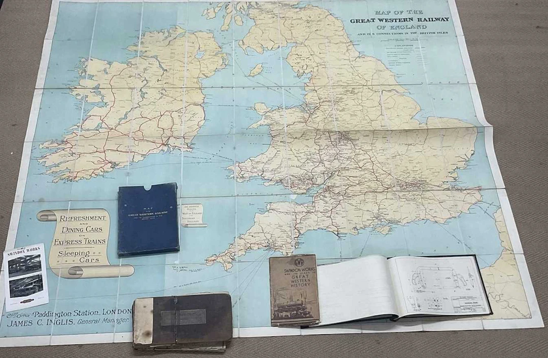
A Map of the Great Western Railway and its Connections in the British Isles, linen back, folded, now housed in a slipcase,height 158, width 175 cm together with a Great Western Railway, Diagrams of Gradients and Curves, containing approximately three hundred and forty-three diagrams, disbound, sold with faults, a book of diagrams from The Railway Executive of Civil Engineering Standard Designs, a Great Western Railway pamphlet titled, 'Swindon Works and Its Place in Great Western History', etc. Condition Report, Condition Report, No condition report has been requested on this lot. The absence of a condition report does not rule out wear or damage. Bidders are responsible for satisfying themselves as to the condition of the lot by personal inspection or formal request prior to the sale, Request condition report, Request condition report
Stima:€118.36
Vai all’astaVedi tutti gli oggetti diAdam PartridgeoLibri, Mappe & Manoscritti
Stima:
€118.36
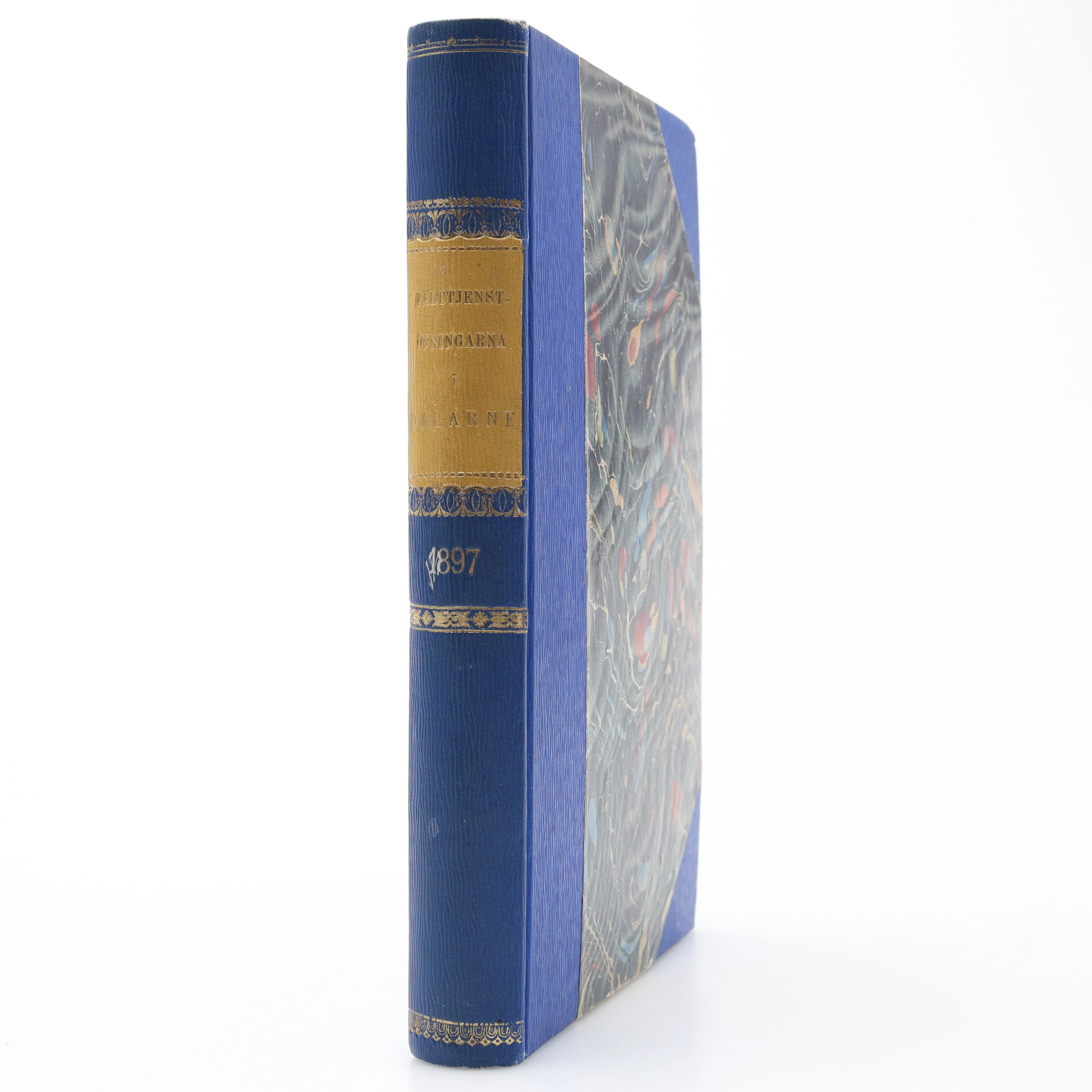
MILITARIA. GENERALSTABENS BERÄTTELSE OM FÄLTTJENSTÖFNINGARNA I DALARNE
10/17/2026
€26.95
Stima: €31.24
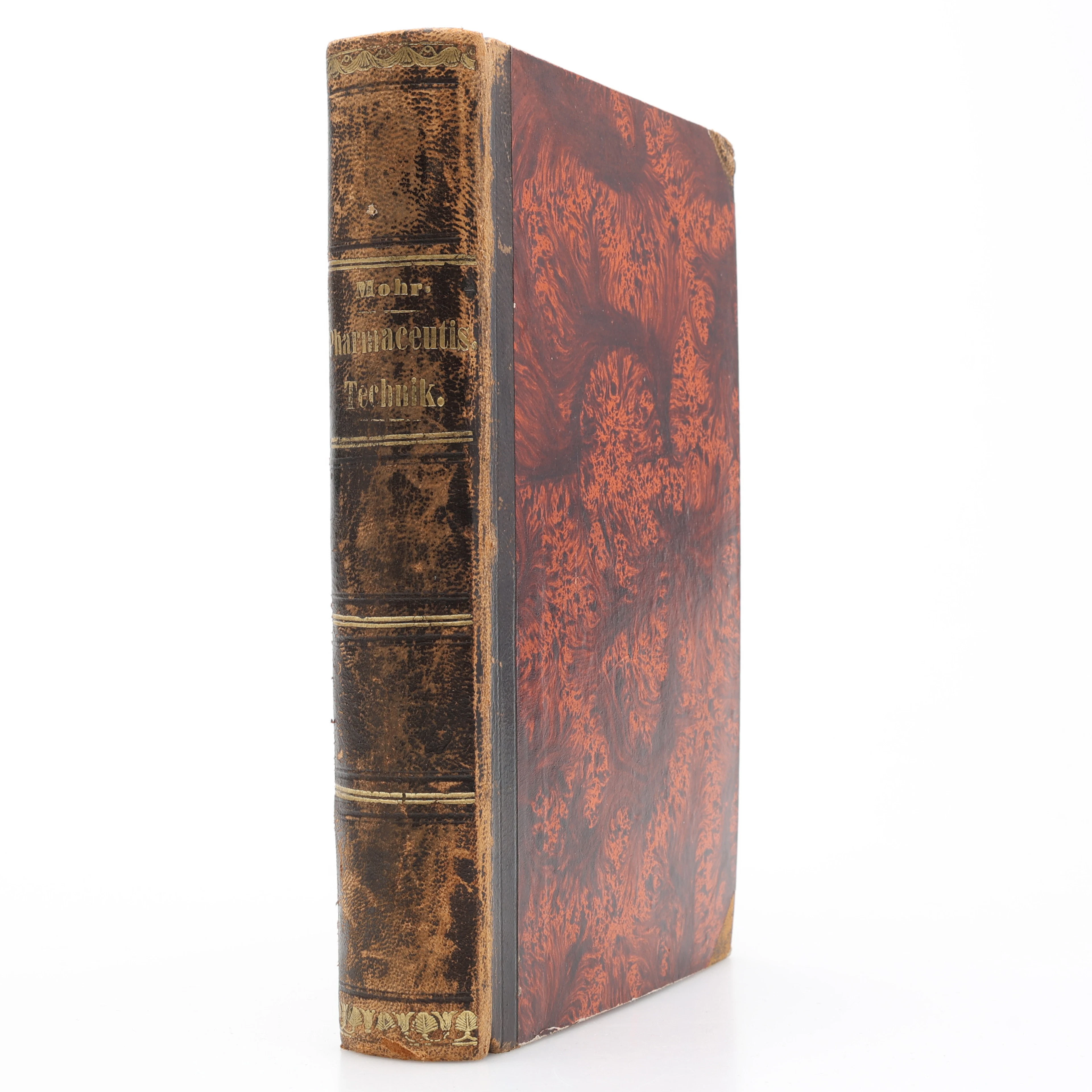
KEMI. KARL FRIEDRICH MOHR'S LEHRBUCH DER PHARMACEUTISCHEN TECHNIK
10/17/2026
€35.94
Stima: €44.88
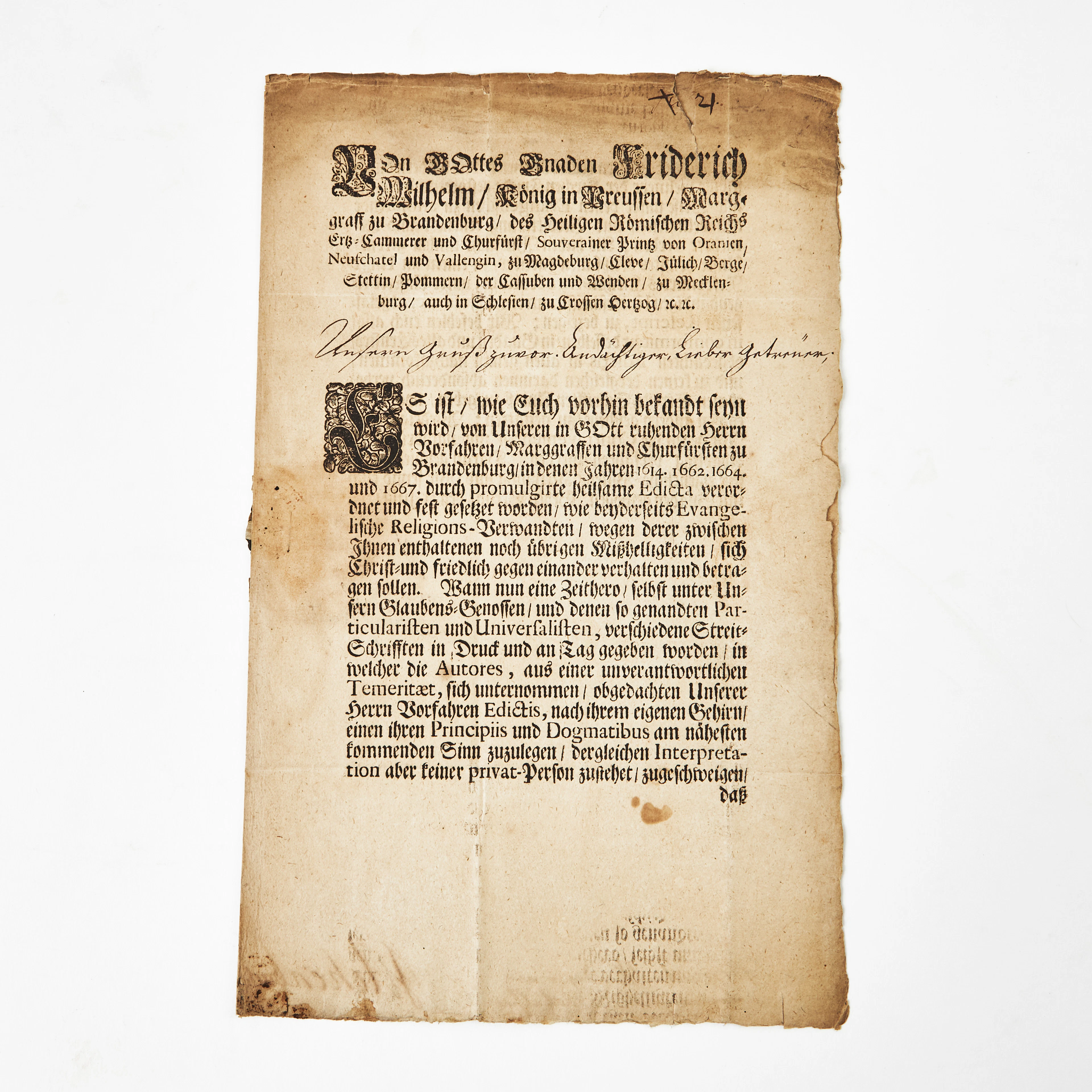
SKRIVELSE ANGÅENDE FÖRBJUDNA STRIDSKRIFTER, Berlin 1714, undertecknat
10/16/2026
€31.42
Stima: €133.88
Porta la tua asta ai collezionisti di tutto il mondo!
Pubblica oraIscrivendoti, accetti la politica sulla privacy. Annulla l'iscrizione in qualsiasi momento.
Barnebys HQ
Brahegatan 10
BOX 5038
114 37 Stockholm
